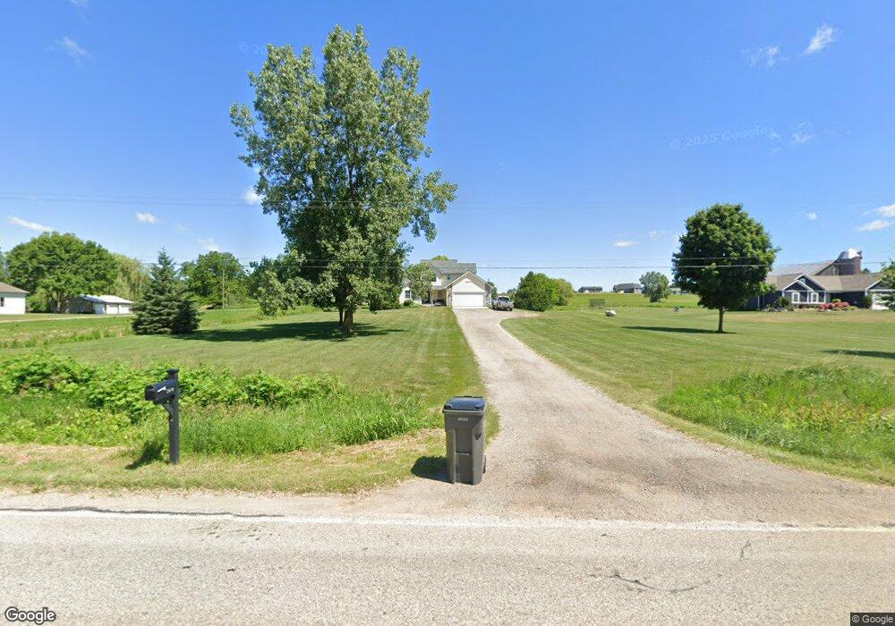
2639 146th Ave SW Byron Center, MI 49315
Estimated Value: $364,500 - $451,000
--
Bed
2
Baths
1,591
Sq Ft
$264/Sq Ft
Est. Value
About This Home
This home is located at 2639 146th Ave SW, Byron Center, MI 49315 and is currently estimated at $419,625, approximately $263 per square foot. 2639 146th Ave SW is a home located in Allegan County with nearby schools including Hopkins High School and St Marys Catholic Schools.
Ownership History
Date
Name
Owned For
Owner Type
Purchase Details
Closed on
Nov 8, 2023
Sold by
Kraft Dale and Kraft Kendra
Bought by
Kraft Kendra and Kraft Dale L
Current Estimated Value
Purchase Details
Closed on
Jun 26, 1997
Sold by
Weber Maurice and Weber Gertrude
Bought by
Kraft Dale and Kraft Kendra
Create a Home Valuation Report for This Property
The Home Valuation Report is an in-depth analysis detailing your home's value as well as a comparison with similar homes in the area
Home Values in the Area
Average Home Value in this Area
Purchase History
| Date | Buyer | Sale Price | Title Company |
|---|---|---|---|
| Kraft Kendra | -- | None Listed On Document | |
| Kraft Kendra | -- | None Listed On Document | |
| Kraft Dale | $17,000 | -- |
Source: Public Records
Tax History Compared to Growth
Tax History
| Year | Tax Paid | Tax Assessment Tax Assessment Total Assessment is a certain percentage of the fair market value that is determined by local assessors to be the total taxable value of land and additions on the property. | Land | Improvement |
|---|---|---|---|---|
| 2025 | $3,511 | $176,300 | $48,400 | $127,900 |
| 2024 | -- | $165,700 | $38,900 | $126,800 |
| 2023 | $3,272 | $153,700 | $36,700 | $117,000 |
| 2022 | $3,225 | $125,600 | $26,000 | $99,600 |
| 2021 | $3,080 | $116,500 | $26,800 | $89,700 |
| 2020 | $2,996 | $115,200 | $25,900 | $89,300 |
| 2019 | $2,934 | $100,900 | $14,500 | $86,400 |
| 2018 | $2,893 | $91,500 | $14,300 | $77,200 |
| 2017 | $0 | $90,300 | $14,300 | $76,000 |
| 2016 | $0 | $72,400 | $12,500 | $59,900 |
| 2015 | -- | $72,400 | $12,500 | $59,900 |
| 2014 | -- | $74,000 | $15,000 | $59,000 |
| 2013 | -- | $70,500 | $15,000 | $55,500 |
Source: Public Records
Map
Nearby Homes
- 312 Ottogan Hills Ct
- 402 Ottogan Hills Ct
- 10725 Windward Ave SW
- 10785 Windward Ave SW
- 10711 Windward Ave SW
- 10780 Windward Ave SW
- 1395 24th Ave
- 2081 142nd Ave
- 2742 Perry St
- V/L Ivanrest Ave SW
- 2280 8th Ave SW Unit Parcel 3
- Parcel H 34th St
- 3123 140th Ave
- 3096 140th Ave
- 3819 Hare Ln Unit 3
- 4589 Winding Creek Ln
- 2729 138th Ave
- 1649 Byron Rd
- 3410 92nd St SW
- 2371 Maple Lane Ave
- 2649 146th Ave SW
- 2633 146th Ave SW
- 12630 146th Ave
- 2630 146th Ave SW
- 2630 146th Ave SW
- 2645 146th Ave SW
- 4610 26th St
- 2686 146th Ave SW
- 4618 26th St
- 4624 26th St
- 4594 26th St
- 2610 146th Ave SW
- 4611 26th St
- 2667 146th Ave SW
- 4642 26th St
- 4567 27th St SW
- 2594 146th Ave
- 4623 26th St
- 2586 146th Ave SW
- 4647 26th St