2639 Big Pete Rd Franklin Furnace, OH 45629
Estimated Value: $185,000 - $289,000
2
Beds
2
Baths
1,368
Sq Ft
$165/Sq Ft
Est. Value
About This Home
This home is located at 2639 Big Pete Rd, Franklin Furnace, OH 45629 and is currently estimated at $225,087, approximately $164 per square foot. 2639 Big Pete Rd is a home located in Scioto County with nearby schools including Green Elementary School and Green High School.
Ownership History
Date
Name
Owned For
Owner Type
Purchase Details
Closed on
Dec 14, 2020
Sold by
Webb Dan and Webb Marsha K
Bought by
Tilton Mary
Current Estimated Value
Home Financials for this Owner
Home Financials are based on the most recent Mortgage that was taken out on this home.
Original Mortgage
$130,950
Outstanding Balance
$116,585
Interest Rate
2.7%
Mortgage Type
New Conventional
Estimated Equity
$108,502
Purchase Details
Closed on
Jan 1, 1987
Bought by
Webb Dan
Create a Home Valuation Report for This Property
The Home Valuation Report is an in-depth analysis detailing your home's value as well as a comparison with similar homes in the area
Home Values in the Area
Average Home Value in this Area
Purchase History
| Date | Buyer | Sale Price | Title Company |
|---|---|---|---|
| Tilton Mary | -- | None Listed On Document | |
| Webb Dan | -- | -- |
Source: Public Records
Mortgage History
| Date | Status | Borrower | Loan Amount |
|---|---|---|---|
| Open | Tilton Mary | $130,950 |
Source: Public Records
Tax History Compared to Growth
Tax History
| Year | Tax Paid | Tax Assessment Tax Assessment Total Assessment is a certain percentage of the fair market value that is determined by local assessors to be the total taxable value of land and additions on the property. | Land | Improvement |
|---|---|---|---|---|
| 2024 | $2,267 | $43,360 | $5,980 | $37,380 |
| 2023 | $2,267 | $43,360 | $5,980 | $37,380 |
| 2022 | $2,073 | $43,360 | $5,980 | $37,380 |
| 2021 | $1,881 | $39,650 | $5,240 | $34,410 |
| 2020 | $1,882 | $39,650 | $5,240 | $34,410 |
| 2019 | $1,869 | $39,650 | $5,240 | $34,410 |
| 2018 | $1,787 | $37,190 | $4,730 | $32,460 |
| 2017 | $1,544 | $37,190 | $4,730 | $32,460 |
| 2016 | $1,623 | $35,280 | $4,430 | $30,850 |
| 2015 | $1,665 | $35,280 | $4,430 | $30,850 |
| 2013 | $1,529 | $35,280 | $4,430 | $30,850 |
Source: Public Records
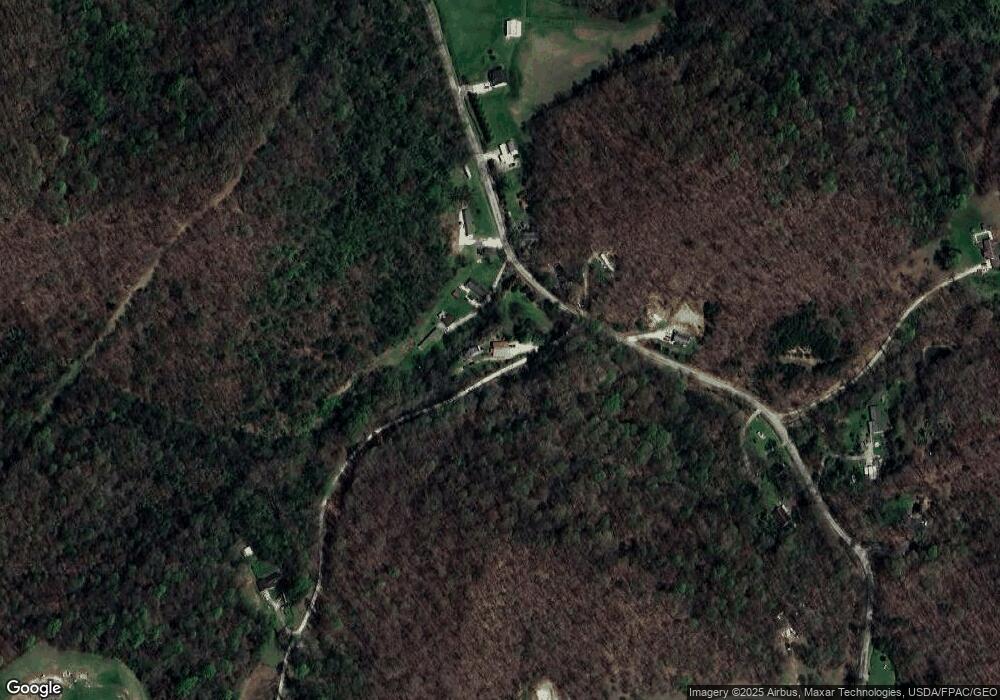
Map
Nearby Homes
- 3272 Big Pete Rd
- 3272 Big Pete Rd Unit A
- 863 County Road 9
- 1860 Haverhill Ohio Furance
- 4235 Ohio 522
- 6173 Ohio 522
- 0 Patriot Ridge Dr
- 3754 Ohio 522
- 71 Patriot Ridge Dr
- 0 Gerlach Rd Unit 152351
- 0 Gerlach Rd
- 176 Camp St
- 0000 Us 23 and St Rt 10
- 0 Riverview Ln Unit 181800
- 34 Green Dr
- 0 Harrison Ave
- 175 Harrison Ave
- 0 Church St
- 10391 Gallia Pike
- 0 Ohio 522 Unit 152342
- 2161 Big Pete Rd
- 2653 Big Pete Rd
- 0 Big Pete Rd
- 2089 Big Pete Rd
- 2089 Big Pete Rd
- 2089 Big Pete Rd
- 2089 Big Pete Rd
- 2471 Big Pete Rd
- 2209 Big Pete Rd
- 2227 Big Pete Rd
- 1447 Big Pete Rd
- 2634 Big Pete Rd
- 2558 Big Pete Rd
- 2055 Big Pete Rd
- 2445 Big Pete Rd
- 1995 Big Pete Rd
- 2298 Big Pete Rd
- 1967 Big Pete Rd
- 2336 Big Pete Rd
- 2586 Big Pete Rd