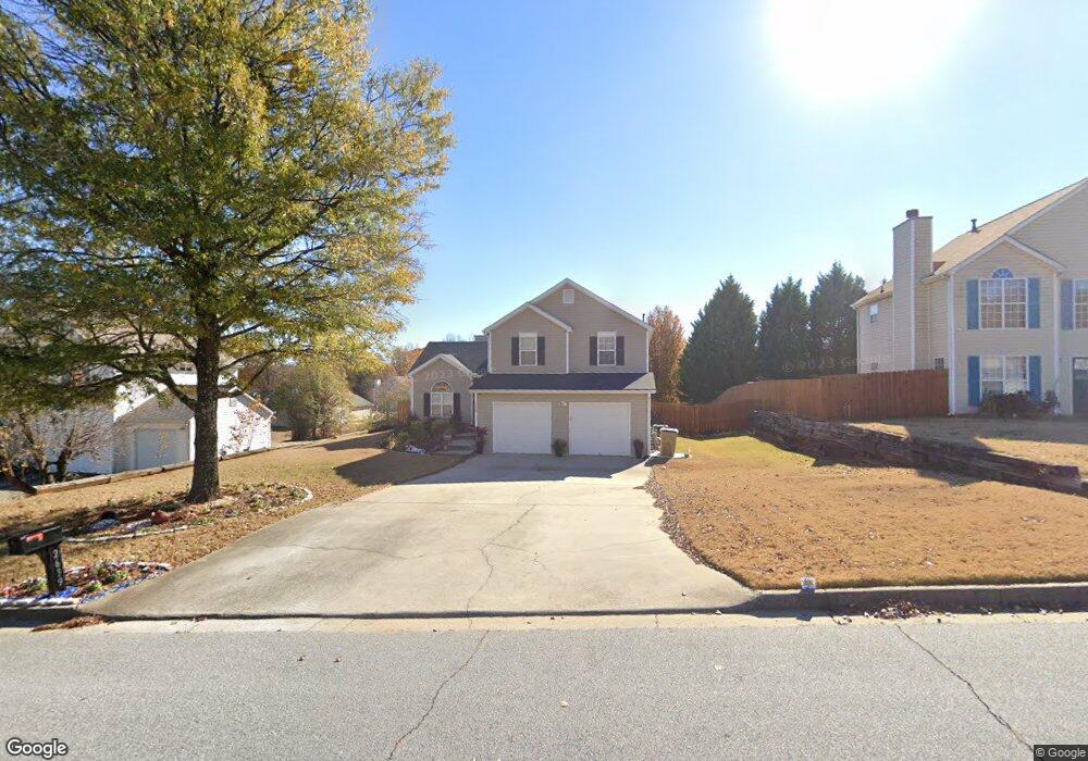
2639 Brenston Dr Unit 1 Ellenwood, GA 30294
Estimated Value: $238,457 - $265,000
3
Beds
3
Baths
1,476
Sq Ft
$171/Sq Ft
Est. Value
About This Home
This home is located at 2639 Brenston Dr Unit 1, Ellenwood, GA 30294 and is currently estimated at $252,364, approximately $170 per square foot. 2639 Brenston Dr Unit 1 is a home located in Clayton County with nearby schools including Thurgood Marshall Elementary School, Morrow Middle School, and Morrow High School.
Ownership History
Date
Name
Owned For
Owner Type
Purchase Details
Closed on
Jul 28, 2000
Sold by
Gt Architecture Contractors Corp
Bought by
Peters Rosalind C
Current Estimated Value
Home Financials for this Owner
Home Financials are based on the most recent Mortgage that was taken out on this home.
Original Mortgage
$112,504
Interest Rate
8.17%
Mortgage Type
FHA
Create a Home Valuation Report for This Property
The Home Valuation Report is an in-depth analysis detailing your home's value as well as a comparison with similar homes in the area
Home Values in the Area
Average Home Value in this Area
Purchase History
| Date | Buyer | Sale Price | Title Company |
|---|---|---|---|
| Peters Rosalind C | $114,000 | -- |
Source: Public Records
Mortgage History
| Date | Status | Borrower | Loan Amount |
|---|---|---|---|
| Previous Owner | Peters Rosalind C | $112,504 |
Source: Public Records
Tax History Compared to Growth
Tax History
| Year | Tax Paid | Tax Assessment Tax Assessment Total Assessment is a certain percentage of the fair market value that is determined by local assessors to be the total taxable value of land and additions on the property. | Land | Improvement |
|---|---|---|---|---|
| 2024 | $3,480 | $98,240 | $8,800 | $89,440 |
| 2023 | $3,447 | $95,480 | $8,800 | $86,680 |
| 2022 | $2,664 | $76,920 | $8,800 | $68,120 |
| 2021 | $2,209 | $64,960 | $8,800 | $56,160 |
| 2020 | $2,113 | $61,877 | $8,800 | $53,077 |
| 2019 | $1,972 | $57,644 | $6,400 | $51,244 |
| 2018 | $1,541 | $47,018 | $6,400 | $40,618 |
| 2017 | $1,195 | $38,438 | $6,400 | $32,038 |
| 2016 | $736 | $27,157 | $6,400 | $20,757 |
| 2015 | $734 | $0 | $0 | $0 |
| 2014 | $686 | $26,270 | $6,400 | $19,870 |
Source: Public Records
Map
Nearby Homes
- 2635 Luke Dr
- 5753 Gum Ct
- 5712 Wesson Dr Unit 2
- 0 Old Rex Morrow Rd Unit 7659496
- 0 Old Rex Morrow Rd Unit 10616003
- 5790 Twain Dr
- 2850 Amerson Trail
- 5871 Dan Dr
- 0 Poplar Ave Unit 10580022
- 0 Poplar Ave Unit 10481115
- 0 Poplar Ave Unit 7543163
- 2382 Old Rex Morrow Rd
- 2436 Rex Rd
- 5838 Highway 42
- 2811 Appaloosa Run
- 2247 Cypress Ave
- 5516 Bryant Blvd
- 2276 Santa fe St Unit 19
- 2272 Santa fe St Unit 21
- 2274 Santa fe St Unit 20
- 2647 Brenston Dr
- 2631 Brenston Dr
- 2642 Deann Dr Unit 1
- 2655 Brenston Dr
- 2623 Brenston Dr
- 0 Brenston Dr Unit 7232900
- 0 Brenston Dr Unit 7369861
- 0 Brenston Dr Unit 7252750
- 0 Brenston Dr Unit 7058117
- 2650 Deann Dr
- 2634 Deann Dr
- 2636 Brenston Dr Unit I
- 2644 Brenston Dr
- 2626 Deann Dr
- 2615 Brenston Dr
- 2628 Brenston Dr
- 2652 Brenston Dr
- 2665 Brenston Dr Unit 2
- 2620 Brenston Dr
- 2618 Deann Dr