2639 Highway 78 Absarokee, MT 59001
Estimated Value: $578,871 - $953,000
4
Beds
2
Baths
1,618
Sq Ft
$433/Sq Ft
Est. Value
About This Home
This home is located at 2639 Highway 78, Absarokee, MT 59001 and is currently estimated at $700,468, approximately $432 per square foot. 2639 Highway 78 is a home located in Stillwater County with nearby schools including Absarokee School, Absarokee Junior High School, and Absarokee High School.
Ownership History
Date
Name
Owned For
Owner Type
Purchase Details
Closed on
May 1, 2008
Sold by
Staigmiller Robert B and Staigmiller Nancy L
Bought by
Campbell Richard L and Campbell Amanda E
Current Estimated Value
Home Financials for this Owner
Home Financials are based on the most recent Mortgage that was taken out on this home.
Original Mortgage
$257,400
Outstanding Balance
$159,489
Interest Rate
5.81%
Mortgage Type
VA
Estimated Equity
$540,979
Create a Home Valuation Report for This Property
The Home Valuation Report is an in-depth analysis detailing your home's value as well as a comparison with similar homes in the area
Purchase History
| Date | Buyer | Sale Price | Title Company |
|---|---|---|---|
| Campbell Richard L | -- | -- |
Source: Public Records
Mortgage History
| Date | Status | Borrower | Loan Amount |
|---|---|---|---|
| Open | Campbell Richard L | $257,400 |
Source: Public Records
Tax History
| Year | Tax Paid | Tax Assessment Tax Assessment Total Assessment is a certain percentage of the fair market value that is determined by local assessors to be the total taxable value of land and additions on the property. | Land | Improvement |
|---|---|---|---|---|
| 2025 | $1,896 | $516,100 | $0 | $0 |
| 2024 | $2,354 | $393,100 | $0 | $0 |
| 2023 | $2,324 | $393,100 | $0 | $0 |
| 2022 | $1,843 | $278,800 | $0 | $0 |
| 2021 | $1,654 | $278,800 | $0 | $0 |
| 2020 | $1,737 | $259,700 | $0 | $0 |
| 2019 | $1,766 | $259,700 | $0 | $0 |
| 2018 | $1,680 | $233,800 | $0 | $0 |
| 2017 | $1,760 | $233,800 | $0 | $0 |
| 2016 | $1,454 | $205,500 | $0 | $0 |
| 2015 | $1,279 | $205,500 | $0 | $0 |
| 2014 | $1,462 | $124,444 | $0 | $0 |
Source: Public Records
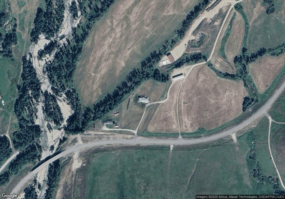
Map
Nearby Homes
- 104 Running River Way
- 2825 & 2830 Highway 78 S
- 2994 Highway 78
- 12 Crow Child Trail
- 16 Crow Child Trail
- 20-21 Turkey Creek Dr
- 119 S Woodard Ave
- 12 Avis St
- A Johnson Dr Unit A
- 10 Alison Dr
- HWY 78 Parcel 1
- 21 E Rosebud Rd
- 59 Abattoir Rd
- 50 Mystic View Rd
- 1019 Red Lodge Creek Rd
- 287 Spring Creek Rd
- 74 Lower Luther Rd
- Tbd 14 Ac Lower Luther Rd
- TBD 14 Ac Lower Luther Rd
- 1211 Highway 78
Your Personal Tour Guide
Ask me questions while you tour the home.