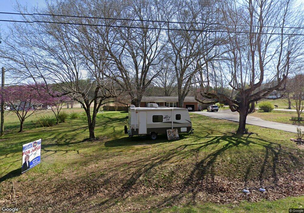
2639 Highway 95 Rock Spring, GA 30739
Rock Spring NeighborhoodEstimated Value: $250,262 - $397,000
--
Bed
2
Baths
1,960
Sq Ft
$170/Sq Ft
Est. Value
About This Home
This home is located at 2639 Highway 95, Rock Spring, GA 30739 and is currently estimated at $333,066, approximately $169 per square foot. 2639 Highway 95 is a home located in Walker County with nearby schools including Rock Spring Elementary School, Lafayette High School, and Alice M Daley Adventist School.
Ownership History
Date
Name
Owned For
Owner Type
Purchase Details
Closed on
Jun 30, 2005
Sold by
Riddle Gregory L
Bought by
Coffey Thoams C and Coffey Celia G
Current Estimated Value
Purchase Details
Closed on
May 18, 2005
Sold by
Not Provided
Bought by
Coffey Thomas C and Coffey Celia G
Purchase Details
Closed on
Nov 12, 2001
Sold by
Center Grove Baptist Church In
Bought by
Neal Sheila C
Purchase Details
Closed on
Oct 2, 2001
Sold by
Prater Wade
Bought by
Center Grove Baptist Church In
Purchase Details
Closed on
Oct 2, 2000
Sold by
Center Grove Baptist Church
Bought by
Prater Wade
Purchase Details
Closed on
Apr 29, 1963
Bought by
Center Grove Baptist Church
Create a Home Valuation Report for This Property
The Home Valuation Report is an in-depth analysis detailing your home's value as well as a comparison with similar homes in the area
Home Values in the Area
Average Home Value in this Area
Purchase History
| Date | Buyer | Sale Price | Title Company |
|---|---|---|---|
| Coffey Thoams C | -- | -- | |
| Coffey Thomas C | -- | -- | |
| Neal Sheila C | $84,100 | -- | |
| Center Grove Baptist Church In | -- | -- | |
| Prater Wade | $82,100 | -- | |
| Center Grove Baptist Church | -- | -- |
Source: Public Records
Tax History Compared to Growth
Tax History
| Year | Tax Paid | Tax Assessment Tax Assessment Total Assessment is a certain percentage of the fair market value that is determined by local assessors to be the total taxable value of land and additions on the property. | Land | Improvement |
|---|---|---|---|---|
| 2024 | $280 | $94,006 | $7,134 | $86,872 |
| 2023 | $280 | $88,065 | $5,662 | $82,403 |
| 2022 | $203 | $75,586 | $4,553 | $71,033 |
| 2021 | $866 | $61,876 | $4,553 | $57,323 |
| 2020 | $636 | $49,395 | $4,553 | $44,842 |
| 2019 | $662 | $49,395 | $4,553 | $44,842 |
| 2018 | $1,307 | $49,395 | $4,553 | $44,842 |
| 2017 | $835 | $49,395 | $4,553 | $44,842 |
| 2016 | $1,290 | $49,395 | $4,553 | $44,842 |
| 2015 | $1,291 | $46,570 | $8,712 | $37,858 |
| 2014 | $1,189 | $46,570 | $8,712 | $37,858 |
| 2013 | -- | $46,570 | $8,712 | $37,858 |
Source: Public Records
Map
Nearby Homes
- 0 Tarvin Rd Unit 1523862
- 0 Cheshire Crossing Dr Unit 1387793
- 287 E Teems Rd
- 0 Colbert Hollow Rd Unit 1513202
- 265 Rodeo Dr
- 0 E Teems Rd Unit 7573954
- 0 Clyde Byrd Rd
- 5602 Georgia 95
- 00 Georgia 95
- 449 W Watts Rd
- 10180 Us Highway 27
- 76 Side Kick Ln
- 0 Veeler Rd Unit 1522679
- 0 Veeler Rd Unit 10628696
- 1003 Highway N Old 27
- 62 Lerch Ln
- 1370 Old Highway 27
- 15 Willow Cir
- 23 Willow Cir
- 1585 E Reed Rd
- 45 Wood Station Rd
- 30 Wood Station Rd
- 30 Wood Station Rd
- 30 Wood Station Rd Unit 1
- 30 Wood Station Rd Unit 2
- 40 Wood Station Rd
- 40 Wood Station Rd Unit 2
- 16 Wood Station Rd Unit Lot 16
- 0 Wood Station Rd
- 00 Wood Station Rd
- 0 Wood Station Rd Unit 1226891
- 0 Wood Station Rd Unit 1100725
- 0 Wood Station Rd Unit 1184827
- 0 Wood Station Rd Unit 1015518
- 0 Wood Station Rd Unit 1018610
- 0 Wood Station Rd Unit 1144469
- 0 Wood Station Rd Unit 1127475
- 0 Wood Station Rd Unit 1123330
- 0 Wood Station Rd Unit 7195290
- 80 Wood Station Rd