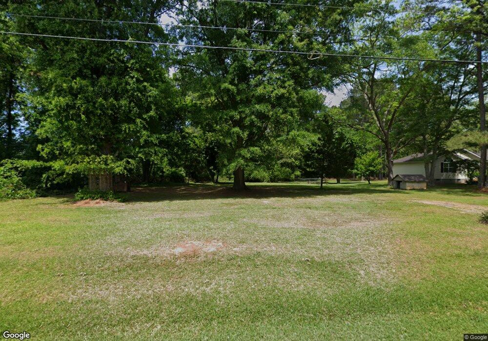
2639 W Mcintosh Rd Griffin, GA 30223
Spalding County NeighborhoodEstimated Value: $110,000 - $218,000
--
Bed
--
Bath
560
Sq Ft
$273/Sq Ft
Est. Value
About This Home
This home is located at 2639 W Mcintosh Rd, Griffin, GA 30223 and is currently estimated at $153,000, approximately $273 per square foot. 2639 W Mcintosh Rd is a home with nearby schools including Orrs Elementary School, Carver Road Middle School, and Griffin High School.
Ownership History
Date
Name
Owned For
Owner Type
Purchase Details
Closed on
Jul 7, 2022
Sold by
Hayes Kimberly Moss
Bought by
Allen Kimberly Moss
Current Estimated Value
Purchase Details
Closed on
Jan 25, 2016
Sold by
Hayes Harold
Bought by
Hayes Kimberly Moss
Purchase Details
Closed on
Dec 12, 2005
Sold by
Hayes Jean
Bought by
Hayes Jean and Hayes Harold
Purchase Details
Closed on
Dec 5, 1988
Sold by
Reeves David R and Reeves Day V
Bought by
Vining Willene
Purchase Details
Closed on
Oct 22, 1976
Sold by
Pelchat Arthur Gerald
Bought by
Reeves David Ricki and Reeves Day V
Purchase Details
Closed on
Feb 20, 1976
Sold by
Hunt Loy R
Bought by
Pelchat Arthur Gerald
Create a Home Valuation Report for This Property
The Home Valuation Report is an in-depth analysis detailing your home's value as well as a comparison with similar homes in the area
Home Values in the Area
Average Home Value in this Area
Purchase History
| Date | Buyer | Sale Price | Title Company |
|---|---|---|---|
| Allen Kimberly Moss | -- | -- | |
| Hayes Kimberly Moss | -- | -- | |
| Hayes Jean | -- | -- | |
| Vining Willene | $6,000 | -- | |
| Reeves David Ricki | $6,100 | -- | |
| Pelchat Arthur Gerald | $6,100 | -- |
Source: Public Records
Tax History Compared to Growth
Tax History
| Year | Tax Paid | Tax Assessment Tax Assessment Total Assessment is a certain percentage of the fair market value that is determined by local assessors to be the total taxable value of land and additions on the property. | Land | Improvement |
|---|---|---|---|---|
| 2024 | $102 | $2,839 | $2,839 | $0 |
| 2023 | $103 | $2,839 | $2,839 | $0 |
| 2022 | $79 | $2,184 | $2,184 | $0 |
| 2021 | $79 | $2,184 | $2,184 | $0 |
| 2020 | $80 | $2,184 | $2,184 | $0 |
| 2019 | $218 | $5,862 | $2,184 | $3,678 |
| 2018 | $224 | $5,862 | $2,184 | $3,678 |
| 2017 | $218 | $5,862 | $2,184 | $3,678 |
| 2016 | $222 | $5,862 | $2,184 | $3,678 |
| 2015 | $228 | $5,862 | $2,184 | $3,678 |
| 2014 | $233 | $5,862 | $2,184 | $3,678 |
Source: Public Records
Map
Nearby Homes
- 0 Westmoreland Rd Unit 10545005
- 101 Lexington Place Dr
- 4920 Fayetteville Rd
- 4940 Fayetteville Rd
- 4946 Fayetteville Rd
- 220 Beasley Rd
- 1044 W Ellis Rd
- 312 Ac W Ellis Rd
- 2107 W Mcintosh Rd
- 475 Edwards Rd
- 1804, 1796 W Mcintosh Rd
- 1812 W Mcintosh Rd
- 228 Westchester Dr
- 545 N Pine Hill Rd
- 1156 Burgundy Dr
- 106 Cheshire Dr
- 204 Vineyard Ridge Dr
- 1115 Burgundy Dr
- 1972 Pinecrest Dr Unit 4
- 1949 Bonnie Ridge Dr
- 2631 W Mcintosh Rd
- 2621 W Mcintosh Rd
- 2655 W Mcintosh Rd
- 2619 W Mcintosh Rd
- 0 Westmoreland Rd
- 0 Westmoreland Rd Unit 20026439
- 0 Westmoreland Rd Unit 3240572
- 0 Westmoreland Rd Unit 3068817
- 0 Westmoreland Rd Unit 8794712
- 0 Westmoreland Rd Unit 8684402
- 0 Westmoreland Rd Unit 8662000
- 0 Westmoreland Rd Unit 8639332
- 0 Westmoreland Rd Unit 8613250
- 0 Westmoreland Rd Unit 8557518
- 0 Westmoreland Rd Unit 8246294
- 0 Westmoreland Rd Unit 8010045
- 0 Westmoreland Rd Unit 8681361
- 0 Westmoreland Rd Unit 3068851
- 0 Westmoreland Rd Unit 3170891
- 0 Westmoreland Rd Unit 8118378
