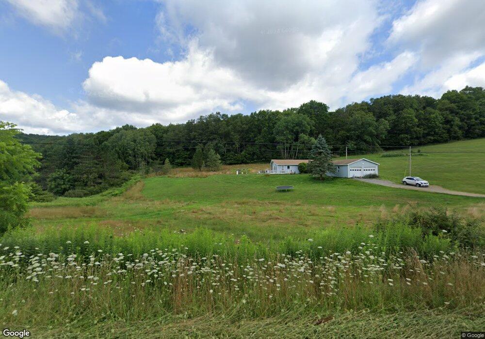
264 A Frame Rd Coudersport, PA 16915
Estimated Value: $190,818 - $215,000
3
Beds
1
Bath
1,344
Sq Ft
$152/Sq Ft
Est. Value
About This Home
This home is located at 264 A Frame Rd, Coudersport, PA 16915 and is currently estimated at $204,205, approximately $151 per square foot. 264 A Frame Rd is a home located in Potter County with nearby schools including Coudersport Area Elementary School and Coudersport Area Junior/Senior High School.
Ownership History
Date
Name
Owned For
Owner Type
Purchase Details
Closed on
Oct 24, 2025
Sold by
Sheriff Of Potter County
Bought by
M & T Bank
Current Estimated Value
Purchase Details
Closed on
Jul 6, 2021
Sold by
Smith Matthew N
Bought by
Croke Bowen
Home Financials for this Owner
Home Financials are based on the most recent Mortgage that was taken out on this home.
Original Mortgage
$162,011
Interest Rate
2.9%
Mortgage Type
FHA
Create a Home Valuation Report for This Property
The Home Valuation Report is an in-depth analysis detailing your home's value as well as a comparison with similar homes in the area
Home Values in the Area
Average Home Value in this Area
Purchase History
| Date | Buyer | Sale Price | Title Company |
|---|---|---|---|
| M & T Bank | $107,310 | None Listed On Document | |
| Croke Bowen | $165,000 | Cornerstone Abstract & Setmn |
Source: Public Records
Mortgage History
| Date | Status | Borrower | Loan Amount |
|---|---|---|---|
| Previous Owner | Croke Bowen | $162,011 |
Source: Public Records
Tax History Compared to Growth
Tax History
| Year | Tax Paid | Tax Assessment Tax Assessment Total Assessment is a certain percentage of the fair market value that is determined by local assessors to be the total taxable value of land and additions on the property. | Land | Improvement |
|---|---|---|---|---|
| 2025 | $2,139 | $28,580 | $3,720 | $24,860 |
| 2024 | $1,982 | $28,580 | $3,720 | $24,860 |
| 2023 | $1,925 | $28,580 | $3,720 | $24,860 |
| 2022 | $1,882 | $28,580 | $3,720 | $24,860 |
| 2021 | $1,882 | $28,580 | $3,720 | $24,860 |
| 2020 | $1,882 | $28,580 | $3,720 | $24,860 |
| 2019 | $1,882 | $28,580 | $3,720 | $24,860 |
| 2018 | $1,853 | $28,580 | $3,720 | $24,860 |
| 2017 | -- | $28,580 | $3,720 | $24,860 |
| 2016 | $1,825 | $28,580 | $3,720 | $24,860 |
| 2015 | -- | $28,580 | $3,720 | $24,860 |
| 2012 | -- | $28,580 | $3,720 | $24,860 |
Source: Public Records
Map
Nearby Homes
- 1060 Brookland Rd
- 00 Brookland Rd
- 1070
- 1060 Brookland Road (Lot C)
- 130 Cherry Springs Rd
- 151 Ice Mine Rd
- 230 Howards Dr
- 860 Cherry Springs Rd
- 00 Buffalo St
- Lot 4 Crandall St
- 170 Sunrise Ridge Rd
- 514 Kidney Rd
- 32 Phoebe Ln
- 15 Troupe Rd
- 478 E 2nd St
- 1574 N Ayers Hill Rd
- 313 N Brookland Rd
- 313 N Brookland Rd N
- 787 Us Highway 6
- 0 N Brookland Rd Unit 31722991
- 173 A-Frame Rd
- 173 A Frame Rd
- 172 Mountain Top Rd
- 175 A Frame Rd
- 183 A Frame Rd
- 182 Mountain Top Rd
- 0 A Frame Rd Unit 119617
- 600 Melglen Ln
- 514 Melglen Ln
- 524 Melglen Ln
- 700 Irish Farm Rd
- 491 S Dry Run Rd
- 207 A Frame Rd
- 88 Ferd's Rd
- 607 Irish Farm Rd
- 88 Ferds Dr
- 209 A Frame Rd
- 183 Ferds Rd
- 139 Skytop Rd
- 74 Ferds Rd