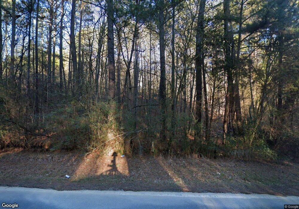
264 Branch Rd Cedartown, GA 30125
Estimated Value: $156,740 - $198,000
2
Beds
1
Bath
972
Sq Ft
$179/Sq Ft
Est. Value
About This Home
This home is located at 264 Branch Rd, Cedartown, GA 30125 and is currently estimated at $173,935, approximately $178 per square foot. 264 Branch Rd is a home located in Polk County with nearby schools including Cedar Christian School.
Ownership History
Date
Name
Owned For
Owner Type
Purchase Details
Closed on
Sep 22, 2000
Sold by
Perry Mark Anthony Alice Powell and Perry Linda
Bought by
Lewis Clyde William Ann J Lewis
Current Estimated Value
Purchase Details
Closed on
Aug 21, 1991
Sold by
Perry Linda
Bought by
Perry Mark A
Purchase Details
Closed on
Feb 8, 1990
Sold by
Powell Wayne and Powell Alice
Bought by
Perry Mark and Perry Linda
Purchase Details
Closed on
Mar 17, 1987
Sold by
Powell Wayne L
Bought by
Powell Alice
Purchase Details
Closed on
Mar 16, 1987
Sold by
Lewis Clinton
Bought by
Powell Wayne L
Purchase Details
Closed on
Apr 18, 1973
Sold by
Powell Charles V
Bought by
Lewis Clinton
Purchase Details
Closed on
Mar 8, 1973
Sold by
Powell Chesley
Bought by
Powell Charles V
Purchase Details
Closed on
Oct 19, 1961
Bought by
Powell Chesley
Purchase Details
Closed on
May 22, 1961
Bought by
Powell Chesley
Purchase Details
Closed on
May 1, 1961
Bought by
Powell Chesley
Create a Home Valuation Report for This Property
The Home Valuation Report is an in-depth analysis detailing your home's value as well as a comparison with similar homes in the area
Home Values in the Area
Average Home Value in this Area
Purchase History
| Date | Buyer | Sale Price | Title Company |
|---|---|---|---|
| Lewis Clyde William Ann J Lewis | $163,000 | -- | |
| Perry Mark A | -- | -- | |
| Perry A Mark | -- | -- | |
| Perry Mark | -- | -- | |
| Powell Wayne L | -- | -- | |
| Powell Alice | -- | -- | |
| Powell Wayne L | $50,400 | -- | |
| Lewis Clinton | -- | -- | |
| Powell Charles V | -- | -- | |
| Powell Chesley | -- | -- | |
| Powell Chesley | -- | -- | |
| Powell Chesley | -- | -- |
Source: Public Records
Tax History Compared to Growth
Tax History
| Year | Tax Paid | Tax Assessment Tax Assessment Total Assessment is a certain percentage of the fair market value that is determined by local assessors to be the total taxable value of land and additions on the property. | Land | Improvement |
|---|---|---|---|---|
| 2024 | $927 | $44,368 | $3,790 | $40,578 |
| 2023 | $686 | $28,912 | $3,790 | $25,122 |
| 2022 | $564 | $23,784 | $2,526 | $21,258 |
| 2021 | $572 | $23,784 | $2,526 | $21,258 |
| 2020 | $573 | $23,784 | $2,526 | $21,258 |
| 2019 | $553 | $20,605 | $2,526 | $18,079 |
| 2018 | $551 | $19,990 | $2,526 | $17,464 |
| 2017 | $544 | $19,990 | $2,526 | $17,464 |
| 2016 | $563 | $20,674 | $3,210 | $17,464 |
| 2015 | $427 | $17,661 | $3,210 | $14,450 |
| 2014 | $431 | $17,661 | $3,210 | $14,450 |
Source: Public Records
Map
Nearby Homes
- 0 Akes Station Rd Unit 25208781
- 0 Akes Station Rd Unit 25208783
- 0 Akes Station Rd Unit 25208784
- 0 Akes Station Rd Unit 25208785
- 0 Akes Station Rd Unit 25208782
- 1806 Piedmont Hwy
- 1810 Piedmont Hwy
- 2776 Piedmont Hwy
- 35 Harris Loop
- 00 Cornelius Rd
- 966 Judkin Mill Rd
- 0 Judkin Mill Rd Unit LotWP001 19369404
- 0 Brewster Field Rd Unit 10623054
- 0 Brewster Field Rd Unit 7664244
- 745 Brewster Field Rd
- 1849 Prior Station Rd Unit 77.57 ACRES
- 1849 Prior Station Rd
- 1789 Johnson Lake Rd
- TR 3 Culp Lake Rd
- TR 2 Culp Lake Rd
