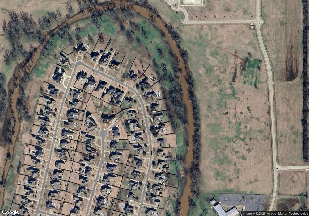
264 Cattail Trail Benton, LA 71006
Dukedale-Vanceville NeighborhoodEstimated Value: $426,000 - $640,000
5
Beds
3
Baths
3,212
Sq Ft
$175/Sq Ft
Est. Value
About This Home
This home is located at 264 Cattail Trail, Benton, LA 71006 and is currently estimated at $561,897, approximately $174 per square foot. 264 Cattail Trail is a home with nearby schools including Kingston Elementary School, Benton Middle School, and Benton High School.
Ownership History
Date
Name
Owned For
Owner Type
Purchase Details
Closed on
Jul 23, 2009
Sold by
Pither Jeremy Nicholas and Vasko Mary Pamela
Bought by
Horton Keith Allen and Horton Karla Marie Boudreaux
Current Estimated Value
Home Financials for this Owner
Home Financials are based on the most recent Mortgage that was taken out on this home.
Original Mortgage
$41,800
Interest Rate
5.71%
Mortgage Type
Unknown
Purchase Details
Closed on
Nov 29, 2006
Sold by
Dennie Robert William and Dennie Kelly Baird
Bought by
Pither Jeremy Nicholas and Pither Mary Pam
Purchase Details
Closed on
Mar 9, 2005
Sold by
Total Properties Inc
Bought by
Dennie Ii Robert William and Dennie Kelly Baird
Home Financials for this Owner
Home Financials are based on the most recent Mortgage that was taken out on this home.
Original Mortgage
$49,859
Interest Rate
5.71%
Mortgage Type
Unknown
Create a Home Valuation Report for This Property
The Home Valuation Report is an in-depth analysis detailing your home's value as well as a comparison with similar homes in the area
Home Values in the Area
Average Home Value in this Area
Purchase History
| Date | Buyer | Sale Price | Title Company |
|---|---|---|---|
| Horton Keith Allen | $54,000 | None Available | |
| Pither Jeremy Nicholas | $54,000 | None Available | |
| Dennie Ii Robert William | $54,900 | None Available |
Source: Public Records
Mortgage History
| Date | Status | Borrower | Loan Amount |
|---|---|---|---|
| Closed | Horton Keith Allen | $41,800 | |
| Previous Owner | Dennie Ii Robert William | $49,859 |
Source: Public Records
Tax History Compared to Growth
Tax History
| Year | Tax Paid | Tax Assessment Tax Assessment Total Assessment is a certain percentage of the fair market value that is determined by local assessors to be the total taxable value of land and additions on the property. | Land | Improvement |
|---|---|---|---|---|
| 2024 | $5,686 | $53,256 | $9,000 | $44,256 |
| 2023 | $4,922 | $44,766 | $7,000 | $37,766 |
| 2022 | $4,897 | $44,766 | $7,000 | $37,766 |
| 2021 | $4,823 | $44,766 | $7,000 | $37,766 |
| 2020 | $4,823 | $44,766 | $7,000 | $37,766 |
| 2019 | $4,790 | $44,040 | $5,500 | $38,540 |
| 2018 | $4,790 | $44,040 | $5,500 | $38,540 |
| 2017 | $4,734 | $44,040 | $5,500 | $38,540 |
| 2016 | $4,734 | $44,040 | $5,500 | $38,540 |
| 2015 | $4,450 | $43,870 | $5,500 | $38,370 |
| 2014 | $4,445 | $43,870 | $5,500 | $38,370 |
Source: Public Records
Map
Nearby Homes
- 315 Tanyard
- 221 Cattail Trail
- 603 Stowe Cir
- 159 Jamestowne Blvd
- 207 Jamestowne Blvd
- 206 Jamestowne Blvd
- 502 Hempstead Cir
- 400 Halifax Cir
- 425 Kingston Rd
- 307 Newport Ln
- 311 Magazine Ct
- 4704 Taldon Ln
- 4016 Elizabeth Ln
- 319 Newport Ln
- 306 Plum Orchard Ln
- 214 Roanoke Cir
- 788 Dumaine Dr
- 323 Newport Ln
- 216 Roanoke Cir
- 217 Roanoke Cir
- 262 Cattail Trail
- 266 Cattail Trail
- 263 Cattail Trail
- 260 Cattail Trail
- 267 Cattail Trail
- 268 Cattail Trail
- 261 Cattail Trail
- 259 Cattail Trail
- 258 Cattail Trail
- 269 Cattail Trail
- 344 Tanyard Trace
- 257 Cattail Trail
- 271 Cattail Trail
- 256 Cattail Trail
- 346 Tanyard Trace
- 342 Tanyard Trace
- 270 Cattail Trail
- 274 Cattail Trail
- 253 Cattail Trail
- 254 Cattail Trail
