Estimated Value: $476,948 - $512,000
3
Beds
1
Bath
1,200
Sq Ft
$417/Sq Ft
Est. Value
About This Home
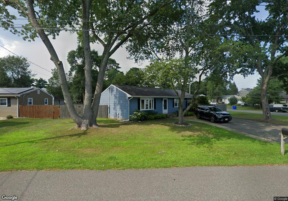
This home is located at 264 Emerald Dr, Brick, NJ 08723 and is currently estimated at $500,987, approximately $417 per square foot. 264 Emerald Dr is a home located in Ocean County with nearby schools including Drum Point Road Elementary School, Lake Riviera Middle School, and Brick Township High School.
Ownership History
Date
Name
Owned For
Owner Type
Purchase Details
Closed on
Sep 29, 2011
Sold by
Danko Corey J and Danko April A
Bought by
Mccaig Brendan and Connell Susan L
Current Estimated Value
Home Financials for this Owner
Home Financials are based on the most recent Mortgage that was taken out on this home.
Original Mortgage
$190,000
Outstanding Balance
$129,899
Interest Rate
4.15%
Mortgage Type
New Conventional
Estimated Equity
$371,088
Purchase Details
Closed on
May 28, 2004
Sold by
Sullivan James and Sullivan Catherine
Bought by
Danko Corey J and Emmert April A
Home Financials for this Owner
Home Financials are based on the most recent Mortgage that was taken out on this home.
Original Mortgage
$48,980
Interest Rate
6.12%
Mortgage Type
Credit Line Revolving
Create a Home Valuation Report for This Property
The Home Valuation Report is an in-depth analysis detailing your home's value as well as a comparison with similar homes in the area
Home Values in the Area
Average Home Value in this Area
Purchase History
| Date | Buyer | Sale Price | Title Company |
|---|---|---|---|
| Mccaig Brendan | $200,000 | None Available | |
| Danko Corey J | $244,900 | Fidelity National Title Insu |
Source: Public Records
Mortgage History
| Date | Status | Borrower | Loan Amount |
|---|---|---|---|
| Open | Mccaig Brendan | $190,000 | |
| Previous Owner | Danko Corey J | $48,980 | |
| Previous Owner | Danko Corey J | $195,920 |
Source: Public Records
Tax History
| Year | Tax Paid | Tax Assessment Tax Assessment Total Assessment is a certain percentage of the fair market value that is determined by local assessors to be the total taxable value of land and additions on the property. | Land | Improvement |
|---|---|---|---|---|
| 2025 | $5,910 | $228,800 | $135,700 | $93,100 |
| 2024 | $5,617 | $228,800 | $135,700 | $93,100 |
Source: Public Records
Map
Nearby Homes
- 267 Emerald Dr
- 301 Florida Ct
- 309 Birch Bark Dr
- 319 Wisteria Dr
- 19 Goldenedge Way
- 829F Balmoral Ct
- 130 Courtshire Dr
- 294 Delaware Dr
- 12 Lance Dr
- 931 Thornhill Ct Unit C
- 19 Crown Cir
- 812A Dumbarton Dr
- 249 Essex Dr
- 42 Buttonwood Ct
- 839A Inverness Ct
- 840C Inverness Ct Unit C
- 179 Courtshire Dr
- 41 Greylawn Dr Unit 71B
- 833B Inverness Ct Unit B
- 73 Jean St Unit 3
Your Personal Tour Guide
Ask me questions while you tour the home.