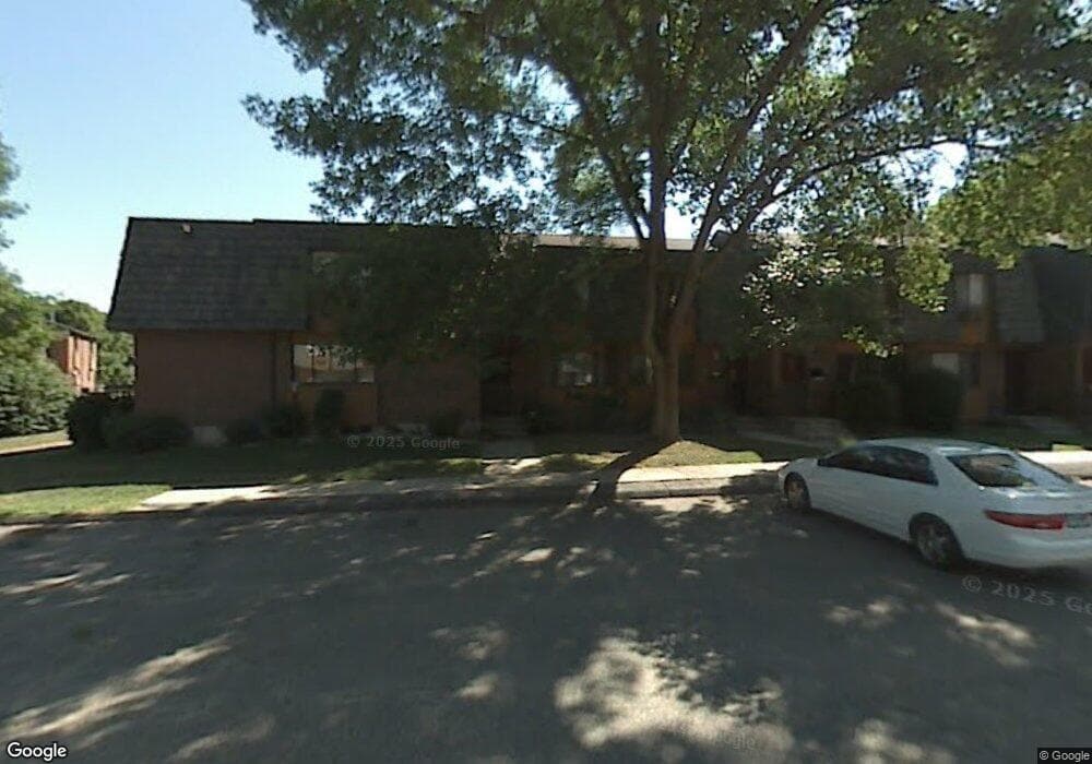
264 High Path Rd Windsor, CT 06095
West Windsor NeighborhoodEstimated Value: $179,000 - $199,642
2
Beds
3
Baths
1,020
Sq Ft
$184/Sq Ft
Est. Value
About This Home
This home is located at 264 High Path Rd, Windsor, CT 06095 and is currently estimated at $187,411, approximately $183 per square foot. 264 High Path Rd is a home located in Hartford County with nearby schools including Oliver Ellsworth School, John F. Kennedy School, and Sage Park Middle School.
Ownership History
Date
Name
Owned For
Owner Type
Purchase Details
Closed on
Aug 31, 2017
Sold by
Sarac Sacit
Bought by
Colon Lynette
Current Estimated Value
Purchase Details
Closed on
Mar 17, 2017
Sold by
Department Of Housing & Urban Dev
Bought by
Sarac Sacit
Purchase Details
Closed on
Sep 3, 1999
Sold by
Witherspoon Mia
Bought by
Mack Carlton H
Create a Home Valuation Report for This Property
The Home Valuation Report is an in-depth analysis detailing your home's value as well as a comparison with similar homes in the area
Home Values in the Area
Average Home Value in this Area
Purchase History
| Date | Buyer | Sale Price | Title Company |
|---|---|---|---|
| Colon Lynette | $92,700 | -- | |
| Sarac Sacit | $65,000 | -- | |
| Mack Carlton H | $45,000 | -- |
Source: Public Records
Mortgage History
| Date | Status | Borrower | Loan Amount |
|---|---|---|---|
| Previous Owner | Mack Carlton H | $117,308 | |
| Previous Owner | Mack Carlton H | $116,758 |
Source: Public Records
Tax History
| Year | Tax Paid | Tax Assessment Tax Assessment Total Assessment is a certain percentage of the fair market value that is determined by local assessors to be the total taxable value of land and additions on the property. | Land | Improvement |
|---|---|---|---|---|
| 2025 | $2,607 | $91,630 | $0 | $91,630 |
| 2024 | $2,778 | $91,630 | $0 | $91,630 |
| 2023 | $2,002 | $59,570 | $0 | $59,570 |
| 2022 | $1,982 | $59,570 | $0 | $59,570 |
| 2021 | $1,982 | $59,570 | $0 | $59,570 |
| 2020 | $1,972 | $59,570 | $0 | $59,570 |
| 2019 | $1,929 | $59,570 | $0 | $59,570 |
| 2018 | $1,280 | $38,850 | $0 | $38,850 |
| 2017 | $1,256 | $38,710 | $0 | $38,710 |
| 2016 | $1,220 | $38,710 | $0 | $38,710 |
| 2015 | $1,197 | $38,710 | $0 | $38,710 |
| 2014 | $1,179 | $38,710 | $0 | $38,710 |
Source: Public Records
Map
Nearby Homes
- 268 High Path Rd Unit 268
- 943 High Path Rd Unit 943
- 136 High Path Rd
- 98 High Path Rd
- 485 River St
- 22 Eastview Dr
- 105 Sunrise Cir
- 1 Deanne Lynn Cir
- 957 Palisado Ave
- 490 Old Day Hill Rd
- 24 Mary Catherine Cir
- 35 Hollow Brook Rd
- 24 MacKtown Rd
- 58 Hollow Brook Rd
- 1333 Palisado Ave
- 109 Old Village Cir
- 5 Haskins Rd Unit 5
- 32 Walnut Cir
- 10 Cleary Ln
- 24 Bel-Aire Cir
- 264 High Path Rd Unit 264
- 262 High Path Rd
- 262 High Path Rd Unit 262
- 260 High Path Rd
- 260 High Path Rd Unit 260
- 268 High Path Rd
- 258 High Path Rd
- 258 High Path Rd Unit 258
- 256 High Path Rd
- 296 High Path Rd
- 254 High Path Rd
- 298 High Path Rd
- 298 High Path Rd Unit 298
- 294 High Path Rd
- 294 High Path Rd Unit 294
- 294 High Path Rd Unit 294
- 292 High Path Rd
- 302 High Path Rd
- 290 High Path Rd
- 288 High Path Rd
Your Personal Tour Guide
Ask me questions while you tour the home.