264 Island Pointe Dr Medford, OR 97504
Rogue Valley NeighborhoodEstimated Value: $1,187,000 - $1,342,000
4
Beds
4
Baths
3,904
Sq Ft
$320/Sq Ft
Est. Value
About This Home
This home is located at 264 Island Pointe Dr, Medford, OR 97504 and is currently estimated at $1,251,118, approximately $320 per square foot. 264 Island Pointe Dr is a home located in Jackson County with nearby schools including Hoover Elementary School, Hedrick Middle School, and South Medford High School.
Ownership History
Date
Name
Owned For
Owner Type
Purchase Details
Closed on
Apr 22, 2002
Sold by
Duke John A and John A Duke Trust
Bought by
Nuss Michael D and Nuss Kelly M
Current Estimated Value
Home Financials for this Owner
Home Financials are based on the most recent Mortgage that was taken out on this home.
Original Mortgage
$104,300
Interest Rate
6.87%
Mortgage Type
Credit Line Revolving
Create a Home Valuation Report for This Property
The Home Valuation Report is an in-depth analysis detailing your home's value as well as a comparison with similar homes in the area
Home Values in the Area
Average Home Value in this Area
Purchase History
| Date | Buyer | Sale Price | Title Company |
|---|---|---|---|
| Nuss Michael D | $149,000 | Jackson County Title |
Source: Public Records
Mortgage History
| Date | Status | Borrower | Loan Amount |
|---|---|---|---|
| Closed | Nuss Michael D | $104,300 |
Source: Public Records
Tax History Compared to Growth
Tax History
| Year | Tax Paid | Tax Assessment Tax Assessment Total Assessment is a certain percentage of the fair market value that is determined by local assessors to be the total taxable value of land and additions on the property. | Land | Improvement |
|---|---|---|---|---|
| 2025 | $14,779 | $1,019,060 | $319,020 | $700,040 |
| 2024 | $14,779 | $989,380 | $309,730 | $679,650 |
| 2023 | $14,326 | $960,570 | $300,710 | $659,860 |
| 2022 | $13,977 | $960,570 | $300,710 | $659,860 |
| 2021 | $13,615 | $932,600 | $291,950 | $640,650 |
| 2020 | $13,327 | $905,440 | $283,450 | $621,990 |
| 2019 | $13,012 | $853,470 | $267,180 | $586,290 |
| 2018 | $12,678 | $828,620 | $259,390 | $569,230 |
| 2017 | $12,450 | $828,620 | $259,390 | $569,230 |
| 2016 | $12,531 | $781,060 | $244,500 | $536,560 |
| 2015 | $12,045 | $781,060 | $244,500 | $536,560 |
| 2014 | $11,833 | $736,240 | $230,470 | $505,770 |
Source: Public Records
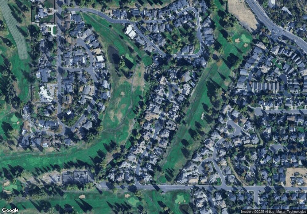
Map
Nearby Homes
- 256 Island Pointe Dr
- 250 Briarwood Ln
- 3371 Calle Vista Dr
- 3227 Chandler Egan Dr
- 3555 S Village Dr
- 521 Sterling Point Dr
- 3676 Princeton Way
- 443 Stanford Ave
- 3780 Fieldbrook Ave
- 3571 Michael Park Dr
- 3178 Century Way
- 417 Stanford Ave
- 245 Yale Dr
- 601 Summerwood Dr
- 602 Summerwood Dr
- 381 Stanford Ave
- 604 Summerwood Dr
- 560 Canterwood Dr
- 606 Summerwood Dr
- 3782 Windgate St
- 272 Island Pointe Dr
- 280 Island Pointe Dr
- 248 Island Pointe Dr
- 263 Island Pointe Dr
- 240 Island Pointe Dr
- 279 Island Pointe Dr
- 247 Island Pointe Dr
- 279 Island Point Rd
- 247 Island Point Rd
- 288 Island Pointe Dr
- 21 Island Pointe Dr
- 239 Island Pointe Dr
- 239 Island Point Rd
- 232 Island Pointe Dr
- 296 Island Point Rd
- 296 Island Pointe Dr
- 287 Island Pointe Dr
- 231 Island Pointe Dr
- 224 Island Pointe Dr
- 3192 Arnold Palmer Way