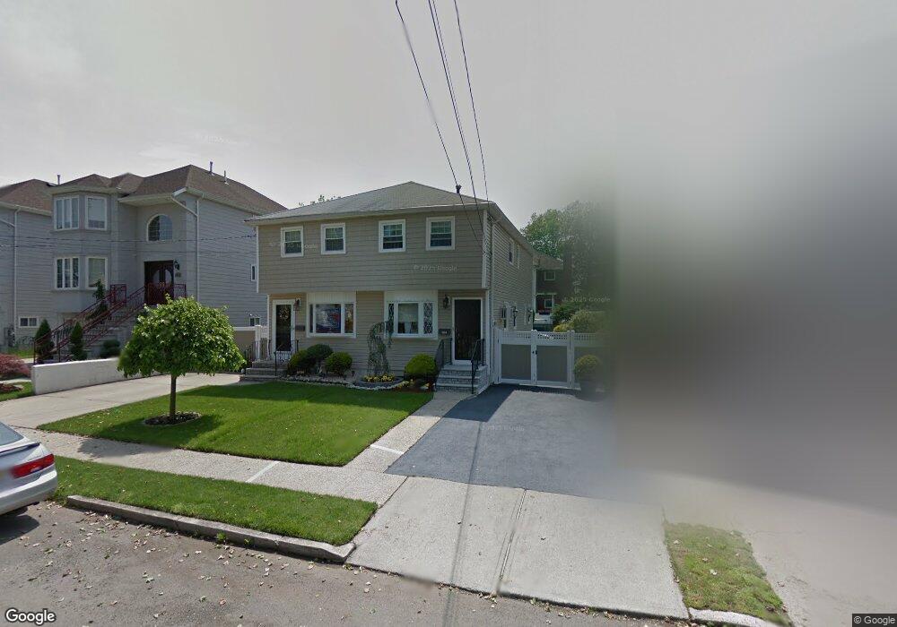
264 Lamport Blvd Staten Island, NY 10305
South Beach NeighborhoodEstimated Value: $655,911 - $754,000
3
Beds
2
Baths
1,230
Sq Ft
$573/Sq Ft
Est. Value
About This Home
This home is located at 264 Lamport Blvd, Staten Island, NY 10305 and is currently estimated at $704,978, approximately $573 per square foot. 264 Lamport Blvd is a home located in Richmond County with nearby schools including P.S. 46 Albert V Maniscalco, I.S. 49 Berta A Dreyfus, and Curtis High School.
Ownership History
Date
Name
Owned For
Owner Type
Purchase Details
Closed on
Jan 23, 2014
Sold by
Pappas Anita A and Stone Jean
Bought by
Pappas Anita A
Current Estimated Value
Purchase Details
Closed on
May 28, 1998
Sold by
Paoliello Sarah and Paoliello Peter
Bought by
Pappas Anita A and Stone Jean
Home Financials for this Owner
Home Financials are based on the most recent Mortgage that was taken out on this home.
Original Mortgage
$150,550
Outstanding Balance
$30,223
Interest Rate
7.09%
Mortgage Type
FHA
Estimated Equity
$674,755
Create a Home Valuation Report for This Property
The Home Valuation Report is an in-depth analysis detailing your home's value as well as a comparison with similar homes in the area
Home Values in the Area
Average Home Value in this Area
Purchase History
| Date | Buyer | Sale Price | Title Company |
|---|---|---|---|
| Pappas Anita A | -- | None Available | |
| Pappas Anita A | $155,000 | -- |
Source: Public Records
Mortgage History
| Date | Status | Borrower | Loan Amount |
|---|---|---|---|
| Open | Pappas Anita A | $150,550 |
Source: Public Records
Tax History Compared to Growth
Tax History
| Year | Tax Paid | Tax Assessment Tax Assessment Total Assessment is a certain percentage of the fair market value that is determined by local assessors to be the total taxable value of land and additions on the property. | Land | Improvement |
|---|---|---|---|---|
| 2025 | $5,293 | $37,440 | $6,039 | $31,401 |
| 2024 | $5,293 | $38,100 | $5,934 | $32,166 |
| 2023 | $3,948 | $26,153 | $6,244 | $19,909 |
| 2022 | $3,275 | $29,220 | $8,580 | $20,640 |
| 2021 | $4,596 | $26,640 | $8,580 | $18,060 |
| 2020 | $2,989 | $26,220 | $8,580 | $17,640 |
| 2019 | $4,301 | $27,240 | $8,580 | $18,660 |
| 2018 | $4,145 | $21,794 | $6,645 | $15,149 |
| 2017 | $3,892 | $20,561 | $7,861 | $12,700 |
| 2016 | $3,568 | $19,398 | $7,925 | $11,473 |
| 2015 | $3,207 | $18,300 | $7,140 | $11,160 |
| 2014 | $3,207 | $18,300 | $7,140 | $11,160 |
Source: Public Records
Map
Nearby Homes
- 182 Olympia Blvd
- 11 Lava St
- 236 Mallory Ave
- 40 Mclaughlin St
- 62 Mclaughlin St
- 49 Mclaughlin St
- 200 Mallory Ave
- 166 Jerome Ave
- 220 Norway Ave
- 504 Mcclean Ave
- 84 Winfield St
- 53 Andrews St
- 104 Winfield St
- 116 Bionia Ave
- 12 Reid Ave
- 150 Linwood Ave
- 71 Cameron Ave
- 109 Jerome Ave
- 55 Lansing St
- 46 Olympia Blvd
- 268 Lamport Blvd
- 202 Foch Ave
- 210 Foch Ave
- 271 Mallory Ave Unit 1f
- 271 Mallory Ave Unit 2f
- 271 Mallory Ave
- 272 Lamport Blvd
- 214 Foch Ave
- 279 Mallory Ave
- 276 Lamport Blvd
- 263 Mallory Ave
- 259 Lamport Blvd
- 257 Lamport Blvd
- 263 Lamport Blvd
- 281 Mallory Ave
- 253 Lamport Blvd
- 251 Lamport Blvd
- 280 Lamport Blvd
- 273 Lamport Blvd
- 287 Mallory Ave