264 Maxatawny Dr Pocono Lake, PA 18347
Estimated Value: $213,000 - $254,254
2
Beds
1
Bath
747
Sq Ft
$316/Sq Ft
Est. Value
About This Home
This home is located at 264 Maxatawny Dr, Pocono Lake, PA 18347 and is currently estimated at $236,064, approximately $316 per square foot. 264 Maxatawny Dr is a home located in Monroe County with nearby schools including Tobyhanna Elementary Center, Clear Run Intermediate School, and Pocono Mountain West Junior High School.
Ownership History
Date
Name
Owned For
Owner Type
Purchase Details
Closed on
Feb 23, 2021
Sold by
Martin Frederick and Martin Dawn L
Bought by
Klass Ralph H and Klass Alana M
Current Estimated Value
Home Financials for this Owner
Home Financials are based on the most recent Mortgage that was taken out on this home.
Original Mortgage
$100,000
Outstanding Balance
$74,122
Interest Rate
2.7%
Mortgage Type
New Conventional
Estimated Equity
$161,942
Purchase Details
Closed on
Apr 25, 2006
Sold by
Dandurand Alfred J and Pinchah Dandurand Carol N
Bought by
Martin Frederick and Martin Dawn C
Home Financials for this Owner
Home Financials are based on the most recent Mortgage that was taken out on this home.
Original Mortgage
$103,920
Interest Rate
6.34%
Mortgage Type
New Conventional
Create a Home Valuation Report for This Property
The Home Valuation Report is an in-depth analysis detailing your home's value as well as a comparison with similar homes in the area
Home Values in the Area
Average Home Value in this Area
Purchase History
| Date | Buyer | Sale Price | Title Company |
|---|---|---|---|
| Klass Ralph H | $139,900 | Willow Settlement Svcs Inc | |
| Martin Frederick | $129,900 | Gateway Abstract |
Source: Public Records
Mortgage History
| Date | Status | Borrower | Loan Amount |
|---|---|---|---|
| Open | Klass Ralph H | $100,000 | |
| Previous Owner | Martin Frederick | $103,920 |
Source: Public Records
Tax History Compared to Growth
Tax History
| Year | Tax Paid | Tax Assessment Tax Assessment Total Assessment is a certain percentage of the fair market value that is determined by local assessors to be the total taxable value of land and additions on the property. | Land | Improvement |
|---|---|---|---|---|
| 2025 | $938 | $96,130 | $18,150 | $77,980 |
| 2024 | $801 | $96,130 | $18,150 | $77,980 |
| 2023 | $2,564 | $96,130 | $18,150 | $77,980 |
| 2022 | $1,633 | $62,320 | $18,150 | $44,170 |
| 2021 | $1,633 | $62,320 | $18,150 | $44,170 |
| 2019 | $2,035 | $11,880 | $2,250 | $9,630 |
| 2018 | $2,035 | $11,880 | $2,250 | $9,630 |
| 2017 | $2,059 | $11,880 | $2,250 | $9,630 |
| 2016 | $440 | $11,880 | $2,250 | $9,630 |
| 2015 | $1,679 | $11,880 | $2,250 | $9,630 |
| 2014 | $1,679 | $11,880 | $2,250 | $9,630 |
Source: Public Records
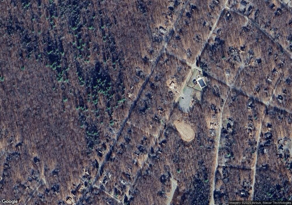
Map
Nearby Homes
- 537 Maxatawny Dr
- 535 Maxatawny Dr
- 301 Maxatawny Dr
- 229 Wyomissing Dr
- 11 Wyalusing Ct
- 158 Choctaw Dr
- 419 Quaker Ct
- 206 Maxatawny Dr
- 273 Depuy Dr
- 0 Choctaw Dr 1
- 223 Croasdale Ct
- 346 Maxatawny Dr
- 5359 Conoquenissing Dr
- 5345 Conoquenissing Dr
- 7148 Winnebago Dr
- 272 Wyalusing Dr
- 0 Pontiac Path Lot 34
- 209 Croasdale Ct
- 1155 Shasta Dr
- 7157 Winnebago Dr
- 260 Maxatawny Dr
- 20-1909-19 Maxatawny Dr
- 11-1910-19 Maxatawny Dr
- 6-2012-20 Maxatawny Dr
- 7-2111-21 Maxatawny Dr
- 17-2104-21 Maxatawny Dr
- Lot 33 Maxatawny Dr
- 396 Maxatawny Dr
- 59 Maxatawny Dr
- 24 Maxatawny Dr
- 30/1909/19 Maxatawny Dr
- 49 Maxatawny Dr
- 31/1909/19 Maxatawny Dr
- 65 Maxatawny Dr
- LOT 4 Maxatawny Dr
- 2102 Maxatawny Dr
- 20 & 21 Maxatawny Dr
- 15 Maxatawny Dr
- 5&6-2012-2 Maxatawny Dr
- Lot 8 Maxatawny Dr