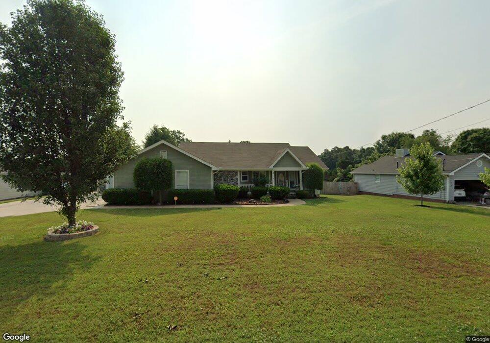
264 Misty Ridge Ln Ringgold, GA 30736
Estimated Value: $292,682 - $325,000
--
Bed
2
Baths
1,471
Sq Ft
$213/Sq Ft
Est. Value
About This Home
This home is located at 264 Misty Ridge Ln, Ringgold, GA 30736 and is currently estimated at $313,921, approximately $213 per square foot. 264 Misty Ridge Ln is a home located in Catoosa County with nearby schools including Ringgold Primary School, Ringgold Elementary School, and Heritage Middle School.
Ownership History
Date
Name
Owned For
Owner Type
Purchase Details
Closed on
Aug 5, 2010
Sold by
Gowan Connie L
Bought by
Francis Robert Michael
Current Estimated Value
Home Financials for this Owner
Home Financials are based on the most recent Mortgage that was taken out on this home.
Original Mortgage
$157,874
Outstanding Balance
$105,473
Interest Rate
4.75%
Mortgage Type
FHA
Estimated Equity
$208,448
Purchase Details
Closed on
Aug 16, 2007
Sold by
Gowan Robert M
Bought by
Gowan Connie L
Purchase Details
Closed on
Jul 10, 1992
Bought by
Gowan Robert M
Create a Home Valuation Report for This Property
The Home Valuation Report is an in-depth analysis detailing your home's value as well as a comparison with similar homes in the area
Home Values in the Area
Average Home Value in this Area
Purchase History
| Date | Buyer | Sale Price | Title Company |
|---|---|---|---|
| Francis Robert Michael | $160,000 | -- | |
| Gowan Connie L | -- | -- | |
| Gowan Robert M | $73,900 | -- |
Source: Public Records
Mortgage History
| Date | Status | Borrower | Loan Amount |
|---|---|---|---|
| Open | Francis Robert Michael | $157,874 |
Source: Public Records
Tax History Compared to Growth
Tax History
| Year | Tax Paid | Tax Assessment Tax Assessment Total Assessment is a certain percentage of the fair market value that is determined by local assessors to be the total taxable value of land and additions on the property. | Land | Improvement |
|---|---|---|---|---|
| 2024 | $2,378 | $111,493 | $14,000 | $97,493 |
| 2023 | $2,040 | $91,121 | $14,000 | $77,121 |
| 2022 | $1,606 | $71,719 | $14,000 | $57,719 |
| 2021 | $1,501 | $71,719 | $14,000 | $57,719 |
| 2020 | $1,416 | $61,192 | $12,000 | $49,192 |
| 2019 | $1,384 | $59,192 | $10,000 | $49,192 |
| 2018 | $1,462 | $59,192 | $10,000 | $49,192 |
| 2017 | $1,437 | $58,168 | $10,000 | $48,168 |
| 2016 | $1,438 | $55,332 | $10,000 | $45,332 |
| 2015 | -- | $55,332 | $10,000 | $45,332 |
| 2014 | -- | $55,332 | $10,000 | $45,332 |
| 2013 | -- | $55,332 | $10,000 | $45,332 |
Source: Public Records
Map
Nearby Homes
- 56 Ginger Dr
- 478 Dedmon Rd
- 555 Dedmon Rd
- 477 Hulsey Dr
- 95 Night Shade Ln
- 1400 Poplar Springs Rd
- 1467 Holcomb Rd
- 81 Shrader Ln
- 59 Willowbrook Dr
- 633 Poplar Springs Rd
- 133 Wood Meadow Trail
- 151 Peachtree Cir
- 405 Southern Dr
- 275 Southern Dr
- 341 Peachtree Cir
- 184 Peachtree Cir
- 45 Asheville Dr
- 300 Marion Dr
- 40 Harden Dr
- 0 Battlefield Pkwy Unit 1521890
- 282 Misty Ridge Ln
- 282 Misty Ridge Ln Unit 54
- 244 Misty Ridge Ln
- 538 Misty Ridge Ln
- 518 Misty Ridge Ln
- 564 Misty Ridge Ln
- 267 Misty Ridge Ln
- 230 Misty Ridge Ln
- 247 Misty Ridge Ln
- 285 Misty Ridge Ln
- 500 Misty Ridge Ln
- 219 Misty Ridge Ln
- 305 Misty Ridge Ln
- 328 Misty Ridge Ln
- 210 Misty Ridge Ln
- 486 Misty Ridge Ln
- 598 Misty Ridge Ln
- 213 Misty Ridge Ln
- 230 Bent Tree Dr
- 325 Misty Ridge Ln