264 Poor Farm Rd Lyman, ME 04002
Lyman NeighborhoodEstimated Value: $411,000 - $464,000
2
Beds
1
Bath
960
Sq Ft
$449/Sq Ft
Est. Value
About This Home
This home is located at 264 Poor Farm Rd, Lyman, ME 04002 and is currently estimated at $431,161, approximately $449 per square foot. 264 Poor Farm Rd is a home with nearby schools including Massabesic High School.
Ownership History
Date
Name
Owned For
Owner Type
Purchase Details
Closed on
Aug 5, 2015
Sold by
Croteau Jane D
Bought by
Croteau Thomas M
Current Estimated Value
Home Financials for this Owner
Home Financials are based on the most recent Mortgage that was taken out on this home.
Original Mortgage
$37,000
Interest Rate
4.03%
Mortgage Type
Commercial
Create a Home Valuation Report for This Property
The Home Valuation Report is an in-depth analysis detailing your home's value as well as a comparison with similar homes in the area
Home Values in the Area
Average Home Value in this Area
Purchase History
| Date | Buyer | Sale Price | Title Company |
|---|---|---|---|
| Croteau Thomas M | -- | -- |
Source: Public Records
Mortgage History
| Date | Status | Borrower | Loan Amount |
|---|---|---|---|
| Closed | Croteau Thomas M | $37,000 |
Source: Public Records
Tax History Compared to Growth
Tax History
| Year | Tax Paid | Tax Assessment Tax Assessment Total Assessment is a certain percentage of the fair market value that is determined by local assessors to be the total taxable value of land and additions on the property. | Land | Improvement |
|---|---|---|---|---|
| 2024 | $3,531 | $280,000 | $97,000 | $183,000 |
| 2023 | $3,413 | $280,000 | $97,000 | $183,000 |
| 2022 | $3,276 | $280,000 | $97,000 | $183,000 |
| 2021 | $2,927 | $280,000 | $97,000 | $183,000 |
| 2020 | $3,064 | $310,000 | $163,000 | $147,000 |
| 2019 | $3,246 | $310,000 | $163,000 | $147,000 |
| 2018 | $2,916 | $261,000 | $135,000 | $126,000 |
| 2017 | $2,755 | $240,600 | $124,700 | $115,900 |
| 2015 | $2,983 | $240,600 | $124,700 | $115,900 |
| 2014 | -- | $240,600 | $124,700 | $115,900 |
Source: Public Records
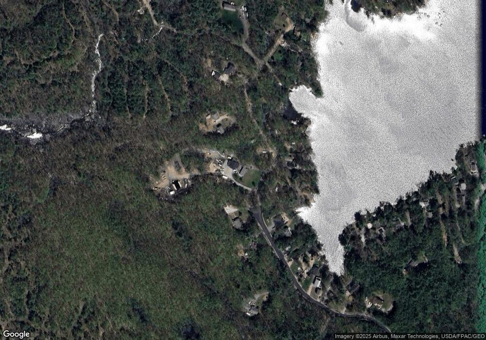
Map
Nearby Homes
- 65 Old County Rd
- 69 Oscar Littlefield Rd
- 40 Oakwood St
- 16 Marcotte Ln
- 22 White House Cove Rd
- 2252 Alfred Rd
- 19 Day Rd
- 330 Biddeford Rd
- 296 Wadleigh Pond Rd
- 87 Drown Rd
- 149 Duke Ln
- 74 Lisa Dr
- TBD Olde Farnham Rd
- 533 Kennebunk Rd
- 57 Reagan Lynn Rd
- 232 Waterboro Rd
- Lot 1 Kennebunk Rd
- 34 Cascade Cir Unit 30
- 22 Caya Ln Unit A
- 32 Conifer Dr
- 276 Poor Farm Rd
- 269 Poor Farm Rd
- 288 Poor Farm Rd
- 273 Poor Farm Rd
- 267 Poor Farm Rd
- 255 Poor Farm Rd
- 271 Poor Farm Rd
- 285 Poor Farm Rd
- 265 Poor Farm Rd
- 263 Poor Farm Rd
- 256 Poor Farm Rd
- 251 Poor Farm Rd
- 247 Poor Farm Rd
- 245 Poor Farm Rd
- TBD Poor Farm Rd
- 243 Poor Farm Rd
- 293 Poor Farm Rd
- 292 Poor Farm Rd
- 239 Poor Farm Rd
- 241 Poor Farm Rd