264 Simms Rd Carrollton, GA 30117
Estimated Value: $88,446 - $195,000
Studio
--
Bath
--
Sq Ft
516,186
Sq Ft Lot
About This Home
This home is located at 264 Simms Rd, Carrollton, GA 30117 and is currently estimated at $142,815. 264 Simms Rd is a home with nearby schools including Mt. Zion Elementary School, Mt. Zion Middle School, and Mt. Zion High School.
Ownership History
Date
Name
Owned For
Owner Type
Purchase Details
Closed on
Mar 23, 2018
Sold by
Suburban Home Sales Inc
Bought by
Bradley Ronnie
Current Estimated Value
Purchase Details
Closed on
Sep 5, 2017
Sold by
Collins Mark Lewis
Bought by
Suburban Home Sales Inc
Purchase Details
Closed on
Apr 13, 2017
Sold by
Chandler Jody
Bought by
Collins Mark Lewis
Purchase Details
Closed on
Nov 5, 2015
Sold by
Suburban Home Sales Inc
Bought by
Chandler Jody and Chandler Brandy
Purchase Details
Closed on
Apr 11, 2011
Sold by
Barber Wesley
Bought by
Suburban Home Sales Inc
Purchase Details
Closed on
Oct 18, 2000
Sold by
Suburban Home Sales
Bought by
Barber Wesley
Purchase Details
Closed on
May 2, 2000
Sold by
Rogers Robert D
Bought by
Suburban Home Sales
Purchase Details
Closed on
Sep 17, 1999
Sold by
Suburban Home Sales
Bought by
Rogers Robert D
Purchase Details
Closed on
Dec 15, 1998
Bought by
Suburban Home Sales
Create a Home Valuation Report for This Property
The Home Valuation Report is an in-depth analysis detailing your home's value as well as a comparison with similar homes in the area
Home Values in the Area
Average Home Value in this Area
Purchase History
| Date | Buyer | Sale Price | Title Company |
|---|---|---|---|
| Bradley Ronnie | $39,950 | -- | |
| Suburban Home Sales Inc | $38,344 | -- | |
| Collins Mark Lewis | $40,178 | -- | |
| Chandler Jody | $40,178 | -- | |
| Suburban Home Sales Inc | -- | -- | |
| Barber Wesley | $51,000 | -- | |
| Suburban Home Sales | -- | -- | |
| Rogers Robert D | $46,000 | -- | |
| Suburban Home Sales | -- | -- |
Source: Public Records
Tax History
| Year | Tax Paid | Tax Assessment Tax Assessment Total Assessment is a certain percentage of the fair market value that is determined by local assessors to be the total taxable value of land and additions on the property. | Land | Improvement |
|---|---|---|---|---|
| 2025 | $414 | $18,524 | $16,850 | $1,674 |
| 2024 | $419 | $18,524 | $16,850 | $1,674 |
| 2023 | $438 | $18,524 | $16,850 | $1,674 |
| 2022 | $456 | $18,200 | $16,850 | $1,350 |
| 2021 | $467 | $18,200 | $16,850 | $1,350 |
| 2020 | $458 | $17,850 | $16,850 | $1,000 |
| 2019 | $439 | $17,850 | $16,850 | $1,000 |
Source: Public Records
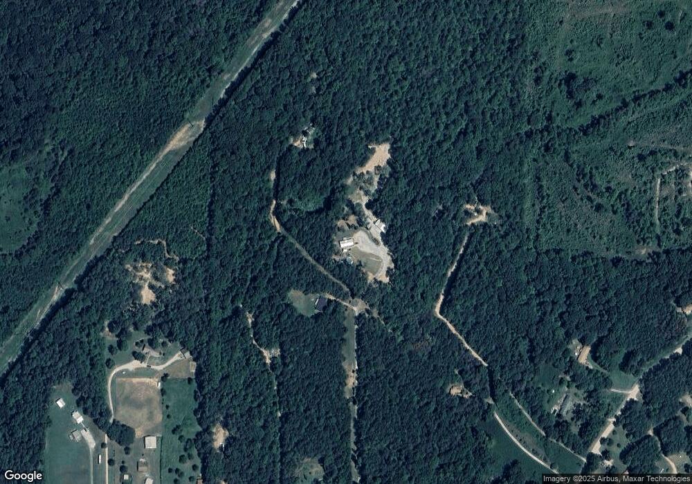
Map
Nearby Homes
- 1175 Burwell Mount Zion Rd
- 828 Harrison Rd
- 134 Robinson St
- 1405 Burwell Rd
- 35 N Robinson Dr
- 85 Eureka Church Rd Unit 152
- 140 Martin Cemetery Rd
- 128 Martin Cemetery Rd
- 120 Martin Cemetery Rd
- 5147 Georgia 166
- 5147 W Hwy 166
- Melear Rd
- 183 Madden Rd
- 46 Gammon Rd
- 213 Randall Dr
- 206 Randall Dr
- 1202 Mount Zion Rd
- 141 Anita Blvd
- 2217 Georgia 100
- 107 Red Oak Dr
- 366 Simms Rd Unit 26/27/32
- 180 Simms Rd
- 230 Simms Rd
- 190 Simms Rd
- 286 Simms Rd
- 344 Simms Rd
- 00 Simms Rd
- 170 Simms Rd
- 247 Simms Rd
- 235 Simms Rd
- 401 Simms Rd
- 259 Simms Rd
- 317 Simms Rd
- 283 Simms Rd
- 218 Delia Peace Rd
- 218 Delia Peace Rd Unit 173
- 415 Simms Rd
- 0 Simms Rd Unit 20108008
- 0 Simms Rd Unit 144019
- 0 Simms Rd Unit 10133221
Your Personal Tour Guide
Ask me questions while you tour the home.