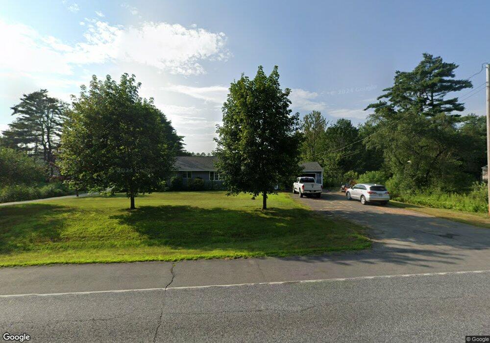
264 Skowhegan Rd Norridgewock, ME 04957
Estimated Value: $258,790 - $314,000
2
Beds
2
Baths
1,310
Sq Ft
$218/Sq Ft
Est. Value
About This Home
This home is located at 264 Skowhegan Rd, Norridgewock, ME 04957 and is currently estimated at $285,698, approximately $218 per square foot. 264 Skowhegan Rd is a home located in Somerset County with nearby schools including Overman Academy, Riverview Memorial School, and Faith Baptist Christian School.
Ownership History
Date
Name
Owned For
Owner Type
Purchase Details
Closed on
Feb 11, 2021
Sold by
Mahoney Lorraine A
Bought by
Macmichael Christopher E
Current Estimated Value
Create a Home Valuation Report for This Property
The Home Valuation Report is an in-depth analysis detailing your home's value as well as a comparison with similar homes in the area
Home Values in the Area
Average Home Value in this Area
Purchase History
| Date | Buyer | Sale Price | Title Company |
|---|---|---|---|
| Macmichael Christopher E | -- | None Available | |
| Macmichael Christopher E | -- | None Available |
Source: Public Records
Tax History Compared to Growth
Tax History
| Year | Tax Paid | Tax Assessment Tax Assessment Total Assessment is a certain percentage of the fair market value that is determined by local assessors to be the total taxable value of land and additions on the property. | Land | Improvement |
|---|---|---|---|---|
| 2024 | $2,067 | $199,700 | $59,500 | $140,200 |
| 2023 | $2,022 | $166,400 | $49,600 | $116,800 |
| 2022 | $1,754 | $150,600 | $45,000 | $105,600 |
| 2021 | $1,995 | $150,600 | $45,000 | $105,600 |
| 2020 | $4,964 | $141,800 | $36,200 | $105,600 |
| 2019 | $4,755 | $141,800 | $36,200 | $105,600 |
| 2018 | $1,914 | $141,800 | $36,200 | $105,600 |
| 2017 | $1,907 | $141,800 | $36,200 | $105,600 |
| 2016 | $1,751 | $82,600 | $14,400 | $68,200 |
| 2015 | $1,768 | $82,600 | $14,400 | $68,200 |
| 2014 | $1,755 | $82,600 | $14,400 | $68,200 |
Source: Public Records
Map
Nearby Homes
- 41 River Rd
- 12 Tempesta Way
- 11 Madison Rd
- 14 Wade St
- 27 Bigelow Hill Rd
- 0 Gilman Dr
- M28 L6-2-1 Gilman Dr
- 141 Bigelow Hill Rd
- Lot 19 Waterville Rd
- 377 Bigelow Hill Rd
- 396 Waterville Rd
- 31 Airport Rd
- 23 Pleasant Hill Dr
- Lot 50 1-7 Bigelow Hill Rd
- 66 W Front St
- 21 Pine St
- 11 Turner Ave
- 39 Pleasant St
- 17 Bennett Ave
- 573 Back Rd
- 272 Skowhegan Rd
- 254 Skowhegan Rd
- 267 Skowhegan Rd
- 262 Skowhegan Rd
- 273 Skowhegan Rd
- 247 Skowhegan Rd
- 246 Skowhegan Rd
- 290 Skowhegan Rd
- 294 Skowhegan Rd
- 245 Skowhegan Rd
- 310 Skowhegan Rd
- 271 River Rd
- 289 River Rd
- 288 River Rd
- 297 River Rd
- 258 River Rd
- 16 Wan Dr
- 317 Skowhegan Rd
- 324 Skowhegan Rd
- 319 River Rd