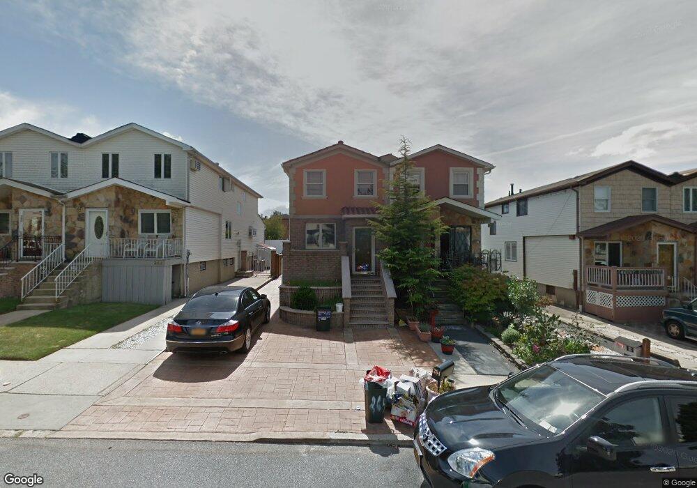
264 Travis Ave Staten Island, NY 10314
New Springville NeighborhoodEstimated Value: $673,000 - $787,000
3
Beds
4
Baths
1,362
Sq Ft
$529/Sq Ft
Est. Value
About This Home
This home is located at 264 Travis Ave, Staten Island, NY 10314 and is currently estimated at $719,887, approximately $528 per square foot. 264 Travis Ave is a home located in Richmond County with nearby schools including P.S. 69 - Daniel D. Tompkins, Is 72 Rocco Laurie, and Susan E Wagner High School.
Ownership History
Date
Name
Owned For
Owner Type
Purchase Details
Closed on
Oct 11, 2002
Sold by
Manzo Calogero and Manzo Domenica
Bought by
Vinci Manny and Vinci Nunziata
Current Estimated Value
Home Financials for this Owner
Home Financials are based on the most recent Mortgage that was taken out on this home.
Original Mortgage
$180,000
Interest Rate
6.19%
Mortgage Type
Purchase Money Mortgage
Purchase Details
Closed on
Jun 11, 1998
Sold by
Fox Phyllis
Bought by
Manzo Calogero and Manzo Domenica
Create a Home Valuation Report for This Property
The Home Valuation Report is an in-depth analysis detailing your home's value as well as a comparison with similar homes in the area
Home Values in the Area
Average Home Value in this Area
Purchase History
| Date | Buyer | Sale Price | Title Company |
|---|---|---|---|
| Vinci Manny | $210,000 | Sovereign Title Agency | |
| Manzo Calogero | $167,500 | First American Title Ins Co |
Source: Public Records
Mortgage History
| Date | Status | Borrower | Loan Amount |
|---|---|---|---|
| Previous Owner | Vinci Manny | $180,000 |
Source: Public Records
Tax History Compared to Growth
Tax History
| Year | Tax Paid | Tax Assessment Tax Assessment Total Assessment is a certain percentage of the fair market value that is determined by local assessors to be the total taxable value of land and additions on the property. | Land | Improvement |
|---|---|---|---|---|
| 2025 | $5,421 | $39,900 | $5,883 | $34,017 |
| 2024 | $5,433 | $39,240 | $5,643 | $33,597 |
| 2023 | $5,155 | $26,784 | $5,544 | $21,240 |
| 2022 | $1,822 | $32,880 | $7,800 | $25,080 |
| 2021 | $2,494 | $34,320 | $7,800 | $26,520 |
| 2020 | $1,841 | $31,680 | $7,800 | $23,880 |
| 2019 | $4,620 | $27,540 | $7,800 | $19,740 |
| 2018 | $1,977 | $22,320 | $6,267 | $16,053 |
| 2017 | $3,340 | $22,320 | $7,218 | $15,102 |
| 2016 | $1,904 | $22,151 | $6,666 | $15,485 |
| 2015 | $1,587 | $20,898 | $5,237 | $15,661 |
| 2014 | $1,587 | $19,716 | $5,931 | $13,785 |
Source: Public Records
Map
Nearby Homes
- 507 Klondike Ave
- 41 Furness Place
- 86 Evans St
- 44 McVeigh Ave
- 9 Furness Place
- 23 Bangor St
- 72 Bangor St
- 22 Braisted Ave
- 110 Lewiston St
- 343 Travis Ave
- 101 McVeigh Ave
- 45 Braisted Ave
- 107 Denker Place
- 4 Bangor St
- 81 Fraser St
- 143 Monahan Ave
- 186 Monahan Ave
- 63 Monahan Ave
- 190 Monahan Ave
- 49 Lewiston St
- 262 Travis Ave
- 266 Travis Ave
- 260 Travis Ave
- 268 Travis Ave
- 230 Travis Ave
- 270 Travis Ave
- 220 Travis Ave
- 272 Travis Ave
- 210 Travis Ave
- 274 Travis Ave
- 465 Klondike Ave
- 200 Travis Ave
- 461 Klondike Ave
- 276 Travis Ave
- 467 Klondike Ave
- 459 Klondike Ave Unit Main
- 471 Klondike Ave
- 190 Travis Ave
- 455 Klondike Ave
- 278 Travis Ave