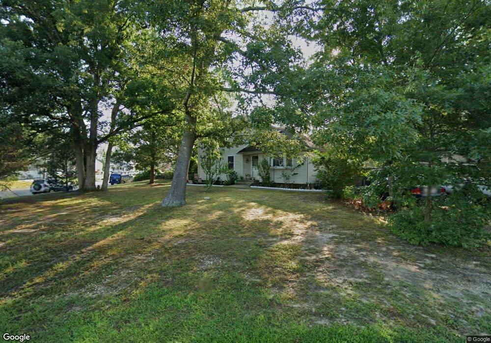
264 Wave Rd Manahawkin, NJ 08050
Stafford NeighborhoodEstimated Value: $417,679 - $527,000
4
Beds
2
Baths
1,726
Sq Ft
$286/Sq Ft
Est. Value
About This Home
This home is located at 264 Wave Rd, Manahawkin, NJ 08050 and is currently estimated at $494,170, approximately $286 per square foot. 264 Wave Rd is a home located in Ocean County with nearby schools including Ocean Acres Elementary School, Oxycocus Elementary School, and McKinley Avenue Elementary School.
Ownership History
Date
Name
Owned For
Owner Type
Purchase Details
Closed on
Jan 20, 2010
Sold by
Price Barbara
Bought by
Price Justin I and Price Denise M
Current Estimated Value
Home Financials for this Owner
Home Financials are based on the most recent Mortgage that was taken out on this home.
Original Mortgage
$223,850
Outstanding Balance
$151,883
Interest Rate
5.62%
Mortgage Type
FHA
Estimated Equity
$342,287
Purchase Details
Closed on
Jun 2, 1998
Sold by
Price Barbara and Marshall Frances
Bought by
Price Barbara and Marshall Frances
Create a Home Valuation Report for This Property
The Home Valuation Report is an in-depth analysis detailing your home's value as well as a comparison with similar homes in the area
Home Values in the Area
Average Home Value in this Area
Purchase History
| Date | Buyer | Sale Price | Title Company |
|---|---|---|---|
| Price Justin I | $260,000 | None Available | |
| Price Barbara | -- | -- |
Source: Public Records
Mortgage History
| Date | Status | Borrower | Loan Amount |
|---|---|---|---|
| Open | Price Justin I | $223,850 |
Source: Public Records
Tax History Compared to Growth
Tax History
| Year | Tax Paid | Tax Assessment Tax Assessment Total Assessment is a certain percentage of the fair market value that is determined by local assessors to be the total taxable value of land and additions on the property. | Land | Improvement |
|---|---|---|---|---|
| 2025 | $4,926 | $198,400 | $67,200 | $131,200 |
| 2024 | $4,879 | $198,400 | $67,200 | $131,200 |
| 2023 | $4,670 | $198,400 | $67,200 | $131,200 |
| 2022 | $4,670 | $198,400 | $67,200 | $131,200 |
| 2021 | $4,607 | $198,400 | $67,200 | $131,200 |
| 2020 | $4,613 | $198,400 | $67,200 | $131,200 |
| 2019 | $4,547 | $198,400 | $67,200 | $131,200 |
| 2018 | $4,520 | $198,400 | $67,200 | $131,200 |
| 2017 | $4,412 | $187,500 | $67,200 | $120,300 |
| 2016 | $4,367 | $187,500 | $67,200 | $120,300 |
| 2015 | $4,213 | $187,500 | $67,200 | $120,300 |
| 2014 | $4,156 | $182,700 | $66,400 | $116,300 |
Source: Public Records
Map
Nearby Homes
- 257 Wave Rd
- 232 Gaff Rd
- 107 Deerfield Dr
- 100 Leeward Rd
- 100 Deerfield Dr
- 2010 Breakers Dr
- 2018 Breakers Dr
- 2012 Breakers Dr
- 2014 Breakers Dr
- 2008 Breakers Dr
- 2016 Breakers Dr
- 296 Neptune Dr
- 309 Neptune Dr
- 1604, 1608, 1612 W Route 72 Hwy
- 63 Lookout Dr
- 16 Newport Rd
- 53 Lookout Dr
- 10 Hampton Rd
- 113 Toggle Rd
- 175 Barracuda Rd