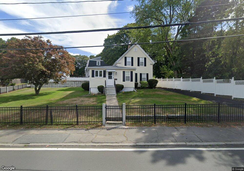
264 West St Unit R Quincy, MA 02169
Estimated Value: $590,000 - $733,000
8
Beds
3
Baths
3,500
Sq Ft
$195/Sq Ft
Est. Value
About This Home
This home is located at 264 West St Unit R, Quincy, MA 02169 and is currently estimated at $681,245, approximately $194 per square foot. 264 West St Unit R is a home located in Norfolk County with nearby schools including South West Middle School, Lincoln-Hancock Community School, and Quincy High School.
Create a Home Valuation Report for This Property
The Home Valuation Report is an in-depth analysis detailing your home's value as well as a comparison with similar homes in the area
Home Values in the Area
Average Home Value in this Area
Tax History Compared to Growth
Tax History
| Year | Tax Paid | Tax Assessment Tax Assessment Total Assessment is a certain percentage of the fair market value that is determined by local assessors to be the total taxable value of land and additions on the property. | Land | Improvement |
|---|---|---|---|---|
| 2025 | $6,902 | $598,600 | $322,200 | $276,400 |
| 2024 | $6,461 | $573,300 | $307,400 | $265,900 |
| 2023 | $6,066 | $545,000 | $293,300 | $251,700 |
| 2022 | $5,832 | $486,800 | $236,600 | $250,200 |
| 2021 | $5,560 | $458,000 | $236,600 | $221,400 |
| 2020 | $5,509 | $443,200 | $236,600 | $206,600 |
| 2019 | $5,375 | $428,300 | $230,100 | $198,200 |
| 2018 | $5,225 | $391,700 | $213,800 | $177,900 |
| 2017 | $5,223 | $368,600 | $204,100 | $164,500 |
| 2016 | $4,868 | $339,000 | $186,500 | $152,500 |
| 2015 | $4,608 | $315,600 | $176,500 | $139,100 |
| 2014 | $4,504 | $303,100 | $176,500 | $126,600 |
Source: Public Records
Map
Nearby Homes
- 63 Adele Rd
- 211 West St Unit 12B
- 52 Bunker Hill Ln
- 80 Woodcliff Rd
- 55 Station St Unit 1
- 36 Greystone St Unit 36
- 808 Willard St Unit F11
- 2 Ricciuti Dr Unit 8
- 42 West St
- 57A West St
- 28 Miller St Unit 8
- 72 Centre St Unit J
- 211 Copeland St
- 328 Copeland St Unit 3E
- 203 Centre St
- 57 Buckley St
- 145 Suomi Rd Unit C7
- 14 Arthur Ave
- 21 Totman St Unit 204
- 21 Totman St Unit 306
- 264R West St
- 264 West St
- 268 West St Unit 8
- 268 West St Unit 3
- 254 West St
- 252 West St
- 252 West St Unit 1
- 261 West St
- 257 West St
- 253 West St
- 18 Wesson Ave
- 260 West St Unit 4
- 260 West St Unit 5
- 260 West St Unit 7
- 260 West St Unit 6
- 260 West St Unit 2
- 260 West St Unit 1
- 260 West St Unit 3
- 247 West St
- 12 Wesson Ave