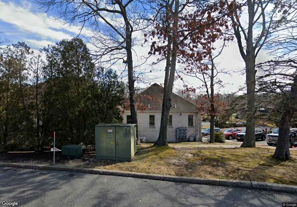
2640 Highway 70 Unit 10 B Manasquan, NJ 08736
Estimated Value: $559,023
--
Bed
--
Bath
--
Sq Ft
4.13
Acres
About This Home
This home is located at 2640 Highway 70 Unit 10 B, Manasquan, NJ 08736 and is currently estimated at $559,023. 2640 Highway 70 Unit 10 B is a home located in Monmouth County with nearby schools including Wall High School and The Brookside School.
Ownership History
Date
Name
Owned For
Owner Type
Purchase Details
Closed on
May 8, 2025
Sold by
Philip Infantolino Llc
Bought by
2640 Nj Route 70 Building 11 Llc
Current Estimated Value
Purchase Details
Closed on
Mar 20, 2021
Sold by
Noaz Golam G and Farrell Paul R
Bought by
Dawn Patrol Holdings Llc
Home Financials for this Owner
Home Financials are based on the most recent Mortgage that was taken out on this home.
Original Mortgage
$269,750
Interest Rate
3.1%
Mortgage Type
Purchase Money Mortgage
Purchase Details
Closed on
Jun 7, 2019
Sold by
Lui Melchor
Bought by
Lui Jane Go
Purchase Details
Closed on
Dec 27, 2017
Sold by
Philp Infantolino Children S Turst
Bought by
Philip Infantolino Llc
Purchase Details
Closed on
Dec 15, 2005
Sold by
Friedman Paul
Bought by
Propertie Friedman and Propertie Markowitz
Create a Home Valuation Report for This Property
The Home Valuation Report is an in-depth analysis detailing your home's value as well as a comparison with similar homes in the area
Home Values in the Area
Average Home Value in this Area
Purchase History
| Date | Buyer | Sale Price | Title Company |
|---|---|---|---|
| 2640 Nj Route 70 Building 11 Llc | $565,000 | None Listed On Document | |
| 2640 Nj Route 70 Building 11 Llc | $565,000 | None Listed On Document | |
| Dawn Patrol Holdings Llc | $325,000 | All Ahead Title Agency | |
| Dawn Patrol Holdings Llc | $325,000 | All Ahead Title | |
| Lui Jane Go | -- | None Available | |
| Philip Infantolino Llc | -- | -- | |
| Propertie Friedman | -- | -- |
Source: Public Records
Mortgage History
| Date | Status | Borrower | Loan Amount |
|---|---|---|---|
| Previous Owner | Dawn Patrol Holdings Llc | $269,750 |
Source: Public Records
Tax History Compared to Growth
Tax History
| Year | Tax Paid | Tax Assessment Tax Assessment Total Assessment is a certain percentage of the fair market value that is determined by local assessors to be the total taxable value of land and additions on the property. | Land | Improvement |
|---|---|---|---|---|
| 2025 | -- | -- | -- | -- |
| 2024 | -- | $0 | $0 | $0 |
| 2023 | -- | $0 | $0 | $0 |
| 2022 | $0 | $0 | $0 | $0 |
| 2021 | $0 | $0 | $0 | $0 |
| 2020 | $0 | $0 | $0 | $0 |
| 2019 | $0 | $0 | $0 | $0 |
| 2018 | $0 | $0 | $0 | $0 |
| 2017 | $0 | $0 | $0 | $0 |
| 2016 | $0 | $0 | $0 | $0 |
| 2015 | -- | $0 | $0 | $0 |
| 2014 | -- | $0 | $0 | $0 |
Source: Public Records
Map
Nearby Homes
- 41 Poplar Ct Unit C
- 29 Mulberry Ct Unit D
- 20 Maple Ln Unit D
- Kensington Plan at The Monmouth - The Villas 55+
- 846 William Dr
- 816 Rathjen Rd
- 2578 Collier Rd
- 651 Oceanview Rd
- 2573 Curriers Place
- 142 Oval Rd
- 642 Rankin Rd
- 664 Valley Rd
- 2575 Morningstar Rd
- 1307 W Union Ln Unit A4
- 2510 Morningstar Rd
- 2511 Morningstar Rd
- 1582 Horseshoe Dr
- 1544 Harvest Ln
- 21 N Tamarack Dr
- 907 Riverview Dr
- 2712 Old Bridge Rd
- 33 Maple Ln Unit A
- 33 Maple Ln Unit C
- 33 Maple Ln Unit D
- 33 Maple Ln Unit B
- 39 Poplar Ct Unit D
- 39 Poplar Ct Unit A
- 39 Poplar Ct Unit B
- 35 Maple Ln Unit A
- 35 Maple Ln Unit D
- 35 Maple Ln Unit C
- 35 Maple Ln Unit B
- 40 Poplar Ct Unit D
- 40 Poplar Ct Unit C
- 40 Poplar Ct Unit B
- 40 Poplar Ct Unit A
- 32 Maple Ln Unit A
- 32 Maple Ln Unit B
- 32 Maple Ln Unit D
- 32 Maple Ln Unit C