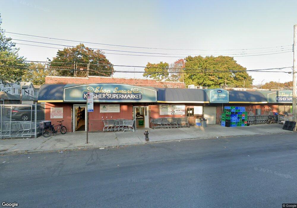
2640 Nostrand Ave Brooklyn, NY 11210
Midwood Neighborhood
--
Bed
--
Bath
10,500
Sq Ft
10,498
Sq Ft Lot
About This Home
This home is located at 2640 Nostrand Ave, Brooklyn, NY 11210. 2640 Nostrand Ave is a home located in Kings County with nearby schools including P.S. 193 Gil Hodges, Andries Hudde School, and Yeshiva Derech Hatorah.
Ownership History
Date
Name
Owned For
Owner Type
Purchase Details
Closed on
Jan 2, 2020
Sold by
Strand Realty
Bought by
Nostrand Avenue Grocery Llc
Home Financials for this Owner
Home Financials are based on the most recent Mortgage that was taken out on this home.
Original Mortgage
$2,498,000
Outstanding Balance
$2,207,082
Interest Rate
3.6%
Mortgage Type
Unknown
Create a Home Valuation Report for This Property
The Home Valuation Report is an in-depth analysis detailing your home's value as well as a comparison with similar homes in the area
Home Values in the Area
Average Home Value in this Area
Purchase History
| Date | Buyer | Sale Price | Title Company |
|---|---|---|---|
| Nostrand Avenue Grocery Llc | $4,000,000 | -- |
Source: Public Records
Mortgage History
| Date | Status | Borrower | Loan Amount |
|---|---|---|---|
| Open | Nostrand Avenue Grocery Llc | $2,498,000 |
Source: Public Records
Tax History Compared to Growth
Tax History
| Year | Tax Paid | Tax Assessment Tax Assessment Total Assessment is a certain percentage of the fair market value that is determined by local assessors to be the total taxable value of land and additions on the property. | Land | Improvement |
|---|---|---|---|---|
| 2025 | $99,236 | $1,018,350 | $236,250 | $782,100 |
| 2024 | $99,236 | $989,550 | $236,250 | $753,300 |
| 2023 | $98,880 | $928,800 | $236,250 | $692,550 |
| 2022 | $95,537 | $888,300 | $236,250 | $652,050 |
| 2021 | $83,927 | $784,800 | $236,250 | $548,550 |
| 2020 | $41,963 | $270,900 | $47,250 | $223,650 |
| 2019 | $24,262 | $274,950 | $47,250 | $227,700 |
| 2018 | $22,265 | $239,400 | $47,250 | $192,150 |
| 2017 | $21,035 | $226,350 | $47,250 | $179,100 |
| 2016 | $18,719 | $218,700 | $47,250 | $171,450 |
| 2015 | $8,463 | $194,400 | $47,250 | $147,150 |
| 2014 | $8,463 | $180,000 | $47,250 | $132,750 |
Source: Public Records
Map
Nearby Homes
- 3117 Kings Hwy
- 1333 E 26th St
- 3115 Kings Hwy
- 2525 Nostrand Ave Unit 5S
- 2525 Nostrand Ave Unit 3R
- 2525 Nostrand Ave Unit 7S
- 2525 Nostrand Ave Unit 7E
- 2525 Nostrand Ave Unit 2R
- 2525 Nostrand Ave Unit 3F
- 3222 Kings Hwy
- 3402 Kings Hwy
- 3152 Kings Hwy
- 1414 E 28th St
- 1429 E 29th St
- 1426 E 28th St
- 1358 E 35th St
- 3324 Avenue N
- 1328 E 35th St
- 1479 E 32nd St
- 2411 Ave M
- 2636 Nostrand Ave
- 2644 Nostrand Ave
- 2652 Nostrand Ave
- 1271 E 29th St
- 1275 E 29th St
- 1269 E 29th St
- 1263 E 29th St
- 1263 E 29th St Unit SINGLE FAMILY
- 1279 E 29th St
- 1263 E 29th St
- 1283 E 29th St
- 1261 E 29th St
- 2917 Avenue M
- 2921 Avenue M
- 2925 Avenue M
- 2915 Avenue M
- 1257 E 29th St
- 2911 Avenue M
- 2909 Avenue M
- 2645 Nostrand Ave