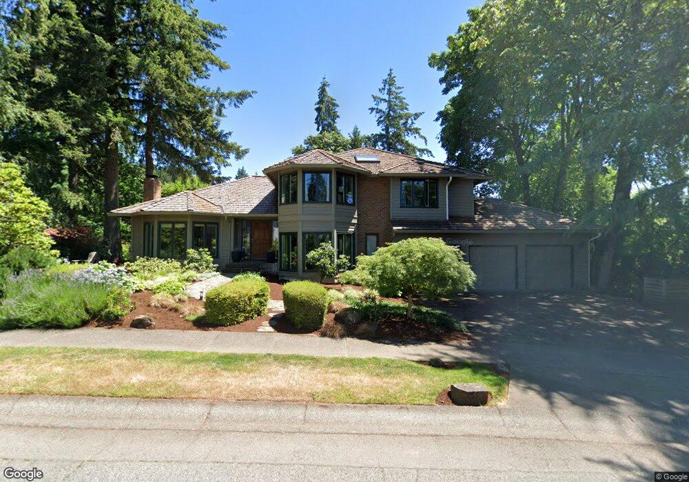
2640 Palisades Crest Dr Lake Oswego, OR 97034
Palisades NeighborhoodEstimated Value: $1,225,000 - $1,360,000
4
Beds
3
Baths
3,310
Sq Ft
$385/Sq Ft
Est. Value
About This Home
This home is located at 2640 Palisades Crest Dr, Lake Oswego, OR 97034 and is currently estimated at $1,274,273, approximately $384 per square foot. 2640 Palisades Crest Dr is a home located in Clackamas County with nearby schools including Lakeridge Middle School, Lakeridge High School, and The Children's Hour Academy.
Ownership History
Date
Name
Owned For
Owner Type
Purchase Details
Closed on
Jun 20, 2007
Sold by
Harmon Julie Q and Harmon Randall S
Bought by
Mckerrow Andrew J and Mckerrow Sheila A
Current Estimated Value
Home Financials for this Owner
Home Financials are based on the most recent Mortgage that was taken out on this home.
Original Mortgage
$515,000
Outstanding Balance
$313,088
Interest Rate
6.16%
Mortgage Type
Purchase Money Mortgage
Estimated Equity
$961,185
Create a Home Valuation Report for This Property
The Home Valuation Report is an in-depth analysis detailing your home's value as well as a comparison with similar homes in the area
Home Values in the Area
Average Home Value in this Area
Purchase History
| Date | Buyer | Sale Price | Title Company |
|---|---|---|---|
| Mckerrow Andrew J | $715,000 | Stewart |
Source: Public Records
Mortgage History
| Date | Status | Borrower | Loan Amount |
|---|---|---|---|
| Open | Mckerrow Andrew J | $515,000 |
Source: Public Records
Tax History Compared to Growth
Tax History
| Year | Tax Paid | Tax Assessment Tax Assessment Total Assessment is a certain percentage of the fair market value that is determined by local assessors to be the total taxable value of land and additions on the property. | Land | Improvement |
|---|---|---|---|---|
| 2025 | $14,333 | $748,012 | -- | -- |
| 2024 | $13,951 | $726,226 | -- | -- |
| 2023 | $13,951 | $705,074 | $0 | $0 |
| 2022 | $13,140 | $684,538 | $0 | $0 |
| 2021 | $12,135 | $664,600 | $0 | $0 |
| 2020 | $11,830 | $645,243 | $0 | $0 |
| 2019 | $11,539 | $626,450 | $0 | $0 |
| 2018 | $10,973 | $608,204 | $0 | $0 |
| 2017 | $10,588 | $590,489 | $0 | $0 |
| 2016 | $9,637 | $573,290 | $0 | $0 |
| 2015 | $9,311 | $556,592 | $0 | $0 |
| 2014 | $9,076 | $540,381 | $0 | $0 |
Source: Public Records
Map
Nearby Homes
- 12 Dover Way
- 17677 Westview Dr
- 2306 Mayors Ln
- 18815 Hilltop Rd
- 18300 Bryant Rd
- 1799 Atherton Dr
- 18706 Bryant Rd
- 4023 Melissa Dr
- 2627 Park Rd
- 17035 Westview Dr
- 3220 Southshore Blvd
- 4123 Chad Dr
- 18100 Bryant Rd
- 17210 Cedar Rd
- 3777 Rivers Edge Dr
- 17810 Sarah Hill Ln
- 4201 Childs Rd
- 17367 Canal Cir
- 16878 Canyon Dr
- 1951 Greentree Rd
- 2618 Palisades Crest Dr
- 18522 Anduin Terrace
- 18295 Westview Dr
- 2662 Palisades Crest Dr
- 2639 Palisades Crest Dr
- 18462 Anduin Terrace
- 2607 Palisades Crest Dr
- 2669 Palisades Crest Dr
- 2596 Palisades Crest Dr
- 18543 Anduin Terrace
- 18543 Anduin Te
- 18304 Westview Dr
- 18503 Anduin Terrace
- 2591 Palisades Crest Dr
- 2675 Palisades Crest Dr
- 18402 Anduin Terrace
- 18272 Westview Dr
- 2574 Palisades Crest Dr
- 18132 West View Dr
- 18132 Westview Dr