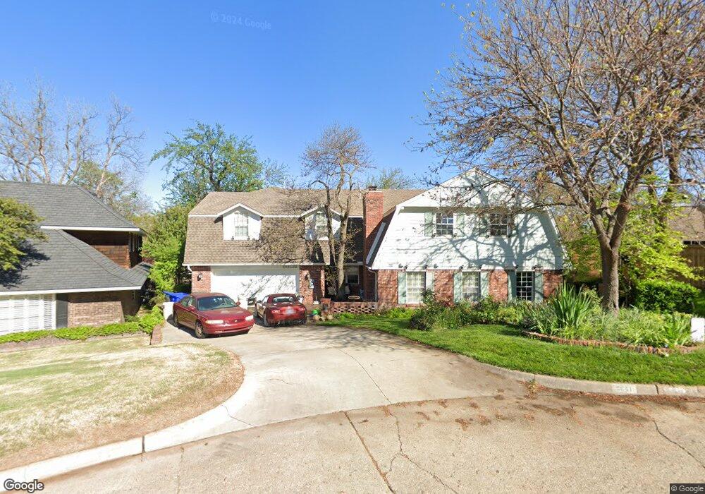
2641 Smoking Oak Rd Norman, OK 73072
Southwest Norman NeighborhoodEstimated Value: $842,159 - $1,135,000
5
Beds
6
Baths
6,782
Sq Ft
$151/Sq Ft
Est. Value
About This Home
This home is located at 2641 Smoking Oak Rd, Norman, OK 73072 and is currently estimated at $1,024,540, approximately $151 per square foot. 2641 Smoking Oak Rd is a home located in Cleveland County with nearby schools including Monroe Elementary School, Alcott Middle School, and Norman High School.
Ownership History
Date
Name
Owned For
Owner Type
Purchase Details
Closed on
Dec 22, 2017
Sold by
Barrett Tod J and Barrett Leonda L
Bought by
Ensler Curtis James
Current Estimated Value
Home Financials for this Owner
Home Financials are based on the most recent Mortgage that was taken out on this home.
Original Mortgage
$424,100
Outstanding Balance
$357,147
Interest Rate
3.95%
Mortgage Type
New Conventional
Estimated Equity
$667,393
Create a Home Valuation Report for This Property
The Home Valuation Report is an in-depth analysis detailing your home's value as well as a comparison with similar homes in the area
Home Values in the Area
Average Home Value in this Area
Purchase History
| Date | Buyer | Sale Price | Title Company |
|---|---|---|---|
| Ensler Curtis James | $663,000 | First American Title |
Source: Public Records
Mortgage History
| Date | Status | Borrower | Loan Amount |
|---|---|---|---|
| Open | Ensler Curtis James | $424,100 |
Source: Public Records
Tax History Compared to Growth
Tax History
| Year | Tax Paid | Tax Assessment Tax Assessment Total Assessment is a certain percentage of the fair market value that is determined by local assessors to be the total taxable value of land and additions on the property. | Land | Improvement |
|---|---|---|---|---|
| 2024 | $9,806 | $82,869 | $7,059 | $75,810 |
| 2023 | $9,542 | $80,456 | $6,946 | $73,510 |
| 2022 | $8,881 | $78,112 | $7,200 | $70,912 |
| 2021 | $9,362 | $78,112 | $7,200 | $70,912 |
| 2020 | $9,160 | $78,112 | $7,200 | $70,912 |
| 2019 | $9,316 | $78,112 | $7,200 | $70,912 |
| 2018 | $9,036 | $78,113 | $7,200 | $70,913 |
| 2017 | $10,569 | $90,199 | $0 | $0 |
| 2016 | $10,642 | $89,362 | $7,133 | $82,229 |
| 2015 | $10,018 | $86,759 | $2,235 | $84,524 |
| 2014 | $9,817 | $84,232 | $2,170 | $82,062 |
Source: Public Records
Map
Nearby Homes
- 2720 Cypress Ave
- 2804 Meadow Ave
- 1335 Spruce Dr
- 2521 McGee Dr Unit 5
- 3001 Marigold Trail
- 10 Rustic Hills St
- 2704 S Berry Rd
- 2717 S Berry Rd
- 3108 Meadow Ave
- 1830 Rolling Hills St
- 1744 Westbrooke Terrace
- 1711 Westbrooke Terrace
- 2022 Morning Dew Trail
- 2101 Riverside Dr
- 1124 Westbrooke Terrace
- 2520 O J Talley Cir
- 1917 Whispering Pines Cir
- 2812 Shoreridge Ave Unit 2814, 2812
- 2812 Shoreridge Ave Unit 2814
- 1109 Westbrooke Terrace
- 2637 Smoking Oak Rd
- 2644 Smoking Oak Rd
- 2708 Hollywood Ave
- 2700 Hollywood Ave
- 2622 Hollywood Ave
- 2638 Smoking Oak Rd
- 2616 Hollywood Ave
- 2625 Smoking Oak Rd
- 1611 Holly Cir
- 1605 Holly Cir
- 2632 Smoking Oak Rd
- 1608 Chestnut Ln
- 2701 Hollywood Ave
- 2610 Hollywood Ave
- 2627 Hollywood Ave
- 2624 Smoking Oak Rd
- 1614 Chestnut Ln
- 2713 Hollywood Ave
- 2621 Hollywood Ave