26417 State Route 93 Oak Hill, OH 45656
Estimated Value: $228,000 - $231,000
3
Beds
2
Baths
1,140
Sq Ft
$201/Sq Ft
Est. Value
About This Home
This home is located at 26417 State Route 93, Oak Hill, OH 45656 and is currently estimated at $229,500, approximately $201 per square foot. 26417 State Route 93 is a home located in Lawrence County with nearby schools including Oak Hill Elementary School and Oak Hill Middle/High School.
Ownership History
Date
Name
Owned For
Owner Type
Purchase Details
Closed on
Oct 23, 2020
Sold by
Mccorkle Dale and Mccorkle Marsha
Bought by
Orndoff Kathy D and Orndoff Preston J
Current Estimated Value
Home Financials for this Owner
Home Financials are based on the most recent Mortgage that was taken out on this home.
Original Mortgage
$137,600
Outstanding Balance
$122,165
Interest Rate
2.8%
Mortgage Type
New Conventional
Estimated Equity
$107,335
Purchase Details
Closed on
Dec 28, 2017
Sold by
Mccorkle Kelly Sue
Bought by
Mccorkle Dale
Purchase Details
Closed on
Nov 24, 1992
Sold by
Mccorkle Shirley Sue
Bought by
Mccorkle Dale A and Mccorkle Marsh
Purchase Details
Closed on
Nov 23, 1992
Sold by
Mccorkle Dale and Mccorkle Marsha
Bought by
Mccorkle Dale A and Mccorkle Marsh
Create a Home Valuation Report for This Property
The Home Valuation Report is an in-depth analysis detailing your home's value as well as a comparison with similar homes in the area
Home Values in the Area
Average Home Value in this Area
Purchase History
| Date | Buyer | Sale Price | Title Company |
|---|---|---|---|
| Orndoff Kathy D | $180,270 | Bestitle Agency | |
| Mccorkle Dale | $57,000 | None Available | |
| Mccorkle Dale A | -- | -- | |
| Mccorkle Dale A | -- | -- |
Source: Public Records
Mortgage History
| Date | Status | Borrower | Loan Amount |
|---|---|---|---|
| Open | Orndoff Kathy D | $137,600 |
Source: Public Records
Tax History Compared to Growth
Tax History
| Year | Tax Paid | Tax Assessment Tax Assessment Total Assessment is a certain percentage of the fair market value that is determined by local assessors to be the total taxable value of land and additions on the property. | Land | Improvement |
|---|---|---|---|---|
| 2024 | -- | $2,160 | $2,160 | -- |
| 2023 | $62 | $2,160 | $2,160 | $0 |
| 2022 | $62 | $2,160 | $2,160 | $0 |
| 2021 | $51 | $1,730 | $1,730 | $0 |
| 2020 | $51 | $1,730 | $1,730 | $0 |
| 2019 | $612 | $19,570 | $4,860 | $14,710 |
| 2018 | $590 | $18,620 | $4,860 | $13,760 |
| 2017 | $316 | $18,620 | $4,860 | $13,760 |
| 2016 | $292 | $18,620 | $4,860 | $13,760 |
| 2015 | $285 | $18,210 | $4,820 | $13,390 |
| 2014 | $285 | $18,210 | $4,820 | $13,390 |
| 2013 | $285 | $18,210 | $4,820 | $13,390 |
Source: Public Records
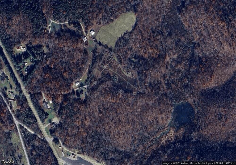
Map
Nearby Homes
- 49 Twp Rd 2974
- 25009 Ohio 93
- 25009 State Route 93
- 1337 Ohio 140
- 2080 Cozy Glenn Rd
- 349 S Park Ave
- 10355 Ohio 279
- 321 W Main St
- 413 Gallipolis Rd
- 413 Gallipolis Rd Unit (Clearview Pond)
- 2006 Ohio 279
- 703 E Main St
- 1045 Sardis Rd
- 15253 Ohio 140
- 13916 State Route 279
- 3240 Gallipolis Rd
- 3252 Sardis Rd
- 424 Dry Ridge Rd
- 15481 State Route 279
- 5030 Ohio 233
- 26415 State Route 93
- 26316 State Route 93
- 26316 Ohio 93
- 26419 State Route 93
- 476 County Road 7b
- 26418 State Route 93
- 526 County Road 7b
- 491 County Road 7b
- 327 County Road 7b
- 327 County Road 7b
- 103 Blackfork Rd
- 145 Blackfork Rd
- 40 Pvt Dr 2923
- 53 Pvt Drive 2923
- 2968 County Road 33
- 258 State Route 93
- 63 Private Drive 2974
- 32 Cambria Rd
- 2002 County Road 33
- 2639 County Road 33