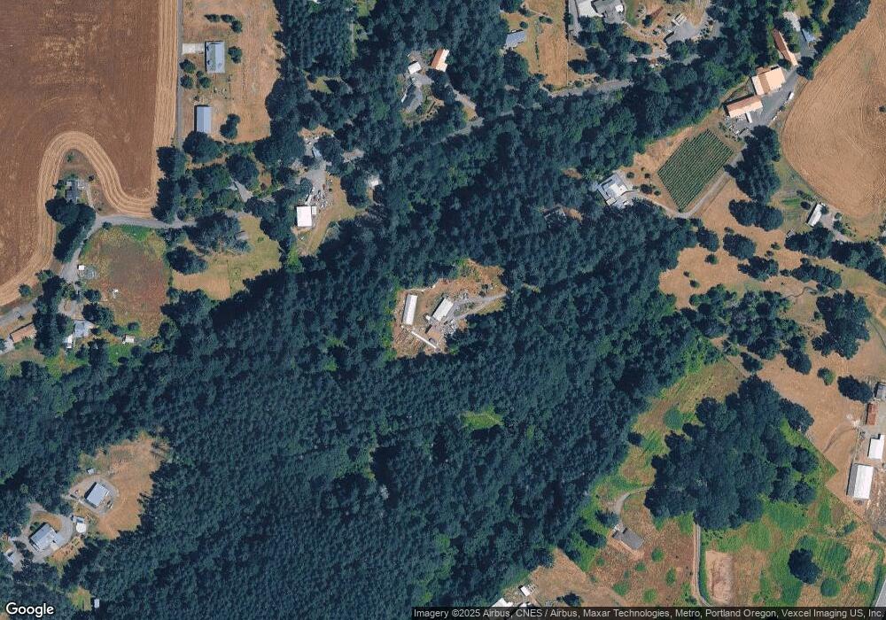
26425 Highway 47 Gaston, OR 97119
Estimated Value: $664,000 - $916,136
3
Beds
1
Bath
1,120
Sq Ft
$695/Sq Ft
Est. Value
About This Home
This home is located at 26425 Highway 47, Gaston, OR 97119 and is currently estimated at $778,534, approximately $695 per square foot. 26425 Highway 47 is a home located in Yamhill County with nearby schools including Gaston Elementary School.
Ownership History
Date
Name
Owned For
Owner Type
Purchase Details
Closed on
Nov 25, 2014
Sold by
Fisher Gibbs Diane L
Bought by
Stark Jacob P and Stark Erica D
Current Estimated Value
Home Financials for this Owner
Home Financials are based on the most recent Mortgage that was taken out on this home.
Original Mortgage
$205,000
Interest Rate
3.89%
Mortgage Type
Seller Take Back
Purchase Details
Closed on
Nov 10, 2014
Sold by
Fisher Dean H and Fisher Ann W
Bought by
Fisher Gibbs Diane L
Home Financials for this Owner
Home Financials are based on the most recent Mortgage that was taken out on this home.
Original Mortgage
$205,000
Interest Rate
3.89%
Mortgage Type
Seller Take Back
Purchase Details
Closed on
Jul 3, 2014
Sold by
Fisher Gibbs Diane Lee and Fisher Diane Lee
Bought by
Fisher Dean H and Fisher Ann W
Home Financials for this Owner
Home Financials are based on the most recent Mortgage that was taken out on this home.
Original Mortgage
$215,000
Interest Rate
4.09%
Mortgage Type
Seller Take Back
Create a Home Valuation Report for This Property
The Home Valuation Report is an in-depth analysis detailing your home's value as well as a comparison with similar homes in the area
Home Values in the Area
Average Home Value in this Area
Purchase History
| Date | Buyer | Sale Price | Title Company |
|---|---|---|---|
| Stark Jacob P | $215,000 | First American Title | |
| Fisher Gibbs Diane L | -- | None Available | |
| Fisher Dean H | $215,000 | First American Title |
Source: Public Records
Mortgage History
| Date | Status | Borrower | Loan Amount |
|---|---|---|---|
| Closed | Stark Jacob P | $205,000 | |
| Previous Owner | Fisher Dean H | $215,000 |
Source: Public Records
Tax History Compared to Growth
Tax History
| Year | Tax Paid | Tax Assessment Tax Assessment Total Assessment is a certain percentage of the fair market value that is determined by local assessors to be the total taxable value of land and additions on the property. | Land | Improvement |
|---|---|---|---|---|
| 2025 | $2,784 | $261,718 | -- | -- |
| 2024 | $2,709 | $254,095 | -- | -- |
| 2023 | $2,637 | $246,694 | $0 | $0 |
| 2022 | $2,564 | $239,509 | $0 | $0 |
| 2021 | $2,507 | $232,533 | $0 | $0 |
| 2020 | $2,439 | $225,760 | $0 | $0 |
| 2019 | $2,367 | $219,184 | $0 | $0 |
| 2018 | $2,319 | $212,800 | $0 | $0 |
| 2017 | $2,313 | $206,602 | $0 | $0 |
| 2016 | $2,268 | $200,585 | $0 | $0 |
| 2015 | $1,792 | $194,744 | $0 | $0 |
| 2014 | $1,737 | $189,074 | $0 | $0 |
Source: Public Records
Map
Nearby Homes
- 28781 Highway 47
- 310 Cottonwood St
- 413 3rd St
- 11706 SW Spring Hill Rd
- 414 Hedin Terrace
- 0 Carol Dr Unit Lot13 23602444
- 0 Carol Dr Unit LOT 2 23498187
- 42680 SW Gaston Rd
- 0 Washington St Unit 376330996
- 0 SW Hardebeck Rd
- 12595 SW Moreno Dr
- 0 X Unit 420758805
- 0 Xx Unit 777688956
- 38830 SW Hartley Rd
- 38185 SW Laurelwood Rd
- 0 NW Williams Canyon Rd Unit 24564627
- 25445 NE Bald Peak Rd
- 17475 NE Oak Grove Ln
- 24856 NE Bald Peak Rd
- 23999 NE Guenther Rd
- 1515 NW Phillips Rd
- 1600 NW Phillips Rd
- 26423 Highway 47
- 1668 NW Phillips Rd
- 1480 NW Phillips Rd
- 1410 NW Phillips Rd
- 1740 NW Phillips Rd
- 1250 NW Phillips Rd
- 1520 NW Phillips Rd
- 1873 NW Phillips Rd
- 25961 Highway 47
- 26101 Highway 47
- 1078 NW Phillips Rd
- 1620 NW Phillips Rd
- 26421 Highway 47
- 1070 NW Phillips Rd
- 1999 NW Phillips Rd
- 1750 NW Phillips Rd
- 26575 Highway 47
- 0 Hwy 47 and Flett Rd Unit 15073180
