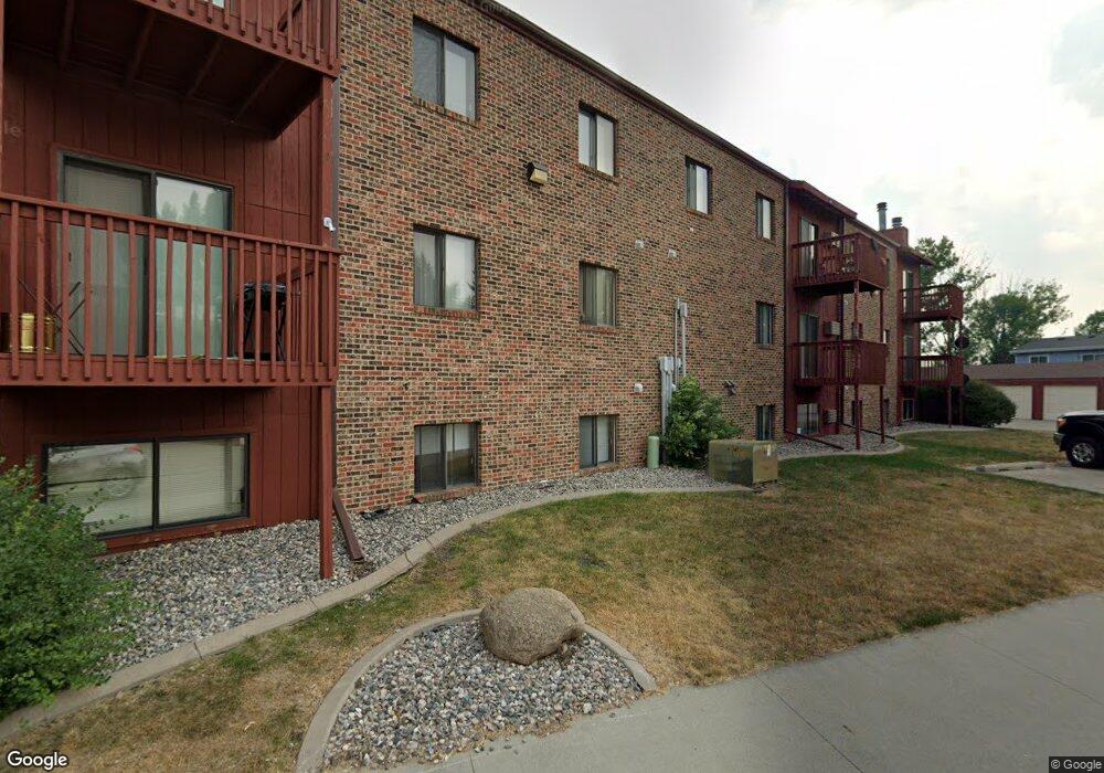
2643 Arrowhead Rd S Fargo, ND 58103
Brunsdale NeighborhoodEstimated Value: $1,463,000 - $1,765,834
2
Beds
1
Bath
900
Sq Ft
$1,794/Sq Ft
Est. Value
About This Home
This home is located at 2643 Arrowhead Rd S, Fargo, ND 58103 and is currently estimated at $1,614,417, approximately $1,793 per square foot. 2643 Arrowhead Rd S is a home located in Cass County with nearby schools including Lincoln Elementary School, Carl Ben Eielson Middle School, and South High School.
Ownership History
Date
Name
Owned For
Owner Type
Purchase Details
Closed on
Jul 30, 2014
Sold by
Gunderson Erik and Gunderson Emily
Bought by
Eg & Co Maci May Llc
Current Estimated Value
Purchase Details
Closed on
May 23, 2014
Sold by
Perhus Properties Llc
Bought by
Gunderson Erik and Gunderson Emily
Home Financials for this Owner
Home Financials are based on the most recent Mortgage that was taken out on this home.
Original Mortgage
$761,600
Interest Rate
4.34%
Mortgage Type
Commercial
Purchase Details
Closed on
Nov 9, 2011
Sold by
Howell Micheal L and Howell Michela M
Bought by
Perhus Properties Llc
Home Financials for this Owner
Home Financials are based on the most recent Mortgage that was taken out on this home.
Original Mortgage
$628,000
Interest Rate
3.97%
Mortgage Type
Commercial
Create a Home Valuation Report for This Property
The Home Valuation Report is an in-depth analysis detailing your home's value as well as a comparison with similar homes in the area
Home Values in the Area
Average Home Value in this Area
Purchase History
| Date | Buyer | Sale Price | Title Company |
|---|---|---|---|
| Eg & Co Maci May Llc | -- | None Available | |
| Gunderson Erik | $952,000 | Northern Title Co | |
| Perhus Properties Llc | $785,000 | -- |
Source: Public Records
Mortgage History
| Date | Status | Borrower | Loan Amount |
|---|---|---|---|
| Previous Owner | Gunderson Erik | $761,600 | |
| Previous Owner | Perhus Properties Llc | $628,000 |
Source: Public Records
Tax History Compared to Growth
Tax History
| Year | Tax Paid | Tax Assessment Tax Assessment Total Assessment is a certain percentage of the fair market value that is determined by local assessors to be the total taxable value of land and additions on the property. | Land | Improvement |
|---|---|---|---|---|
| 2024 | $16,834 | $541,450 | $60,500 | $480,950 |
| 2023 | $16,293 | $541,450 | $60,500 | $480,950 |
| 2022 | $14,680 | $479,150 | $60,500 | $418,650 |
| 2021 | $14,417 | $479,150 | $60,500 | $418,650 |
| 2020 | $14,231 | $479,150 | $60,500 | $418,650 |
| 2019 | $14,246 | $479,150 | $43,500 | $435,650 |
| 2018 | $14,062 | $479,150 | $43,500 | $435,650 |
| 2017 | $13,153 | $460,700 | $43,500 | $417,200 |
| 2016 | $12,062 | $460,700 | $43,500 | $417,200 |
| 2015 | $12,334 | $438,750 | $43,500 | $395,250 |
| 2014 | $11,012 | $381,500 | $43,500 | $338,000 |
| 2013 | $10,812 | $374,000 | $43,500 | $330,500 |
Source: Public Records
Map
Nearby Homes
- 2636 18th St S Unit 3
- 2636 18th St S Unit 8
- 2650 15th St S Unit 203
- 1802 27th Ave S
- 1519 30th Ave S
- 3008 18th St S
- 1531 31st Ave S
- 2008 27th Ave S
- 1808 25th Ave S
- 1401 25th Ave S Unit B204
- 2440 15th St S Unit B14
- 2318 15th St S Unit C11
- 2119 27th Ave S
- 2517 W Country Club Dr S Unit 10
- 3029 20th St S
- 2402 18th St S Unit 3
- 2629 Arrowhead Rd S Unit B8
- 2629 Arrowhead Rd S Unit B7
- 2629 Arrowhead Rd S Unit B6
- 2629 Arrowhead Rd S Unit B5
- 2629 Arrowhead Rd S Unit B4
- 2629 Arrowhead Rd S Unit B3
- 2629 Arrowhead Rd S Unit B2
- 2629 Arrowhead Rd S Unit B1
- 2629 Arrowhead Rd S
- 2629 Arrowhead Rd S Unit 7
- 2629 Arrowhead Rd S Unit 6
- 2629 Arrowhead Rd S Unit 5
- 2629 Arrowhead Rd S Unit 8
- 2629 Arrowhead Rd S Unit 4
- 2626 Atlantic Dr S Unit A
- 2622 Atlantic Dr S
- 2628 Atlantic Dr S
- 2620 Atlantic Dr S
- 1556 27th Ave S
- 1554 27th Ave S