26440 Baker Rd Denton, MD 21629
Estimated Value: $638,000 - $697,000
Studio
3
Baths
3,110
Sq Ft
$217/Sq Ft
Est. Value
About This Home
This home is located at 26440 Baker Rd, Denton, MD 21629 and is currently estimated at $674,733, approximately $216 per square foot. 26440 Baker Rd is a home located in Caroline County with nearby schools including Denton Elementary School, Lockerman Middle School, and North Caroline High School.
Ownership History
Date
Name
Owned For
Owner Type
Purchase Details
Closed on
Dec 20, 2022
Sold by
Smith David W
Bought by
Lednum Tammy S and Lednum William H
Current Estimated Value
Purchase Details
Closed on
May 17, 2022
Sold by
Lednum William H
Bought by
Bilbrough Brian K and Bilbrough Lisa K
Purchase Details
Closed on
Feb 16, 2021
Sold by
Smith David W and Smith Robyn L
Bought by
Lednum William Henry and Lednum Tammy Smith
Home Financials for this Owner
Home Financials are based on the most recent Mortgage that was taken out on this home.
Original Mortgage
$360,000
Interest Rate
2.7%
Mortgage Type
Commercial
Create a Home Valuation Report for This Property
The Home Valuation Report is an in-depth analysis detailing your home's value as well as a comparison with similar homes in the area
Home Values in the Area
Average Home Value in this Area
Purchase History
| Date | Buyer | Sale Price | Title Company |
|---|---|---|---|
| Lednum Tammy S | -- | -- | |
| Bilbrough Brian K | $95,000 | Eastern Shore Title | |
| Lednum William Henry | $423,530 | Eastern Shore Title Company |
Source: Public Records
Mortgage History
| Date | Status | Borrower | Loan Amount |
|---|---|---|---|
| Previous Owner | Lednum William Henry | $360,000 |
Source: Public Records
Tax History
| Year | Tax Paid | Tax Assessment Tax Assessment Total Assessment is a certain percentage of the fair market value that is determined by local assessors to be the total taxable value of land and additions on the property. | Land | Improvement |
|---|---|---|---|---|
| 2025 | $5,981 | $542,200 | $69,800 | $472,400 |
| 2024 | $5,337 | $483,267 | $0 | $0 |
| 2023 | $4,694 | $424,333 | $0 | $0 |
| 2022 | $4,050 | $365,400 | $69,800 | $295,600 |
| 2020 | $3,725 | $344,800 | $0 | $0 |
| 2019 | $4,352 | $334,500 | $64,800 | $269,700 |
| 2018 | $3,543 | $328,133 | $0 | $0 |
| 2017 | $3,504 | $321,767 | $0 | $0 |
| 2016 | -- | $315,400 | $0 | $0 |
| 2015 | $3,039 | $312,400 | $0 | $0 |
| 2014 | $3,039 | $309,400 | $0 | $0 |
Source: Public Records
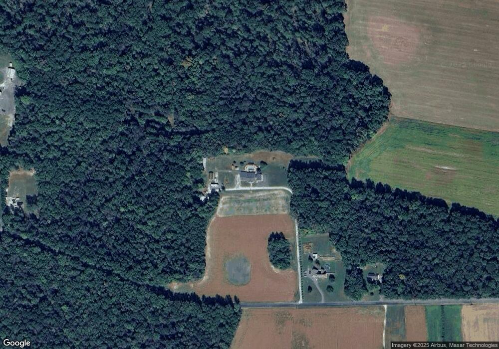
Map
Nearby Homes
- 1108 Camp Rd
- 10819 Greensboro Rd
- 1107 Osprey Ln
- 1106 Osprey Ln
- 1412 Blue Heron Dr
- 1907 Blue Heron Dr
- 1204 Blue Heron Dr
- 1202 Blue Heron Dr
- 1507 Blue Heron Dr
- 118 Briarwood Cir
- 1203 Tuckahoe Ct
- 1303 Fairfield Ct
- 25331 Adams Landing Rd
- 1005 Market St
- 804 Gay St
- 536 Gay St
- 406 Morning Glory Dr
- 501 Lincoln St
- 207 S 7th St
- 106 S 6th St
- 26446 Baker Rd
- 26496 Baker Rd
- 26501 Baker Rd
- 26270 Baker Rd
- 10711 Garland Rd
- 26365 Burrsville Rd
- 26349 Burrsville Rd
- 10738 Garland Rd
- 10725 Garland Rd
- 26671 Burrsville Rd
- 10401 Garland Rd
- 10750 Garland Rd
- 26197 Burrsville Rd
- 10614 Garland Rd
- 26760 Baker Rd
- 26668 Burrsville Rd
- 26193 Burrsville Rd
- 10349 Garland Rd
- 10351 Garland Rd
- 26568 Burrsville Rd
Your Personal Tour Guide
Ask me questions while you tour the home.