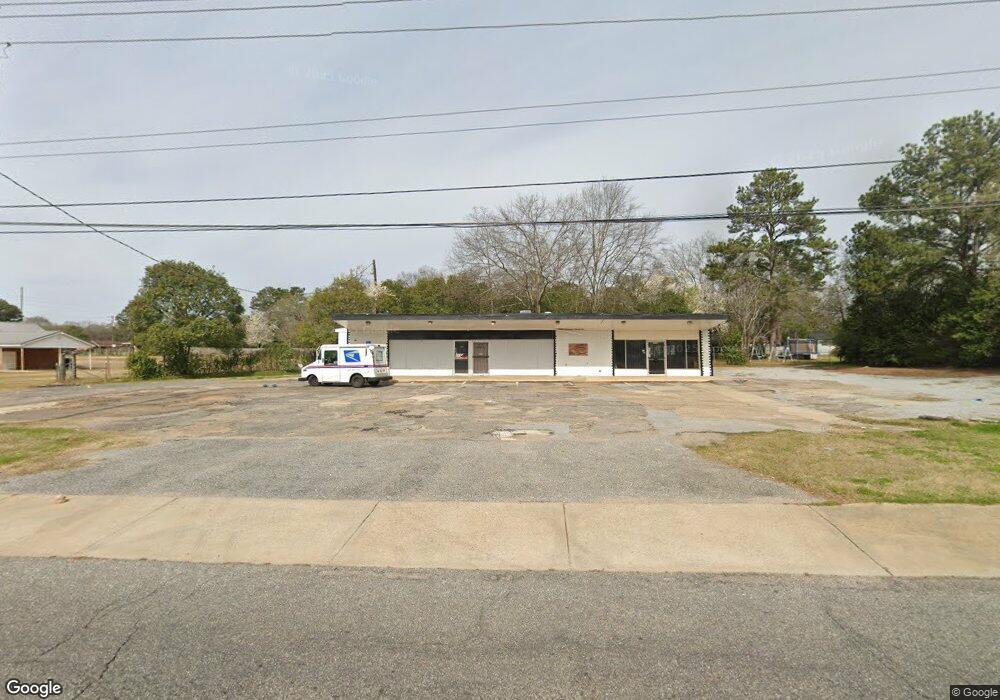
2645 Forbes Dr Montgomery, AL 36110
North Montgomery NeighborhoodEstimated Value: $65,849
--
Bed
1
Bath
2,226
Sq Ft
$30/Sq Ft
Est. Value
About This Home
This home is located at 2645 Forbes Dr, Montgomery, AL 36110 and is currently priced at $65,849, approximately $29 per square foot. 2645 Forbes Dr is a home located in Montgomery County with nearby schools including Chisholm Elementary School, Capitol Heights Middle School, and Dr. Percy L. Julian High School.
Ownership History
Date
Name
Owned For
Owner Type
Purchase Details
Closed on
Sep 18, 2023
Sold by
Pollard Desmon
Bought by
Metro Eaterys Fork In The Road Llc
Current Estimated Value
Home Financials for this Owner
Home Financials are based on the most recent Mortgage that was taken out on this home.
Original Mortgage
$97,500
Outstanding Balance
$83,184
Interest Rate
7.23%
Mortgage Type
Seller Take Back
Purchase Details
Closed on
May 9, 2017
Sold by
Auburn Prpoerties Inc
Bought by
Pollard Desmon
Create a Home Valuation Report for This Property
The Home Valuation Report is an in-depth analysis detailing your home's value as well as a comparison with similar homes in the area
Home Values in the Area
Average Home Value in this Area
Purchase History
| Date | Buyer | Sale Price | Title Company |
|---|---|---|---|
| Metro Eaterys Fork In The Road Llc | $130,000 | None Listed On Document | |
| Pollard Desmon | $47,189 | None Available |
Source: Public Records
Mortgage History
| Date | Status | Borrower | Loan Amount |
|---|---|---|---|
| Open | Metro Eaterys Fork In The Road Llc | $97,500 |
Source: Public Records
Tax History Compared to Growth
Tax History
| Year | Tax Paid | Tax Assessment Tax Assessment Total Assessment is a certain percentage of the fair market value that is determined by local assessors to be the total taxable value of land and additions on the property. | Land | Improvement |
|---|---|---|---|---|
| 2025 | $1,453 | $29,640 | $9,020 | $20,620 |
| 2024 | $1,453 | $29,640 | $9,020 | $20,620 |
| 2023 | $1,453 | $29,640 | $9,020 | $20,620 |
| 2022 | $1,082 | $29,640 | $9,020 | $20,620 |
| 2021 | $781 | $21,400 | $9,020 | $12,380 |
| 2020 | $781 | $21,400 | $9,020 | $12,380 |
| 2019 | $781 | $21,400 | $9,020 | $12,380 |
| 2018 | $781 | $21,400 | $0 | $0 |
| 2017 | $742 | $20,320 | $9,020 | $11,300 |
| 2014 | $680 | $18,632 | $9,020 | $9,612 |
| 2013 | -- | $21,880 | $9,020 | $12,860 |
Source: Public Records
Map
Nearby Homes
- 207 Milton Rd
- 201 Milton Rd
- 100 Brookview Ct
- 211 Milton Rd
- 103 Brookview Ct
- 217 Milton Rd
- 200 Milton Rd
- 104 Brookview Ct
- 210 Milton Rd
- 216 Milton Rd
- 221 Milton Rd
- 108 Brookview Ct
- 2707 Forbes Dr
- 108 Brookview Ct
- 107 Brookview Ct
- 222 Milton Rd
- 301 Brookview Dr
- 30 Briarbrook Dr
- 2711 Forbes Dr
- 227 Milton Rd