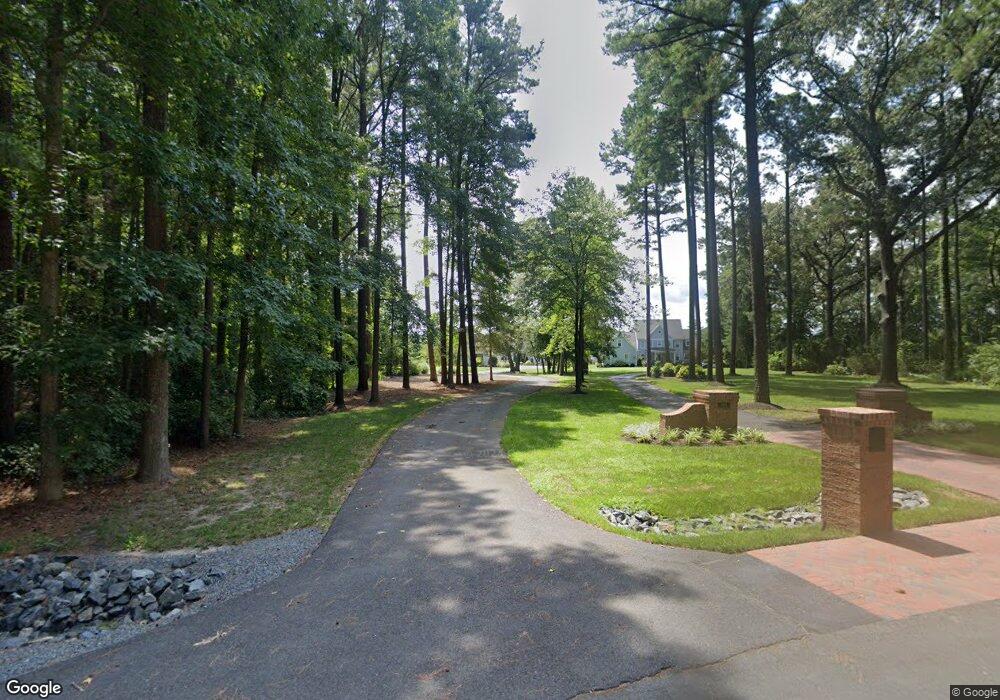
26463 High Banks Dr Salisbury, MD 21801
South Salisbury NeighborhoodEstimated Value: $1,042,000 - $1,685,000
4
Beds
7
Baths
5,400
Sq Ft
$248/Sq Ft
Est. Value
About This Home
This home is located at 26463 High Banks Dr, Salisbury, MD 21801 and is currently estimated at $1,339,632, approximately $248 per square foot. 26463 High Banks Dr is a home located in Wicomico County with nearby schools including Westside Primary School, Westside Intermediate School, and Salisbury Middle School.
Ownership History
Date
Name
Owned For
Owner Type
Purchase Details
Closed on
Jun 1, 2011
Sold by
Cottingham Carl L and Cottingham Joanne M
Bought by
Trauger James A and Trauger Lisa M
Current Estimated Value
Home Financials for this Owner
Home Financials are based on the most recent Mortgage that was taken out on this home.
Original Mortgage
$628,000
Outstanding Balance
$43,266
Interest Rate
4.81%
Mortgage Type
New Conventional
Estimated Equity
$1,296,366
Purchase Details
Closed on
May 27, 2011
Sold by
Cottingham Carl L and Cottingham Joanne M
Bought by
Trauger James A and Trauger Lisa M
Home Financials for this Owner
Home Financials are based on the most recent Mortgage that was taken out on this home.
Original Mortgage
$628,000
Outstanding Balance
$43,266
Interest Rate
4.81%
Mortgage Type
New Conventional
Estimated Equity
$1,296,366
Purchase Details
Closed on
May 20, 2005
Sold by
Clifton Gregory S and Clifton Eva M
Bought by
Cottingham Carl L and Cottingham Joanne M
Home Financials for this Owner
Home Financials are based on the most recent Mortgage that was taken out on this home.
Original Mortgage
$650,000
Interest Rate
5.62%
Mortgage Type
Adjustable Rate Mortgage/ARM
Purchase Details
Closed on
Sep 1, 2000
Sold by
Smith Raymond D and Smith Susan C
Bought by
Clifton Gregory S and Clifton Eva M
Purchase Details
Closed on
Apr 22, 1998
Sold by
Snug Harbor Corp
Bought by
Smith Raymond D and Smith Susan C
Create a Home Valuation Report for This Property
The Home Valuation Report is an in-depth analysis detailing your home's value as well as a comparison with similar homes in the area
Home Values in the Area
Average Home Value in this Area
Purchase History
| Date | Buyer | Sale Price | Title Company |
|---|---|---|---|
| Trauger James A | $785,000 | -- | |
| Trauger James A | $785,000 | Coastal Title & Escrow | |
| Trauger James A | $785,000 | -- | |
| Cottingham Carl L | $1,300,000 | -- | |
| Clifton Gregory S | $102,500 | -- | |
| Smith Raymond D | $80,000 | -- |
Source: Public Records
Mortgage History
| Date | Status | Borrower | Loan Amount |
|---|---|---|---|
| Open | Trauger James A | $628,000 | |
| Closed | Trauger James A | $628,000 | |
| Previous Owner | Cottingham Carl L | $650,000 | |
| Closed | Smith Raymond D | -- |
Source: Public Records
Tax History Compared to Growth
Tax History
| Year | Tax Paid | Tax Assessment Tax Assessment Total Assessment is a certain percentage of the fair market value that is determined by local assessors to be the total taxable value of land and additions on the property. | Land | Improvement |
|---|---|---|---|---|
| 2025 | $8,603 | $989,500 | $0 | $0 |
| 2024 | $8,603 | $917,400 | $0 | $0 |
| 2023 | $8,417 | $845,300 | $162,700 | $682,600 |
| 2022 | $8,544 | $832,567 | $0 | $0 |
| 2021 | $8,384 | $819,833 | $0 | $0 |
| 2020 | $8,384 | $807,100 | $162,700 | $644,400 |
| 2019 | $8,167 | $774,633 | $0 | $0 |
| 2018 | $7,866 | $742,167 | $0 | $0 |
| 2017 | $7,525 | $709,700 | $0 | $0 |
| 2016 | -- | $709,700 | $0 | $0 |
| 2015 | $9,941 | $709,700 | $0 | $0 |
| 2014 | $9,941 | $724,100 | $0 | $0 |
Source: Public Records
Map
Nearby Homes
- 26298 High Banks Dr
- 5088 Sailfish Dr
- 26694 Pemberton Dr
- 5006 Ladys Ct
- 5474 Royal Mile Blvd
- 0 King Stuart Dr Unit MDWC2018516
- LOT 19 Brandywood Ln
- 5461 Loch Ness Terrace
- Lot #8 Arrowwood Ct
- 5688 Kirkpatrick Ct
- 5709 Royal Mile Blvd
- 5437 Nithsdale Dr
- 5991 Hounds Bay Cir
- 26882 Pratt Rd
- 5686 N Nithsdale Dr Unit N
- 5541 E Nithsdale Dr
- 6151 Trails End Ct
- 26924 Black Horse Run
- 5079 Old Mill Branch Rd
- 6177 Ayrshire Dr
- 26455 High Banks Dr
- 5420 N Upper Ferry Rd
- 26491 Riverbank Rd
- 26427 High Banks Dr
- 26511 Riverbank Rd
- 26413 High Banks Dr
- 26525 Riverbank Rd
- 26401 High Banks Dr
- 26434 High Banks Dr
- 26434 High Banks Dr
- 26434 High Banks Dr
- 26490 Riverbank Rd
- 26535 Riverbank Rd
- 0 Upper Ferry Crossing Unit 1000809330
- 0 Upper Ferry Crossing Unit 1000790272
- 26512 Riverbank Rd
- 26389 High Banks Dr
- 5503 N Upper Ferry Rd
- 26559 Riverbank Rd
- 26388 High Banks Dr