2647 Craig Rd Springfield, OH 45502
Estimated Value: $360,000 - $510,000
5
Beds
3
Baths
2,400
Sq Ft
$178/Sq Ft
Est. Value
About This Home
This home is located at 2647 Craig Rd, Springfield, OH 45502 and is currently estimated at $427,887, approximately $178 per square foot. 2647 Craig Rd is a home located in Clark County with nearby schools including Possum Elementary School, Shawnee Middle School/High School, and Twin Oaks Sda Elementary School.
Ownership History
Date
Name
Owned For
Owner Type
Purchase Details
Closed on
May 7, 2019
Sold by
Trumbull David B
Bought by
Trumbull David B and Trumbull Deborah Sue
Current Estimated Value
Purchase Details
Closed on
Oct 12, 1999
Sold by
Trumbull Deborah K and Leblanc Deborah K
Bought by
Trumbull David B
Home Financials for this Owner
Home Financials are based on the most recent Mortgage that was taken out on this home.
Original Mortgage
$120,000
Outstanding Balance
$43,909
Interest Rate
11.45%
Estimated Equity
$383,978
Purchase Details
Closed on
Aug 9, 1991
Create a Home Valuation Report for This Property
The Home Valuation Report is an in-depth analysis detailing your home's value as well as a comparison with similar homes in the area
Purchase History
| Date | Buyer | Sale Price | Title Company |
|---|---|---|---|
| Trumbull David B | -- | None Available | |
| Trumbull David B | -- | -- | |
| -- | -- | -- |
Source: Public Records
Mortgage History
| Date | Status | Borrower | Loan Amount |
|---|---|---|---|
| Open | Trumbull David B | $120,000 |
Source: Public Records
Tax History
| Year | Tax Paid | Tax Assessment Tax Assessment Total Assessment is a certain percentage of the fair market value that is determined by local assessors to be the total taxable value of land and additions on the property. | Land | Improvement |
|---|---|---|---|---|
| 2025 | $4,551 | $126,220 | $55,870 | $70,350 |
| 2024 | $4,465 | $99,950 | $40,450 | $59,500 |
| 2023 | $4,465 | $99,950 | $40,450 | $59,500 |
| 2022 | $4,448 | $99,950 | $40,450 | $59,500 |
| 2021 | $3,753 | $77,620 | $31,350 | $46,270 |
| 2020 | $3,784 | $77,620 | $31,350 | $46,270 |
| 2019 | $3,844 | $77,620 | $31,350 | $46,270 |
| 2018 | $3,415 | $69,080 | $28,500 | $40,580 |
| 2017 | $3,499 | $69,083 | $28,504 | $40,579 |
| 2016 | $3,160 | $69,083 | $28,504 | $40,579 |
| 2015 | $3,186 | $67,550 | $28,504 | $39,046 |
| 2014 | $3,195 | $67,550 | $28,504 | $39,046 |
| 2013 | $2,780 | $67,550 | $28,504 | $39,046 |
Source: Public Records
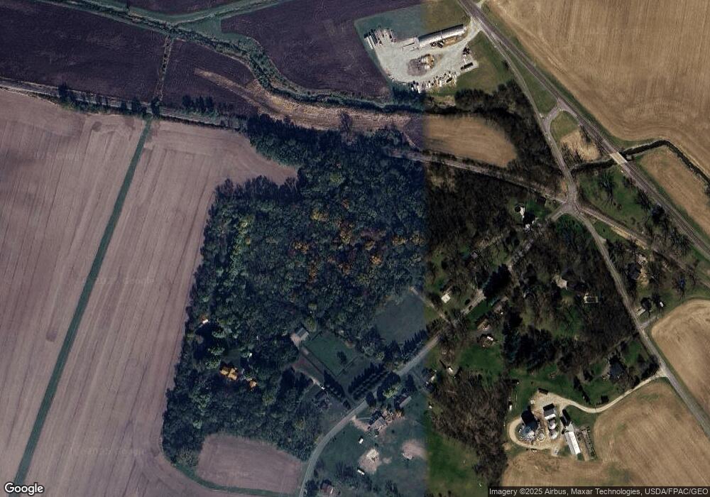
Map
Nearby Homes
- 2800 Craig Rd
- 2212 Ridge Rd
- 2164 Ridge Rd
- 0 Fletcher Chapel Rd Unit 1042048
- 5073 Kerns Rd
- 5210 Kerns Rd
- 5143 E Pitchin Rd
- 414 S Landon Ln
- 413 S Landon Ln
- 410 S Landon Ln
- 407 S Landon Ln
- 405 S Landon Ln
- Emmett Plan at Melody Parks - Designer Collection
- Carrington Plan at Melody Parks - Designer Collection
- Wyatt Plan at Melody Parks - Designer Collection
- Grandin Plan at Melody Parks - Designer Collection
- Avery Plan at Melody Parks - Designer Collection
- Calvin Plan at Melody Parks - Designer Collection
- Charles Plan at Melody Parks - Designer Collection
- Blair Plan at Melody Parks - Designer Collection
- 0 Whitridge Rd
- 2607 Craig Rd
- 2575 Craig Rd
- 2662 Craig Rd
- 2608 Craig Rd
- 2711 Craig Rd
- 2684 Craig Rd
- 2707 Craig Rd
- 2708 Craig Rd
- 2531 Craig Rd
- 5375 S Charleston Pike
- 5585 Old Route 70
- 2774 Craig Rd
- 5614 Old Route 70
- 5460 S Charleston Pike
- 2824 Craig Rd
- 5380 S Charleston Pike
- 5326 S Charleston Pike
- 5300 S Charleston Pike
- 5268 S Charleston Pike
Your Personal Tour Guide
Ask me questions while you tour the home.