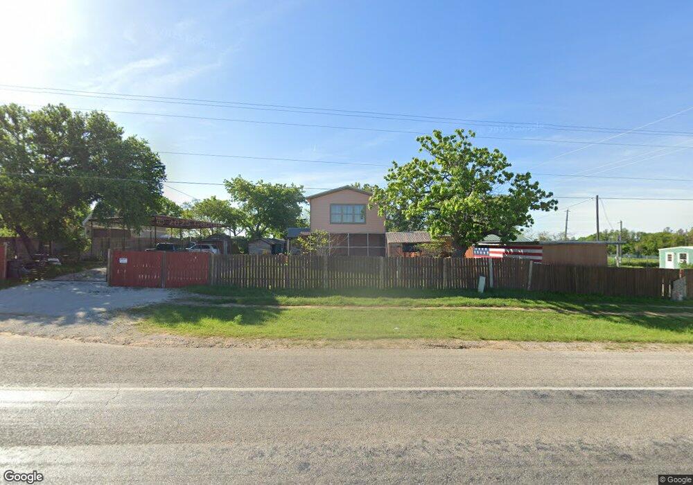
2647 Ranger Hwy Weatherford, TX 76088
Estimated Value: $189,385 - $347,000
1
Bed
1
Bath
728
Sq Ft
$377/Sq Ft
Est. Value
About This Home
This home is located at 2647 Ranger Hwy, Weatherford, TX 76088 and is currently estimated at $274,596, approximately $377 per square foot. 2647 Ranger Hwy is a home located in Parker County with nearby schools including Wright Elementary School, Hall Middle School, and Weatherford High School.
Ownership History
Date
Name
Owned For
Owner Type
Purchase Details
Closed on
Aug 15, 2022
Sold by
Tate Paula K Langford
Bought by
Rahbarzare Moslem and Rahbarzare Twyla
Current Estimated Value
Purchase Details
Closed on
May 13, 2014
Sold by
Mann June
Bought by
Langford Paula K
Purchase Details
Closed on
Apr 26, 2002
Sold by
Tillery Sammie C
Bought by
Langford Paula K
Create a Home Valuation Report for This Property
The Home Valuation Report is an in-depth analysis detailing your home's value as well as a comparison with similar homes in the area
Home Values in the Area
Average Home Value in this Area
Purchase History
| Date | Buyer | Sale Price | Title Company |
|---|---|---|---|
| Rahbarzare Moslem | -- | None Listed On Document | |
| Langford Paula K | -- | None Available | |
| Langford Paula K | -- | None Available | |
| Langford Paula K | -- | -- |
Source: Public Records
Tax History Compared to Growth
Tax History
| Year | Tax Paid | Tax Assessment Tax Assessment Total Assessment is a certain percentage of the fair market value that is determined by local assessors to be the total taxable value of land and additions on the property. | Land | Improvement |
|---|---|---|---|---|
| 2025 | $1,292 | $155,190 | $75,000 | $80,190 |
| 2024 | $1,292 | $153,360 | $75,000 | $78,360 |
| 2023 | $1,292 | $153,360 | $75,000 | $78,360 |
| 2022 | $1,555 | $84,850 | $35,000 | $49,850 |
| 2021 | $1,532 | $84,850 | $35,000 | $49,850 |
| 2020 | $1,400 | $69,010 | $30,000 | $39,010 |
| 2019 | $1,388 | $69,010 | $30,000 | $39,010 |
| 2018 | $1,269 | $58,330 | $24,660 | $33,670 |
| 2017 | $1,295 | $58,330 | $24,660 | $33,670 |
| 2016 | $1,274 | $57,380 | $24,660 | $32,720 |
| 2015 | $880 | $57,380 | $24,660 | $32,720 |
| 2014 | $817 | $53,630 | $21,370 | $32,260 |
Source: Public Records
Map
Nearby Homes
- 330 Pack Saddle Ct
- 305 Wrangler Ct
- 313 Wrangler Ct
- 2800 Ranger Hwy
- 121 Desperado Way
- 143 Desperado Way
- 124 Desperado Way
- 169 Pack Saddle Trail
- 177 Pack Saddle Trail
- 2894 Ranger Hwy
- 142 Wood Oak Trail
- 111 Diamond Ridge Ln
- TBD Diamond Ridge Ln
- 105 Michael Ln
- 119 Michael Ln
- 112 Tigers Eye Ct
- 2045 Eagles Ridge Dr
- 3180 Old Brock Rd
- 209 Grace Ct
- TBD Old Brock Rd
- 2643 Ranger Hwy
- 2620 Ranger Hwy
- 2545 Ranger Hwy
- 2330 Greenwood Cut Off Rd
- 2336 Greenwood Cut Off Rd
- 2324 Greenwood Cut Off Rd
- 2671 Ranger Hwy
- TBD Greenwood Cut Off Rd
- TBD Greenwood Cut Off Rd Unit A
- 2526 Ranger Hwy
- 2522 Ranger Hwy
- 2674 Ranger Hwy
- 2525 Roark Ln
- 2310 Greenwood Cut Off Rd
- 112 Buck Ct
- 211 Windmill Rd
- 2600 Block Ranger Hwy
- 2516 Ranger Hwy
- TBD Greenwood Cut Off Rd Unit B
- 113 Buck Ct