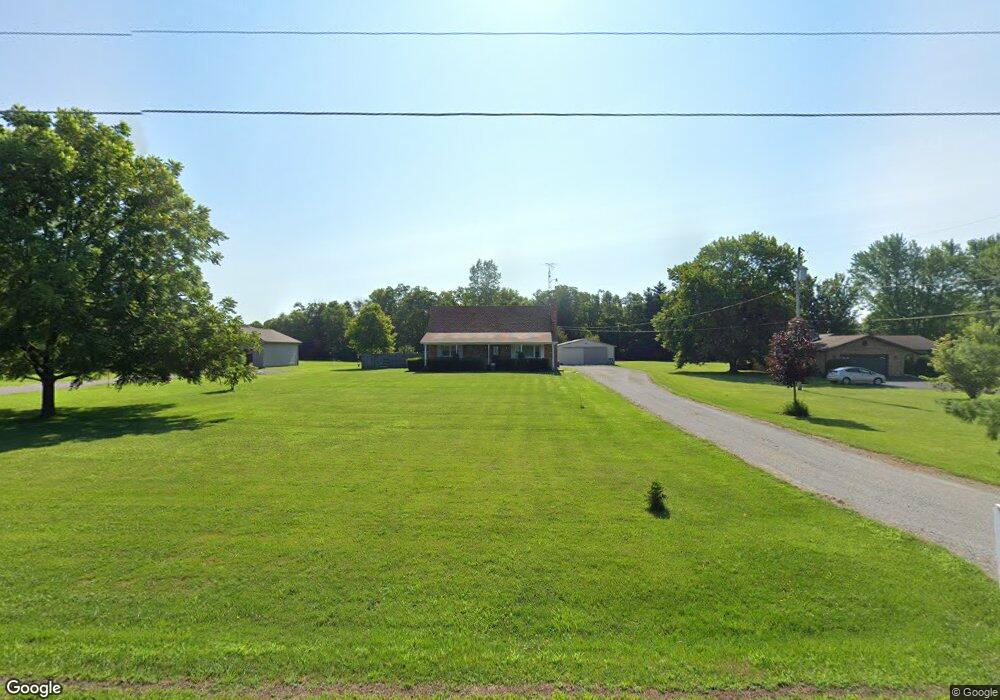
2648 Spence Rd New Carlisle, OH 45344
Estimated Value: $277,000 - $366,000
4
Beds
2
Baths
1,548
Sq Ft
$208/Sq Ft
Est. Value
About This Home
This home is located at 2648 Spence Rd, New Carlisle, OH 45344 and is currently estimated at $322,207, approximately $208 per square foot. 2648 Spence Rd is a home located in Clark County with nearby schools including Northwestern Elementary School and Northwestern Junior/Senior High School.
Ownership History
Date
Name
Owned For
Owner Type
Purchase Details
Closed on
Aug 30, 1999
Sold by
Wells William K and Wells Sue L
Bought by
Witte Michael J and Witte Bonnie F
Current Estimated Value
Home Financials for this Owner
Home Financials are based on the most recent Mortgage that was taken out on this home.
Original Mortgage
$109,700
Interest Rate
7.59%
Create a Home Valuation Report for This Property
The Home Valuation Report is an in-depth analysis detailing your home's value as well as a comparison with similar homes in the area
Home Values in the Area
Average Home Value in this Area
Purchase History
| Date | Buyer | Sale Price | Title Company |
|---|---|---|---|
| Witte Michael J | $121,900 | -- |
Source: Public Records
Mortgage History
| Date | Status | Borrower | Loan Amount |
|---|---|---|---|
| Closed | Witte Michael J | $109,700 |
Source: Public Records
Tax History Compared to Growth
Tax History
| Year | Tax Paid | Tax Assessment Tax Assessment Total Assessment is a certain percentage of the fair market value that is determined by local assessors to be the total taxable value of land and additions on the property. | Land | Improvement |
|---|---|---|---|---|
| 2024 | $2,962 | $72,340 | $14,640 | $57,700 |
| 2023 | $2,962 | $72,340 | $14,640 | $57,700 |
| 2022 | $3,061 | $72,340 | $14,640 | $57,700 |
| 2021 | $2,961 | $54,380 | $10,690 | $43,690 |
| 2020 | $2,934 | $54,380 | $10,690 | $43,690 |
| 2019 | $2,963 | $54,380 | $10,690 | $43,690 |
| 2018 | $2,856 | $52,070 | $9,710 | $42,360 |
| 2017 | $2,857 | $52,070 | $9,713 | $42,357 |
| 2016 | $2,800 | $52,070 | $9,713 | $42,357 |
| 2015 | $2,621 | $49,774 | $9,713 | $40,061 |
| 2014 | $2,620 | $49,774 | $9,713 | $40,061 |
| 2013 | $2,603 | $49,774 | $9,713 | $40,061 |
Source: Public Records
Map
Nearby Homes
- 7475 Detrick Jordan Pike
- 7585 Wrenview Dr
- 3390 Spence Rd
- 2430 Myers Rd
- 3771 Spence Rd
- 286 Hampton Trail
- 00 Folk Ream Rd
- 1 Folk Ream Rd
- 268 Hampton Trail
- 3172 Folk Ream Rd
- 81 W Clark St
- 1559 Folk Ream Rd
- 6580 Shaler Dr
- 1650 Cranbrook Dr
- 3961 Shrine Rd
- 6258 Zachary Ave
- 7588 Milton Carlisle Rd
- 3410 Michael Dr
- 3430 Michael Dr
- 5889 Troy Rd
- 2651 Spence Rd
- 2669 Spence Rd
- 2662 Spence Rd
- 2615 Spence Rd
- 2683 Spence Rd
- 2692 Spence Rd
- 7936 Detrick Jordan Pike
- 2701 Spence Rd
- 2721 Spence Rd
- 2738 Spence Rd
- 7985 Detrick Jordan Pike
- 8037 Detrick Jordan Pike
- 2751 Spence Rd
- 7884 Detrick Jordan Pike
- 7898 Detrick Jordan Pike
- 2763 Spence Rd
- 2780 Spence Rd
- 2775 Spence Rd
- 7840 Detrick Jordan Pike
- 2806 Spence Rd