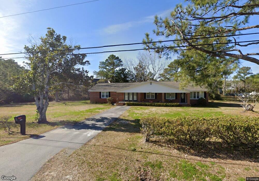
2649 Us Highway 70 E Beaufort, NC 28516
Estimated Value: $281,000 - $354,682
4
Beds
2
Baths
2,204
Sq Ft
$141/Sq Ft
Est. Value
About This Home
This home is located at 2649 Us Highway 70 E, Beaufort, NC 28516 and is currently estimated at $309,921, approximately $140 per square foot. 2649 Us Highway 70 E is a home located in Carteret County with nearby schools including Beaufort Elementary School, Beaufort Middle School, and East Carteret High School.
Ownership History
Date
Name
Owned For
Owner Type
Purchase Details
Closed on
Jan 21, 2025
Sold by
Prange James A and Prange Melissa Dawn
Bought by
Pinto Frank Davie Gonzal and Morales Cinthya Mayte
Current Estimated Value
Home Financials for this Owner
Home Financials are based on the most recent Mortgage that was taken out on this home.
Original Mortgage
$246,500
Outstanding Balance
$239,554
Interest Rate
5.92%
Mortgage Type
New Conventional
Estimated Equity
$70,367
Create a Home Valuation Report for This Property
The Home Valuation Report is an in-depth analysis detailing your home's value as well as a comparison with similar homes in the area
Home Values in the Area
Average Home Value in this Area
Purchase History
| Date | Buyer | Sale Price | Title Company |
|---|---|---|---|
| Pinto Frank Davie Gonzal | $290,000 | None Listed On Document | |
| Pinto Frank Davie Gonzal | $290,000 | None Listed On Document |
Source: Public Records
Mortgage History
| Date | Status | Borrower | Loan Amount |
|---|---|---|---|
| Open | Pinto Frank Davie Gonzal | $246,500 | |
| Closed | Pinto Frank Davie Gonzal | $246,500 |
Source: Public Records
Tax History Compared to Growth
Tax History
| Year | Tax Paid | Tax Assessment Tax Assessment Total Assessment is a certain percentage of the fair market value that is determined by local assessors to be the total taxable value of land and additions on the property. | Land | Improvement |
|---|---|---|---|---|
| 2025 | $1,226 | $322,217 | $30,411 | $291,806 |
| 2024 | $937 | $167,734 | $31,725 | $136,009 |
| 2023 | $1,011 | $167,734 | $31,725 | $136,009 |
| 2022 | $994 | $167,734 | $31,725 | $136,009 |
| 2021 | $0 | $167,734 | $31,725 | $136,009 |
| 2020 | $1,044 | $167,734 | $31,725 | $136,009 |
| 2019 | $1,135 | $195,833 | $48,645 | $147,188 |
| 2017 | $1,140 | $195,833 | $48,645 | $147,188 |
| 2016 | $1,110 | $195,833 | $48,645 | $147,188 |
| 2015 | $1,091 | $195,833 | $48,645 | $147,188 |
| 2014 | $1,042 | $187,370 | $56,950 | $130,420 |
Source: Public Records
Map
Nearby Homes
- 119 Radley Ln
- 2695 U S 70
- 100 Tiffany Way
- 105 Finch Loop
- 101 Finch Loop
- 102 N River Club Dr
- 129 Tiffany Way
- 2547 U S 70
- 109 Finch Loop
- 110 N Harbor Dr
- 212 Taylorwood Dr
- 106 Crows Nest Cir
- 202 Windswept Ln
- 203 Windswept Ln
- 0 River Dr
- 201 Windswept Ln
- 315 Taylorwood Dr
- 317 Taylorwood Dr
- 319 Taylorwood Dr
- Seagate 3 Plan at Beaufort Club
- 125 Radley Ln
- 127 Radley Ln
- 123 Radley Ln
- 121 Radley Ln
- 2650 U S 70
- 101 N River Club Dr
- 123 Sunrise Dr
- 103 N River Club Dr
- 2674 Us Highway 70 E
- 116 Radley Ln
- 126 Radley Ln
- 2674 U S 70
- 105 N River Club Dr
- 117 Radley Ln
- 2622 U S 70
- 107 N River Club Dr
- 115 Radley Ln
- 114 Radley Ln
- 120 Sunrise Dr
- 139 Sunrise Dr