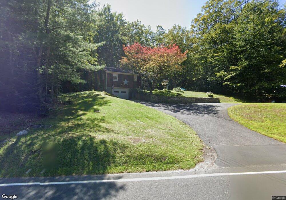
265 1/2 Colebrook Rd Winsted, CT 06098
Estimated Value: $309,000 - $392,000
3
Beds
2
Baths
1,608
Sq Ft
$218/Sq Ft
Est. Value
About This Home
This home is located at 265 1/2 Colebrook Rd, Winsted, CT 06098 and is currently estimated at $351,015, approximately $218 per square foot. 265 1/2 Colebrook Rd is a home located in Litchfield County with nearby schools including Explorations Charter School.
Ownership History
Date
Name
Owned For
Owner Type
Purchase Details
Closed on
Oct 26, 1995
Sold by
Rossi David
Bought by
Veiilleux Donald and Whitford Violet
Current Estimated Value
Create a Home Valuation Report for This Property
The Home Valuation Report is an in-depth analysis detailing your home's value as well as a comparison with similar homes in the area
Home Values in the Area
Average Home Value in this Area
Purchase History
| Date | Buyer | Sale Price | Title Company |
|---|---|---|---|
| Veiilleux Donald | $140,000 | -- | |
| Veiilleux Donald | $140,000 | -- |
Source: Public Records
Mortgage History
| Date | Status | Borrower | Loan Amount |
|---|---|---|---|
| Open | Veiilleux Donald | $159,450 | |
| Closed | Veiilleux Donald | $176,200 | |
| Closed | Veiilleux Donald | $144,000 |
Source: Public Records
Tax History Compared to Growth
Tax History
| Year | Tax Paid | Tax Assessment Tax Assessment Total Assessment is a certain percentage of the fair market value that is determined by local assessors to be the total taxable value of land and additions on the property. | Land | Improvement |
|---|---|---|---|---|
| 2025 | $4,509 | $154,560 | $44,170 | $110,390 |
| 2024 | $4,210 | $154,560 | $44,170 | $110,390 |
| 2023 | $4,079 | $154,560 | $44,170 | $110,390 |
| 2022 | $4,245 | $126,560 | $31,990 | $94,570 |
| 2021 | $4,245 | $126,560 | $31,990 | $94,570 |
| 2020 | $4,245 | $126,560 | $31,990 | $94,570 |
| 2019 | $4,245 | $126,560 | $31,990 | $94,570 |
| 2018 | $4,245 | $126,560 | $31,990 | $94,570 |
| 2017 | $4,104 | $122,360 | $29,260 | $93,100 |
| 2016 | $4,109 | $122,500 | $29,260 | $93,240 |
| 2015 | $4,006 | $122,500 | $29,260 | $93,240 |
| 2014 | $3,909 | $122,500 | $29,260 | $93,240 |
Source: Public Records
Map
Nearby Homes
- 197 Spencer Hill Rd
- 208 Spencer Hill Rd
- 151 Losaw Rd
- 503 N Main St
- 115 Old Robertsville Rd
- 256 Colebrook Rd
- 111 Riverton Rd Unit 61
- 111 Riverton Rd Unit 90
- 0 Old Robertsville Rd
- 11 Old Creamery Rd
- 32 Norfolk Rd
- 82 Riverton Rd
- 00 Ramsgate Ln
- 2 Ramsgate Ln
- 430 Smith Hill Rd
- 312 Colebrook River Rd
- 52 White St
- 38 Upland Rd
- 99 Hubbard St
- 77 Hubbard St
- 2 Rowley Pond Rd
- 3 Rowley Pond Rd
- 5 Rowley Pond Rd
- 239 Smith Hill Rd
- 7 Rowley Pond Rd
- 235 Smith Hill Rd
- 233 Smith Hill Rd
- 244 Smith Hill Rd
- 9 Rowley Pond Rd
- 238 Smith Hill Rd
- 236 Smith Hill Rd
- 225 Smith Hill Rd
- 223 Smith Hill Rd
- 234 Smith Hill Rd
- 232 Smith Hill Rd
- 255 Smith Hill Rd
- 226 Smith Hill Rd
- 209 Spencer Hill Rd
- 228 Smith Hill Rd
- 250 Smith Hill Rd