265 Big T Rd Guyton, GA 31312
Estimated Value: $510,000 - $511,000
Studio
1
Bath
2,488
Sq Ft
$205/Sq Ft
Est. Value
About This Home
This home is located at 265 Big T Rd, Guyton, GA 31312 and is currently estimated at $510,500, approximately $205 per square foot. 265 Big T Rd is a home located in Effingham County with nearby schools including Guyton Elementary School, Effingham County Middle School, and Effingham County High School.
Ownership History
Date
Name
Owned For
Owner Type
Purchase Details
Closed on
Oct 29, 2019
Sold by
Lumpkin Jimmy Wayne
Bought by
Lumpkin Terry Michael
Current Estimated Value
Purchase Details
Closed on
Feb 20, 2014
Sold by
Bryant Ronald F
Bought by
Lumpkin Terry Michael
Purchase Details
Closed on
Nov 30, 2011
Sold by
Lumpkin Terry Michael
Bought by
Lumpkin Terry Michael and Lumpkin Jimmy Wayne
Purchase Details
Closed on
Dec 6, 2004
Bought by
Lumpkin Terry Michael
Create a Home Valuation Report for This Property
The Home Valuation Report is an in-depth analysis detailing your home's value as well as a comparison with similar homes in the area
Home Values in the Area
Average Home Value in this Area
Purchase History
| Date | Buyer | Sale Price | Title Company |
|---|---|---|---|
| Lumpkin Terry Michael | -- | -- | |
| Lumpkin Terry Michael | $63,000 | -- | |
| Lumpkin Terry Michael | -- | -- | |
| Lumpkin Terry Michael | -- | -- |
Source: Public Records
Tax History
| Year | Tax Paid | Tax Assessment Tax Assessment Total Assessment is a certain percentage of the fair market value that is determined by local assessors to be the total taxable value of land and additions on the property. | Land | Improvement |
|---|---|---|---|---|
| 2025 | $3,444 | $164,061 | $62,698 | $101,363 |
| 2024 | $3,382 | $170,415 | $62,698 | $107,717 |
| 2023 | $3,250 | $153,910 | $62,698 | $91,212 |
| 2022 | $3,219 | $153,910 | $62,698 | $91,212 |
| 2021 | $3,142 | $150,305 | $62,698 | $87,607 |
| 2020 | $2,981 | $146,409 | $62,698 | $83,711 |
| 2019 | $3,705 | $113,102 | $29,391 | $83,711 |
| 2018 | $2,763 | $79,572 | $18,341 | $61,231 |
| 2017 | $2,687 | $79,572 | $18,341 | $61,231 |
| 2016 | $2,562 | $79,325 | $18,341 | $60,984 |
| 2015 | $2,564 | $79,325 | $18,341 | $60,984 |
| 2014 | $2,648 | $81,433 | $18,341 | $63,092 |
| 2013 | -- | $81,432 | $18,340 | $63,092 |
Source: Public Records
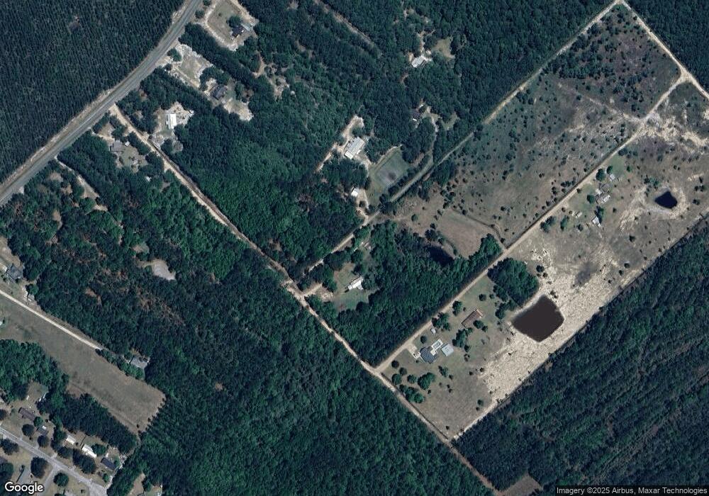
Map
Nearby Homes
- 115 Indica Place
- 520 Glory Dr
- 235 Southern Charm Way
- 121 Benicia Ln
- 296 Barrister Cir
- 103 Benicia Ln
- 321 Saranac Way
- 278 Barrister Cir
- 108 Stonesthrow Ct
- 268 Appaloosa Way
- 99 Conifer Dr
- 0 Palomino Dr Unit SA347294
- 306 Stirrup Ct
- 110 Saddlehorn Dr
- 1367 Low Ground Rd
- 190 Cypress Cove Ln
- 05 Little McCall Rd
- 06 Little McCall Rd
- 0 Low Ground Rd Unit 10630626
- 0 Low Ground Rd Unit 25321474
- 267 Big T Rd
- 0 Big T Rd Unit 119963
- 0 Big T Rd Unit 156576
- 0 Big T Rd Unit 7636667
- 2385 Courthouse Rd
- 121 Indica Place
- 2321 Courthouse Rd
- 119 Indica Place
- 2339 Courthouse Rd
- 2363 Courthouse Rd
- 118 Indica Place
- 2291 Courthouse Rd
- 2375 Courthouse Rd
- 116 Indica Place
- 113 Indica Place
- 2505 Courthouse Rd
- 2259 Courthouse Rd Unit D
- 111 Indica Place
- 203 Southern Charm Way
- 109 Indica Place
Your Personal Tour Guide
Ask me questions while you tour the home.