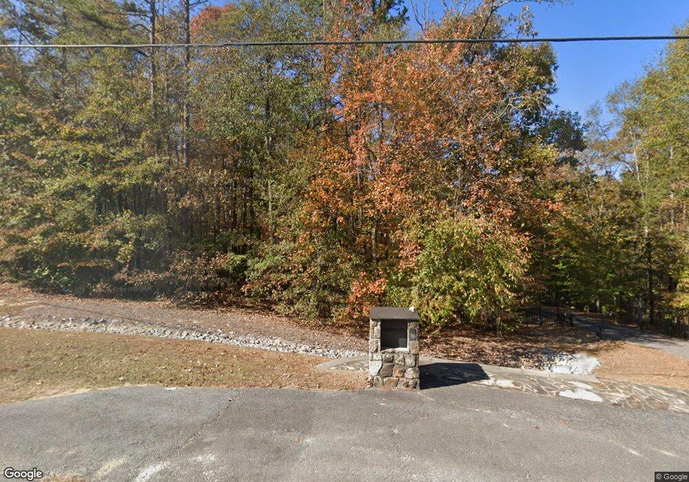
265 Davenport Rd Braselton, GA 30517
Estimated Value: $795,000 - $2,056,270
--
Bed
1
Bath
4,719
Sq Ft
$302/Sq Ft
Est. Value
About This Home
This home is located at 265 Davenport Rd, Braselton, GA 30517 and is currently estimated at $1,425,635, approximately $302 per square foot. 265 Davenport Rd is a home with nearby schools including West Jackson Elementary School, West Jackson Middle School, and Jackson County High School.
Ownership History
Date
Name
Owned For
Owner Type
Purchase Details
Closed on
Feb 14, 2017
Sold by
Perez Felipe
Bought by
Flowers Anthony L and Flowers Susan S
Current Estimated Value
Purchase Details
Closed on
Apr 30, 2009
Sold by
Galan Nick
Bought by
Galan Nick Co
Purchase Details
Closed on
Nov 17, 2006
Sold by
Galan Nick
Bought by
Galan Nick
Purchase Details
Closed on
Oct 18, 2004
Sold by
Titshaw Larry E
Bought by
Galan Nick
Purchase Details
Closed on
Dec 3, 2003
Sold by
Hosch Cheryl S
Bought by
Titshaw Larry E
Create a Home Valuation Report for This Property
The Home Valuation Report is an in-depth analysis detailing your home's value as well as a comparison with similar homes in the area
Home Values in the Area
Average Home Value in this Area
Purchase History
| Date | Buyer | Sale Price | Title Company |
|---|---|---|---|
| Flowers Anthony L | $62,000 | -- | |
| Galan Nick Co | $296,665 | -- | |
| Galan Family Trust | $296,700 | -- | |
| Galan Nick | -- | -- | |
| Galan Nick | $296,700 | -- | |
| Titshaw Larry E | $175,000 | -- |
Source: Public Records
Tax History Compared to Growth
Tax History
| Year | Tax Paid | Tax Assessment Tax Assessment Total Assessment is a certain percentage of the fair market value that is determined by local assessors to be the total taxable value of land and additions on the property. | Land | Improvement |
|---|---|---|---|---|
| 2024 | $15,515 | $687,112 | $127,800 | $559,312 |
| 2023 | $15,515 | $609,256 | $127,800 | $481,456 |
| 2022 | $11,961 | $442,976 | $63,880 | $379,096 |
| 2021 | $12,033 | $442,976 | $63,880 | $379,096 |
| 2020 | $9,374 | $332,256 | $63,880 | $268,376 |
| 2019 | $9,221 | $324,056 | $63,880 | $260,176 |
| 2018 | $8,937 | $312,504 | $63,880 | $248,624 |
| 2017 | $8,036 | $273,122 | $51,134 | $221,988 |
| 2016 | $9,301 | $267,349 | $45,361 | $221,988 |
| 2015 | $9,406 | $267,349 | $45,361 | $221,988 |
| 2014 | $2,954 | $85,718 | $45,361 | $40,357 |
| 2013 | -- | $46,509 | $45,472 | $1,036 |
Source: Public Records
Map
Nearby Homes
- 532 Davenport Rd
- 5068 Highway 53
- 0 Davenport Rd Unit 10583908
- 0 Davenport Rd Unit 16748330
- 53 Ednaville Rd
- 21 Duck Rd
- 6647 Hwy 53
- 6647 Highway 53
- 1384 Pocket Rd
- 1745 Liberty Park Dr
- 298 Fox Creek Dr
- 111 Horned Owl Ave
- 1316 Sunny Valley Ln
- 1406 Sunny Valley Ln
- 1390 Sunny Valley Ln
- 1420 Sunny Valley Ln
- 1450 Sunny Valley Ln
- 1359 Sunny Valley Ln
- 1415 Sunny Valley Ln
- 157 Davenport Rd
- 193 Davenport Rd
- 1171 Curk Roberts Rd
- 131 Davenport Rd
- 226 Davenport Rd
- 101 Davenport Rd
- 164 Davenport Rd
- 282 Arbor Trace
- 252 Arbor Trace Unit A
- 252 Arbor Trace
- 218 Arbor Trace
- 25 Davenport Rd
- 74 Davenport Rd
- 44 Viper Ln
- 283 Arbor Trace
- 196 Arbor Trace
- 140 Davenport Rd
- 247 Arbor Trace
- 273 Arbor Trace
- 172 Arbor Trace
