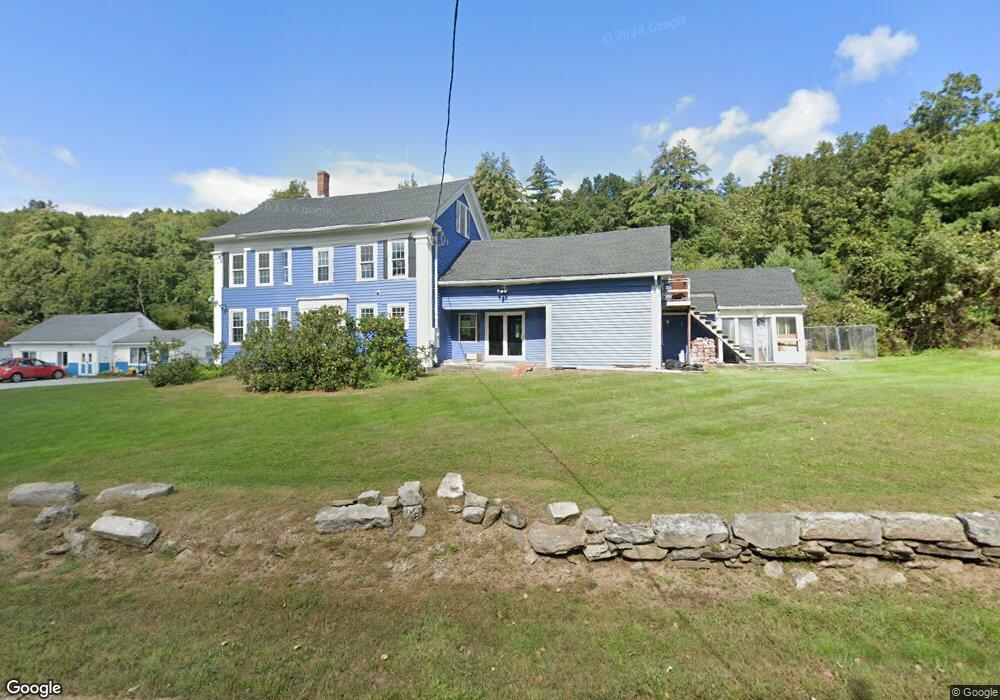
265 Dudley River Rd Southbridge, MA 01550
Estimated Value: $658,936
5
Beds
3
Baths
2,310
Sq Ft
$285/Sq Ft
Est. Value
About This Home
This home is located at 265 Dudley River Rd, Southbridge, MA 01550 and is currently estimated at $658,936, approximately $285 per square foot. 265 Dudley River Rd is a home located in Worcester County with nearby schools including Trinity Catholic Academy.
Ownership History
Date
Name
Owned For
Owner Type
Purchase Details
Closed on
Aug 11, 2008
Sold by
Stjean Paul J and Colognesi Theresa G
Bought by
Bove Pamela
Current Estimated Value
Home Financials for this Owner
Home Financials are based on the most recent Mortgage that was taken out on this home.
Original Mortgage
$235,000
Outstanding Balance
$155,443
Interest Rate
6.49%
Mortgage Type
Commercial
Estimated Equity
$503,493
Purchase Details
Closed on
Dec 17, 2007
Sold by
Stjean Marguerite A and Stjean Raymond A
Bought by
Stjean Raymond A
Purchase Details
Closed on
Mar 24, 2004
Sold by
Stjean Marguerite A and Stjean Raymond A
Bought by
Stjean Caron L and Stjean Paul J
Create a Home Valuation Report for This Property
The Home Valuation Report is an in-depth analysis detailing your home's value as well as a comparison with similar homes in the area
Home Values in the Area
Average Home Value in this Area
Purchase History
| Date | Buyer | Sale Price | Title Company |
|---|---|---|---|
| Bove Pamela | $300,000 | -- | |
| Stjean Raymond A | -- | -- | |
| Stjean Caron L | -- | -- |
Source: Public Records
Mortgage History
| Date | Status | Borrower | Loan Amount |
|---|---|---|---|
| Open | Bove Pamela | $235,000 |
Source: Public Records
Tax History Compared to Growth
Tax History
| Year | Tax Paid | Tax Assessment Tax Assessment Total Assessment is a certain percentage of the fair market value that is determined by local assessors to be the total taxable value of land and additions on the property. | Land | Improvement |
|---|---|---|---|---|
| 2025 | $6,261 | $427,100 | $62,500 | $364,600 |
| 2024 | $6,031 | $395,200 | $55,600 | $339,600 |
| 2023 | $5,804 | $366,400 | $55,600 | $310,800 |
| 2022 | $5,681 | $317,400 | $47,600 | $269,800 |
| 2021 | $5,470 | $281,400 | $47,600 | $233,800 |
| 2020 | $5,291 | $271,600 | $47,600 | $224,000 |
| 2018 | $5,142 | $247,800 | $43,600 | $204,200 |
| 2017 | $4,912 | $238,800 | $43,600 | $195,200 |
| 2016 | $4,826 | $238,800 | $43,600 | $195,200 |
| 2015 | $4,842 | $237,800 | $43,600 | $194,200 |
| 2014 | $4,670 | $237,800 | $43,600 | $194,200 |
Source: Public Records
Map
Nearby Homes
- 325 Ashland Ave Unit 10
- 325 Ashland Ave Unit 2
- 325 Ashland Ave Unit 12
- 0 Old North Woodstock Rd
- 768 Ashland Ave
- 6 Blackwell Dr
- 9 Piehl Dr
- 280 Dudley Southbridge Rd
- 0 Sandersdale Rd
- 4 W Dudley Rd
- 2 W Dudley Rd
- 112 Chestnut St
- 0 Brentwood Dr
- 51 Warren St
- 249 Dudley Southbridge Rd
- Lot 1A Sandersdale Rd
- Lot 3A Sandersdale Rd
- Lot 2A Sandersdale Rd
- 13 Coombs St
- 60 Guelphwood Rd
- 307 Dudley River Rd
- 119 Dudley River Rd
- 351 Dudley River Rd
- 117 Dudley River Rd
- 114 Dudley River Rd
- 6 Maynard Rd
- 6 Maynard Rd Unit 1
- 109 Dudley River Rd
- 1 Silvestri Rd
- 297 Ashland Ave Unit 23
- 297 Ashland Ave Unit 22
- 297 Ashland Ave Unit 21
- 297 Ashland Ave Unit 20
- 297 Ashland Ave Unit 19
- 297 Ashland Ave Unit 18
- 297 Ashland Ave Unit 17
- 297 Ashland Ave Unit 16
- 297 Ashland Ave Unit 15
- 297 Ashland Ave Unit 14
- 297 Ashland Ave Unit 13