265 Feezor Rd Mocksville, NC 27028
Estimated Value: $94,566 - $566,000
3
Beds
2
Baths
2,336
Sq Ft
$175/Sq Ft
Est. Value
About This Home
This home is located at 265 Feezor Rd, Mocksville, NC 27028 and is currently estimated at $407,642, approximately $174 per square foot. 265 Feezor Rd is a home located in Davie County with nearby schools including Mocksville Elementary School, South Davie Middle, and Davie County High School.
Ownership History
Date
Name
Owned For
Owner Type
Purchase Details
Closed on
Nov 12, 2024
Sold by
Gaddy James Q and Gaddy Edwina B
Bought by
Duke Energy Carolinas Llc
Current Estimated Value
Purchase Details
Closed on
Apr 13, 2010
Sold by
Harri Joseph C and Harri Deborah J
Bought by
Harris Optimists Limited Partnership Llc
Purchase Details
Closed on
Jan 1, 1989
Purchase Details
Closed on
Oct 1, 1900
Create a Home Valuation Report for This Property
The Home Valuation Report is an in-depth analysis detailing your home's value as well as a comparison with similar homes in the area
Home Values in the Area
Average Home Value in this Area
Purchase History
| Date | Buyer | Sale Price | Title Company |
|---|---|---|---|
| Duke Energy Carolinas Llc | -- | None Listed On Document | |
| Duke Energy Carolinas Llc | $90,000 | None Listed On Document | |
| Harris Optimists Limited Partnership Llc | -- | -- | |
| Harris Joseph C | -- | None Available | |
| -- | -- | -- | |
| -- | -- | -- |
Source: Public Records
Tax History Compared to Growth
Tax History
| Year | Tax Paid | Tax Assessment Tax Assessment Total Assessment is a certain percentage of the fair market value that is determined by local assessors to be the total taxable value of land and additions on the property. | Land | Improvement |
|---|---|---|---|---|
| 2025 | $732 | $106,330 | $17,320 | $89,010 |
| 2024 | $218 | $28,140 | $12,240 | $15,900 |
| 2023 | $218 | $28,140 | $12,240 | $15,900 |
| 2022 | $218 | $28,140 | $12,240 | $15,900 |
| 2021 | $218 | $28,140 | $12,240 | $15,900 |
| 2020 | $210 | $26,980 | $12,240 | $14,740 |
| 2019 | $210 | $26,980 | $12,240 | $14,740 |
| 2018 | $210 | $26,980 | $12,240 | $14,740 |
| 2017 | $207 | $26,980 | $0 | $0 |
| 2016 | $230 | $29,950 | $0 | $0 |
| 2015 | $230 | $29,950 | $0 | $0 |
| 2014 | $198 | $29,950 | $0 | $0 |
| 2013 | -- | $29,950 | $0 | $0 |
Source: Public Records
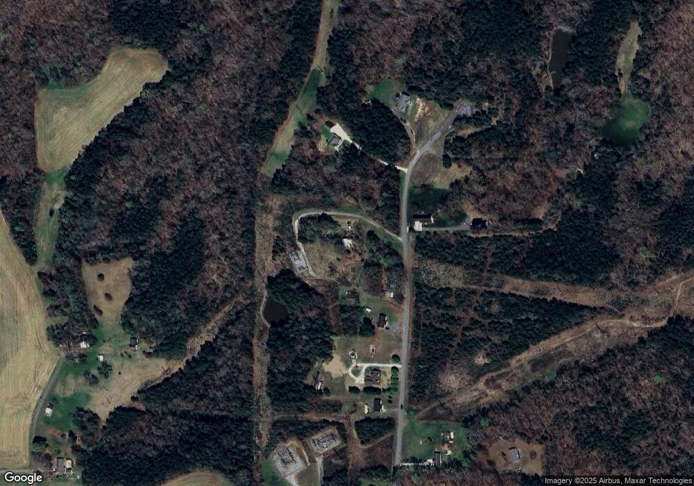
Map
Nearby Homes
- 115 New Hampshire Ct Unit 35
- 115 New Hampshire Ct
- LOT 66 N Carolina Cir
- LOT 13 N Carolina Cir
- LOT 62 N Carolina Cir
- 151 Birchwood Ln
- 181 New Hampshire Ct
- 210 Birchwood Ln
- 681 Sanford Ave
- LOT 47 Delaware Ct
- LOT 51 Delaware Ct
- LOT 35 Rhode Island Ct
- LOT 34 Rhode Island Ct
- LOT 33 Rhode Island Ct
- LOT 37 Rhode Island Ct
- LOT 31 Rhode Island Ct
- LOT 30 Rhode Island Ct
- LOT 27 Rhode Island Ct
- LOT 26 Rhode Island Ct
- LOT 54 Rhode Island Ct