265 Fireside Ridge Dr Dahlonega, GA 30533
Estimated Value: $508,000 - $781,000
4
Beds
6
Baths
4,700
Sq Ft
$129/Sq Ft
Est. Value
About This Home
This home is located at 265 Fireside Ridge Dr, Dahlonega, GA 30533 and is currently estimated at $605,040, approximately $128 per square foot. 265 Fireside Ridge Dr is a home located in Lumpkin County with nearby schools including Clay County Middle School and Lumpkin County High School.
Ownership History
Date
Name
Owned For
Owner Type
Purchase Details
Closed on
Mar 28, 2012
Sold by
Knapton Rory Lind
Bought by
Miller Brian Y and Miller Judy
Current Estimated Value
Purchase Details
Closed on
Feb 29, 2012
Sold by
Knapton Joyce
Bought by
Knapton Rory Knapton
Purchase Details
Closed on
Sep 16, 2003
Sold by
Knapton Rory Lind
Bought by
Knapton Rory Lind and Knapton Joyce E
Purchase Details
Closed on
Jun 11, 1998
Sold by
Knapton Rory Lind
Bought by
Knapton Rory Lind
Purchase Details
Closed on
Feb 25, 1997
Sold by
Knapton Rory Lind
Bought by
Knapton Rory Lind
Purchase Details
Closed on
Oct 1, 1986
Bought by
Knapton Rory Lind
Create a Home Valuation Report for This Property
The Home Valuation Report is an in-depth analysis detailing your home's value as well as a comparison with similar homes in the area
Home Values in the Area
Average Home Value in this Area
Purchase History
| Date | Buyer | Sale Price | Title Company |
|---|---|---|---|
| Miller Brian Y | $325,000 | -- | |
| Knapton Rory Knapton | -- | -- | |
| Knapton Rory Lind | $12,000 | -- | |
| Knapton Rory Lind | -- | -- | |
| Knapton Rory Lind | -- | -- | |
| Knapton Rory Lind | -- | -- |
Source: Public Records
Tax History Compared to Growth
Tax History
| Year | Tax Paid | Tax Assessment Tax Assessment Total Assessment is a certain percentage of the fair market value that is determined by local assessors to be the total taxable value of land and additions on the property. | Land | Improvement |
|---|---|---|---|---|
| 2024 | $4,094 | $174,138 | $17,616 | $156,522 |
| 2023 | $3,809 | $161,929 | $14,680 | $147,249 |
| 2022 | $3,634 | $146,783 | $11,744 | $135,039 |
| 2021 | $3,244 | $126,719 | $11,744 | $114,975 |
| 2020 | $3,271 | $124,002 | $11,744 | $112,258 |
| 2019 | $3,301 | $124,002 | $11,744 | $112,258 |
| 2018 | $3,125 | $110,149 | $11,744 | $98,405 |
| 2017 | $3,065 | $105,962 | $11,744 | $94,218 |
| 2016 | $2,965 | $99,135 | $11,744 | $87,391 |
| 2015 | $2,647 | $99,135 | $11,744 | $87,391 |
| 2014 | $2,647 | $100,420 | $11,744 | $88,676 |
| 2013 | -- | $102,775 | $11,744 | $91,031 |
Source: Public Records
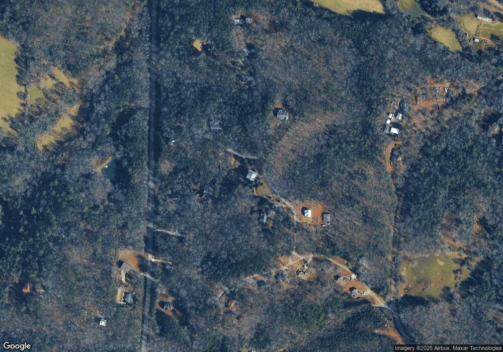
Map
Nearby Homes
- 412 Fireside Ridge Dr
- 748 Damascus Church Rd
- 2717 Damascus Church Rd
- 133 Elkmont Dr
- 134 Elkmont Dr
- 124 Candy Man Ln
- 0 Damascus Church Rd Unit 21674636
- 180 Alonzo Cain Rd
- 0 Horseshoe Bend Rd Unit 10571975
- 0 Horseshoe Bend Rd Unit 7620338
- 925 Horseshoe Bend Rd
- 529 Eden Cir
- 31 Pine Rd
- 0 Stancil Dyer Rd Unit 10656125
- 11161 Highway 19 N
- 129 Pine Rd
- 0 Paradise Valley Rd Unit 10468779
- 0 Ts Jarrard Rd Unit Tract 3
- 00 Paradise Valley Rd
- 265 Hound Dog Ln
- 3 Morningstar Ln Unit C3
- C3 Morningstar Ln
- 0 Morningstar Ln Unit 2987592
- 0 Morningstar Ln Unit C2 7244379
- 0 Morningstar Ln Unit C 8004183
- 0 Morningstar Ln Unit C3 8061413
- 0 Morningstar Ln
- F4 Fireside Ridge
- F4 Fireside Ridge Rd
- 223 Fireside Ridge Dr
- 0 Morning Star Ln Unit C2 8383958
- 0 Morning Star Ln Unit Lot C3 8823355
- 0 Morning Star Ln Unit 8819376
- 0 Morning Star Ln Unit 8714024
- 0 Morning Star Ln Unit 6662316
- 0 Morning Star Ln Unit C3 8693710
- 0 Morning Star Ln Unit 8568503
- 0 Morning Star Ln Unit 6538872
- 0 Morning Star Ln Unit Lot C2 8559997
- 0 Morning Star Ln Unit Lot C3 8552143