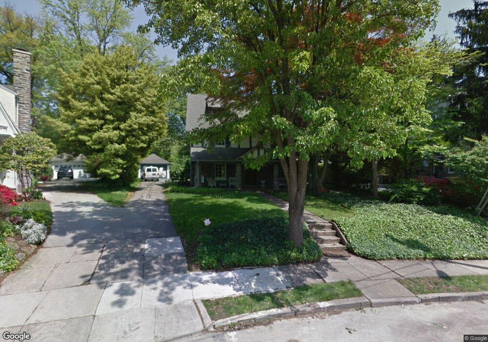
265 Forrest Rd Merion Station, PA 19066
Estimated Value: $1,319,139 - $1,619,000
5
Beds
3
Baths
3,378
Sq Ft
$424/Sq Ft
Est. Value
About This Home
This home is located at 265 Forrest Rd, Merion Station, PA 19066 and is currently estimated at $1,431,785, approximately $423 per square foot. 265 Forrest Rd is a home located in Montgomery County with nearby schools including Merion Elementary School, Bala-Cynwyd Middle School, and Lower Merion High School.
Ownership History
Date
Name
Owned For
Owner Type
Purchase Details
Closed on
Nov 29, 2011
Sold by
Corson Lise and Corson Jeffrey
Bought by
Sinai Todd and Guthrie Susan
Current Estimated Value
Home Financials for this Owner
Home Financials are based on the most recent Mortgage that was taken out on this home.
Original Mortgage
$720,000
Outstanding Balance
$492,529
Interest Rate
4.01%
Estimated Equity
$939,256
Purchase Details
Closed on
Jan 12, 2000
Sold by
Linette Gerald P and Linette Mary B
Bought by
Corson Jeffrey and Corson Lise
Create a Home Valuation Report for This Property
The Home Valuation Report is an in-depth analysis detailing your home's value as well as a comparison with similar homes in the area
Home Values in the Area
Average Home Value in this Area
Purchase History
| Date | Buyer | Sale Price | Title Company |
|---|---|---|---|
| Sinai Todd | $900,000 | None Available | |
| Corson Jeffrey | $430,000 | -- |
Source: Public Records
Mortgage History
| Date | Status | Borrower | Loan Amount |
|---|---|---|---|
| Open | Sinai Todd | $720,000 |
Source: Public Records
Tax History Compared to Growth
Tax History
| Year | Tax Paid | Tax Assessment Tax Assessment Total Assessment is a certain percentage of the fair market value that is determined by local assessors to be the total taxable value of land and additions on the property. | Land | Improvement |
|---|---|---|---|---|
| 2025 | $14,828 | $355,060 | $107,310 | $247,750 |
| 2024 | $14,828 | $355,060 | $107,310 | $247,750 |
| 2023 | $14,209 | $355,060 | $107,310 | $247,750 |
| 2022 | $13,947 | $355,060 | $107,310 | $247,750 |
| 2021 | $13,629 | $355,060 | $107,310 | $247,750 |
| 2020 | $13,296 | $355,060 | $107,310 | $247,750 |
| 2019 | $13,061 | $355,060 | $107,310 | $247,750 |
| 2018 | $13,061 | $355,060 | $107,310 | $247,750 |
| 2017 | $12,582 | $355,060 | $107,310 | $247,750 |
| 2016 | $12,443 | $355,060 | $107,310 | $247,750 |
| 2015 | $11,602 | $355,060 | $107,310 | $247,750 |
| 2014 | $11,602 | $355,060 | $107,310 | $247,750 |
Source: Public Records
Map
Nearby Homes
- 662 S Highland Ave
- 156 Idris Rd
- 6380 City Ave
- 415 Parkview Dr
- 421 Parkview Dr
- 146 Merion Ave
- 142 Merion Ave
- 122 Merion Ave
- 410 E Wynnewood Rd
- 415 City Ave Unit I-2
- 415 City Ave Unit H2
- 1001 City Ave Unit EC707
- 1001 City Ave Unit EE1026
- 1001 City Ave Unit W-811
- 1001 City Ave Unit W-617
- 1001 City Ave Unit EC206
- 1001 City Ave Unit W-801
- 1001 City Ave Unit W-418
- 1001 City Ave Unit E-1107
- 1001 City Ave Unit EC107
- 261 Forrest Rd Unit 87
- 271 Forrest Rd
- 725 S Highland Ave
- 277 Forrest Rd
- 253 Forrest Rd
- 264 Forrest Rd
- 283 Forrest Rd
- 739 S Highland Ave
- 274 Forrest Rd
- 711 S Highland Ave Unit 93
- 249 Forrest Rd
- 224 Matthew Rd
- 224 Mathew Rd
- 705 S Highland Ave
- 282 Forrest Rd
- 220 Mathew Rd
- 749 S Highland Ave
- 700 Hazelhurst Ave
- 254 Forrest Rd
- 706 Hazelhurst Ave