265 Gordon Rd Commerce, GA 30530
Estimated Value: $305,695 - $328,000
4
Beds
2
Baths
1,680
Sq Ft
$190/Sq Ft
Est. Value
About This Home
This home is located at 265 Gordon Rd, Commerce, GA 30530 and is currently estimated at $318,674, approximately $189 per square foot. 265 Gordon Rd is a home located in Banks County with nearby schools including Banks County Primary School, Banks County Elementary School, and Banks County Middle School.
Ownership History
Date
Name
Owned For
Owner Type
Purchase Details
Closed on
Jun 21, 2024
Sold by
Stout Eva
Bought by
Gordon Joshua
Current Estimated Value
Purchase Details
Closed on
Sep 4, 2021
Sold by
Barnett Ashley L
Bought by
Gordon Eva M and Gordon Joshua A
Purchase Details
Closed on
Sep 1, 2021
Sold by
Wyler Andrea F
Bought by
Gordon Eva M and Barnett Ashley L
Purchase Details
Closed on
Mar 5, 2014
Sold by
Gordon Eddie H
Bought by
Gordon Joshua A and Wyler Andrea F
Create a Home Valuation Report for This Property
The Home Valuation Report is an in-depth analysis detailing your home's value as well as a comparison with similar homes in the area
Home Values in the Area
Average Home Value in this Area
Purchase History
| Date | Buyer | Sale Price | Title Company |
|---|---|---|---|
| Gordon Joshua | -- | -- | |
| Gordon Eva M | -- | -- | |
| Gordon Eva M | -- | -- | |
| Gordon Joshua A | -- | -- |
Source: Public Records
Tax History
| Year | Tax Paid | Tax Assessment Tax Assessment Total Assessment is a certain percentage of the fair market value that is determined by local assessors to be the total taxable value of land and additions on the property. | Land | Improvement |
|---|---|---|---|---|
| 2025 | $1,979 | $103,669 | $6,638 | $97,031 |
| 2024 | $1,979 | $98,620 | $6,034 | $92,586 |
| 2023 | $1,904 | $76,980 | $5,687 | $71,293 |
| 2022 | $1,398 | $68,533 | $5,687 | $62,846 |
| 2021 | $1,356 | $62,693 | $3,792 | $58,901 |
| 2020 | $1,188 | $53,805 | $3,186 | $50,619 |
| 2019 | $1,194 | $53,805 | $3,186 | $50,619 |
| 2018 | $1,108 | $49,287 | $2,451 | $46,836 |
| 2017 | $1,042 | $44,631 | $2,131 | $42,500 |
| 2016 | $1,072 | $44,631 | $2,131 | $42,500 |
| 2015 | $1,047 | $44,631 | $2,131 | $42,500 |
| 2014 | $1,047 | $46,388 | $3,888 | $42,500 |
| 2013 | -- | $46,388 | $3,888 | $42,500 |
Source: Public Records
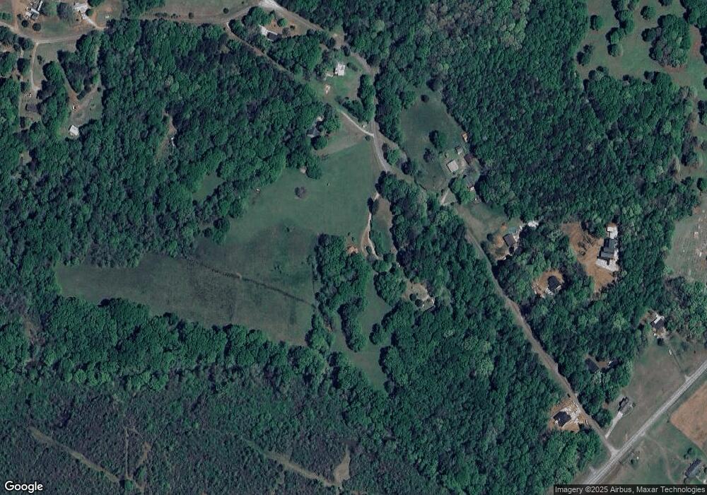
Map
Nearby Homes
- 119 Gordon Rd
- 2015 Highway 59
- 333 Sims Bridge Rd
- 144 Chestnut Trail
- 112 White Oak Trail
- 150 Buckeye Trails Dr
- 135 Horseshoe Trail
- 166 Freedom Ln
- 0 Freedom Ln Unit 9B
- 0 Freedom Ln Unit 18C 10380663
- 0 Freedom Ln Unit 9D
- 0 Freedom Ln Unit 9C
- 0 Freedom Ln Unit 18B 10379747
- 0 Freedom Ln Unit 9E
- 153 Buckeye Trails Dr
- 150 Harden Bridge Rd
- 0 McDonald Cir Unit 7694829
- 0 Eisenhower Dr
- 0 Lord Road -Tract 6
- 224 Hebron Rd
- 267 Gordon Rd
- 267 Gordon Rd
- 311 Gordon Rd
- 236 Gordon Rd
- 184 Gordon Rd
- 335 Gordon Rd
- 130 Gordon Rd
- 122 Gordon Rd
- 104 Gordon Rd
- 1587 Georgia 59 Unit 2.5AC
- 1587 Georgia 59
- 1587 Highway 59 Unit 2.5AC
- 1587 Highway 59
- 403 Gordon Rd
- 213 Stevens Rd
- 0 Gordon Rd Unit 8443603
- 0 Gordon Rd Unit 3223451
- 0 Gordon Rd Unit 3223126
- 0 Gordon Rd Unit 7021187
- 0 Gordon Rd Unit TRCT 4 7021138
Your Personal Tour Guide
Ask me questions while you tour the home.