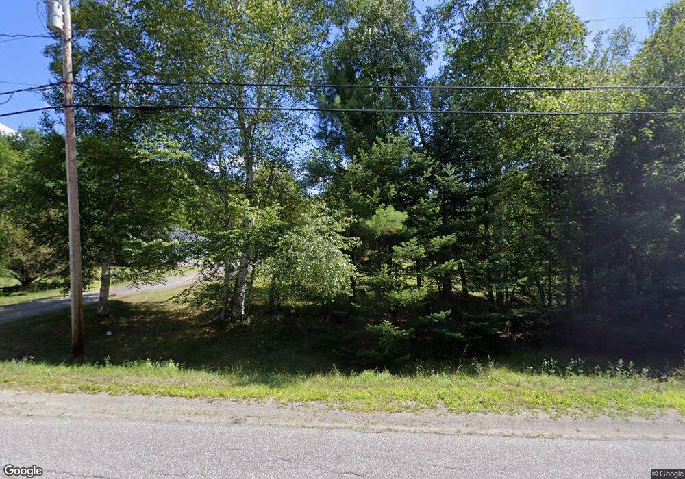
265 Grant Rd Saint Albans, ME 04971
Estimated Value: $235,000 - $281,000
3
Beds
2
Baths
--
Sq Ft
2.6
Acres
About This Home
This home is located at 265 Grant Rd, Saint Albans, ME 04971 and is currently estimated at $257,458. 265 Grant Rd is a home located in Somerset County with nearby schools including St Albans Consolidated, Somerset Elementary School, and Nokomis Regional Middle School/High School.
Ownership History
Date
Name
Owned For
Owner Type
Purchase Details
Closed on
Jun 9, 2014
Sold by
Groskranz Edward F and Groskranz Fallie J
Bought by
Groskranz Edward F and Groskranz Fallie J
Current Estimated Value
Home Financials for this Owner
Home Financials are based on the most recent Mortgage that was taken out on this home.
Original Mortgage
$280,500
Outstanding Balance
$203,321
Interest Rate
3%
Mortgage Type
Reverse Mortgage Home Equity Conversion Mortgage
Estimated Equity
$54,137
Purchase Details
Closed on
Oct 21, 2005
Sold by
Neal Darrell K and Neal Ethel S
Bought by
Groskranz Edward F and Groskranz Fallie J
Create a Home Valuation Report for This Property
The Home Valuation Report is an in-depth analysis detailing your home's value as well as a comparison with similar homes in the area
Home Values in the Area
Average Home Value in this Area
Purchase History
| Date | Buyer | Sale Price | Title Company |
|---|---|---|---|
| Groskranz Edward F | -- | -- | |
| Groskranz Edward F | -- | -- |
Source: Public Records
Mortgage History
| Date | Status | Borrower | Loan Amount |
|---|---|---|---|
| Open | Groskranz Edward F | $280,500 |
Source: Public Records
Tax History Compared to Growth
Tax History
| Year | Tax Paid | Tax Assessment Tax Assessment Total Assessment is a certain percentage of the fair market value that is determined by local assessors to be the total taxable value of land and additions on the property. | Land | Improvement |
|---|---|---|---|---|
| 2022 | $1,930 | $115,200 | $22,800 | $92,400 |
| 2021 | $1,930 | $115,200 | $22,800 | $92,400 |
| 2020 | $1,930 | $115,200 | $22,800 | $92,400 |
| 2019 | $1,930 | $115,200 | $22,800 | $92,400 |
| 2018 | $1,895 | $115,200 | $22,800 | $92,400 |
| 2017 | $1,903 | $116,400 | $22,800 | $93,600 |
| 2016 | $2,335 | $105,200 | $13,300 | $91,900 |
| 2015 | $2,136 | $105,200 | $13,300 | $91,900 |
| 2012 | $1,987 | $109,200 | $13,300 | $95,900 |
Source: Public Records
Map
Nearby Homes
- TBD Ballard Rd
- 3 Estate Dr
- 230 Todds Corner Rd
- M11 Loon Ln
- 40 Orchard Dr
- Lot #86-3 Martin Rd
- TBD Woodcock Rd
- 00 Ross Hill Rd
- 355 Melody Ln
- PO72,P090 Cotta Lane & Rt 43
- TBD Dexter Rd
- 23 Dexter Rd
- Lot 42 Grandview Rd
- 78 Cyrs Siding Rd
- 19 Mason Corner Rd
- 75 Twin Oaks Dr
- 172 W Ripley Rd
- 56 Sevey Rd
- M9 L7 Finson Rd
- 4 Main St
- 0 N Cooley Rd Unit 652947
- 0 N Cooley Rd Unit 1006853
- 271 Grant Rd
- 299 Grant Rd
- 255 Grant Rd
- 268 Grant Rd
- 274 Grant Rd
- 256 Grant Rd
- 245 Grant Rd
- 22 S Cooley Rd
- 9 S Cooley Rd
- 26 S Cooley
- 303 Grant Rd
- 21 S Cooley Rd
- 165 Grant Rd
- 319 Grant Rd
- 321 Grant Rd
- 0 Grant Rd
- 197 Grant Rd
- 7 Ballard Rd (Whispering Brook)
