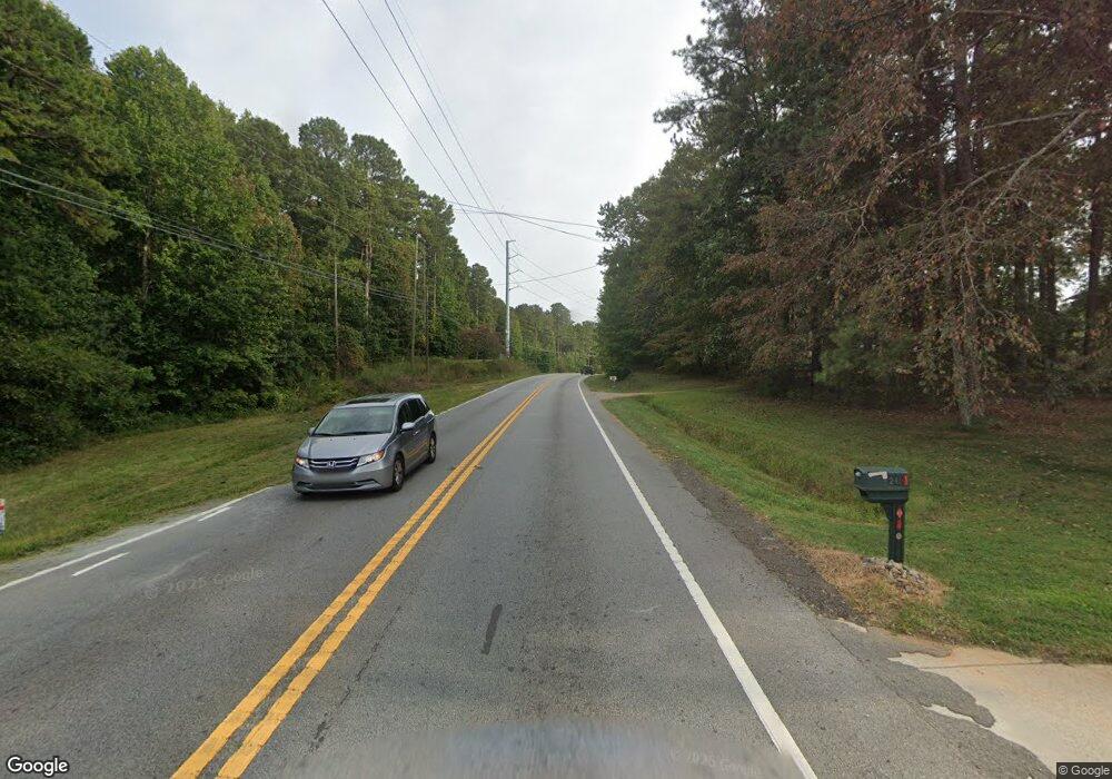
265 Hiram Acworth Hwy Dallas, GA 30157
West Cobb NeighborhoodEstimated Value: $282,000
--
Bed
--
Bath
--
Sq Ft
5.5
Acres
About This Home
This home is located at 265 Hiram Acworth Hwy, Dallas, GA 30157 and is currently estimated at $282,000. 265 Hiram Acworth Hwy is a home located in Cobb County with nearby schools including Vaughan Elementary School, Lost Mountain Middle School, and Harrison High School.
Ownership History
Date
Name
Owned For
Owner Type
Purchase Details
Closed on
Sep 7, 2023
Sold by
Cranshaw John Paul and Cranshaw Vaughn H
Bought by
Mcdonald Matthew Ray and Mcdonald Melissa Rose
Current Estimated Value
Home Financials for this Owner
Home Financials are based on the most recent Mortgage that was taken out on this home.
Original Mortgage
$722,322
Outstanding Balance
$707,998
Interest Rate
6.9%
Mortgage Type
Construction
Estimated Equity
-$425,998
Create a Home Valuation Report for This Property
The Home Valuation Report is an in-depth analysis detailing your home's value as well as a comparison with similar homes in the area
Home Values in the Area
Average Home Value in this Area
Purchase History
| Date | Buyer | Sale Price | Title Company |
|---|---|---|---|
| Mcdonald Matthew Ray | $275,000 | None Listed On Document | |
| Cranshaw John Paul | -- | None Listed On Document | |
| Cranshaw Vaughn H | -- | None Listed On Document |
Source: Public Records
Mortgage History
| Date | Status | Borrower | Loan Amount |
|---|---|---|---|
| Open | Mcdonald Matthew Ray | $722,322 |
Source: Public Records
Tax History Compared to Growth
Tax History
| Year | Tax Paid | Tax Assessment Tax Assessment Total Assessment is a certain percentage of the fair market value that is determined by local assessors to be the total taxable value of land and additions on the property. | Land | Improvement |
|---|---|---|---|---|
| 2024 | $3,317 | $110,000 | $110,000 | -- |
| 2023 | $3,715 | $123,204 | $123,204 | $0 |
| 2022 | $2,991 | $98,564 | $98,564 | $0 |
| 2021 | $2,991 | $98,564 | $98,564 | $0 |
| 2020 | $2,448 | $80,644 | $80,644 | $0 |
| 2019 | $2,448 | $80,644 | $80,644 | $0 |
| 2018 | $2,244 | $73,924 | $73,924 | $0 |
| 2017 | $2,125 | $73,924 | $73,924 | $0 |
| 2016 | $1,675 | $58,244 | $58,244 | $0 |
| 2015 | $1,650 | $56,004 | $56,004 | $0 |
| 2014 | $1,664 | $56,004 | $0 | $0 |
Source: Public Records
Map
Nearby Homes
- 5940 Seven Oaks Dr
- 301 Kensley Dr
- 80 Brooks Ln
- 126 Cartee Ln
- 247 Rockledge Bend SW
- 260 Rockledge Bend SW
- 276 Rockledge Bend SW
- 284 Rockledge Bend SW
- 288 Rockledge Bend SW
- 306 Rockledge Bend SW
- 280 Rockledge Bend SW
- 292 Rockledge Bend SW
- 3518 E Paulding Dr
- 5902 Cook Rd
- 271 Brooks Rackley Rd
- 54 Mildred Ct
- 5954 Henley Dr
- 121 Meryton Dr
- 123 Meryton Dr
- 119 Meryton Dr
- 6302 Meryton Park
- 275 Hiram Acworth Hwy SW
- 117 Meryton Dr
- 6301 Meryton Park
- 122 Meryton Dr
- 118 Meryton Dr
- 253 Hiram Acworth Hwy SW
- 115 Meryton Dr
- 126 Meryton Dr
- 230 Meryton Cir
- 0 Meryton Cir
- 295 Hiram Acworth Hwy SW
- 201 Meryton Cir
- 130 Meryton Dr
- 113 Meryton Dr
- 244 Hiram Acworth Hwy SW
- 0 Highway 92 Hiram Acworth Hwy Unit 7405093
