265 John Redding Rd Cedartown, GA 30125
Estimated Value: $320,000 - $558,422
2
Beds
2
Baths
2,436
Sq Ft
$165/Sq Ft
Est. Value
About This Home
This home is located at 265 John Redding Rd, Cedartown, GA 30125 and is currently estimated at $403,141, approximately $165 per square foot. 265 John Redding Rd is a home located in Polk County.
Ownership History
Date
Name
Owned For
Owner Type
Purchase Details
Closed on
Sep 9, 1987
Sold by
Strickland Katie M
Bought by
Hatch Bryan and Hatch Kim
Current Estimated Value
Purchase Details
Closed on
Jul 10, 1987
Sold by
Strickland Katie M
Bought by
Hatch Bryan L and Hatch Kim
Purchase Details
Closed on
Jul 11, 1986
Sold by
Benefield William C
Bought by
Strickland Katie M
Purchase Details
Closed on
Jun 16, 1986
Sold by
Dooley W Don
Bought by
Benefield William C
Purchase Details
Closed on
May 15, 1975
Sold by
Burnett Walda B
Bought by
Dooley W Don
Purchase Details
Closed on
May 6, 1975
Sold by
Burnett Burnett W and Burnett George
Bought by
Burnett Walda B
Purchase Details
Closed on
Oct 7, 1957
Bought by
Burnett Burnett W and Burnett George
Create a Home Valuation Report for This Property
The Home Valuation Report is an in-depth analysis detailing your home's value as well as a comparison with similar homes in the area
Home Values in the Area
Average Home Value in this Area
Purchase History
| Date | Buyer | Sale Price | Title Company |
|---|---|---|---|
| Hatch Bryan | -- | -- | |
| Hatch Bryan L | $35,000 | -- | |
| Strickland Katie M | -- | -- | |
| Benefield William C | -- | -- | |
| Dooley W Don | -- | -- | |
| Burnett Walda B | -- | -- | |
| Burnett Burnett W | -- | -- |
Source: Public Records
Tax History Compared to Growth
Tax History
| Year | Tax Paid | Tax Assessment Tax Assessment Total Assessment is a certain percentage of the fair market value that is determined by local assessors to be the total taxable value of land and additions on the property. | Land | Improvement |
|---|---|---|---|---|
| 2024 | $2,920 | $169,128 | $40,510 | $128,618 |
| 2023 | $2,284 | $126,001 | $40,510 | $85,491 |
| 2022 | $2,015 | $110,039 | $35,322 | $74,717 |
| 2021 | $2,034 | $110,039 | $35,322 | $74,717 |
| 2020 | $2,031 | $110,039 | $35,322 | $74,717 |
| 2019 | $2,132 | $105,383 | $35,322 | $70,061 |
| 2018 | $2,036 | $100,142 | $35,322 | $64,820 |
| 2017 | $2,003 | $100,142 | $35,322 | $64,820 |
| 2016 | $1,830 | $94,639 | $35,324 | $59,315 |
| 2015 | $1,872 | $96,184 | $35,324 | $60,861 |
| 2014 | $1,865 | $97,265 | $34,120 | $63,145 |
Source: Public Records
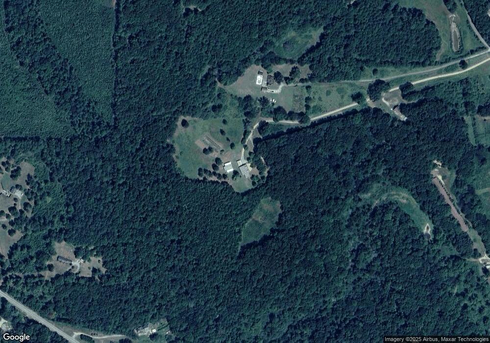
Map
Nearby Homes
- 148 Persons Rd
- 323 Mountain Home Rd
- 1849 Prior Station Rd Unit 77.57 ACRES
- 1849 Prior Station Rd
- 0 Mountain Home Rd Unit 1020-B 10351940
- 0 Mountain Home Rd Unit 1020-C 10351948
- 0 Mountain Home Rd Unit 1020-A 10351930
- 374 Seab Green Rd
- 424 Michael Blvd
- 820 Potash Rd
- 35 Harris Loop
- 383 Valley Grove Rd
- 1200 N Cave Spring St
- 0 Cave Spring Rd Unit 10631588
- 0 Cave Spring Rd Unit 7671027
- 39 Summerwind Dr
- 100 Lee Ave
- 208 Silverthorn Way
- 0 Old Potash Rd Unit 7675402
- 0 Old Potash Rd Unit 10636176
- 275 John Redding Rd
- 261 John Redding Rd
- 1234 Mountain Home Rd
- 1290 Mountain Home Rd
- 365 John Redding Rd
- 1162 Mountain Home Rd
- 1320 Mountain Home Rd
- 1340 Mountain Home Rd
- 369 John Redding Rd
- 1034 Mountain Home Rd
- 209 John Redding Rd
- 111 John Redding Rd
- 1185 Mountain Home Rd
- 1285 Mountain Home Rd
- 1025 Mountain Home Rd
- 1346 Mountain Home Rd
- 274 John Redding Rd
- 322 John Redding Rd
- 1319 Mountain Home Rd
- 114 John Redding Rd