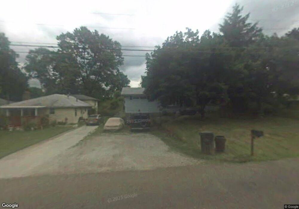
265 Klinger Ave Alliance, OH 44601
Estimated Value: $112,000 - $229,000
3
Beds
2
Baths
1,024
Sq Ft
$155/Sq Ft
Est. Value
About This Home
This home is located at 265 Klinger Ave, Alliance, OH 44601 and is currently estimated at $158,333, approximately $154 per square foot. 265 Klinger Ave is a home located in Stark County with nearby schools including Alliance Early Learning School, Alliance Intermediate School at Northside, and Alliance Middle School.
Ownership History
Date
Name
Owned For
Owner Type
Purchase Details
Closed on
Mar 18, 2005
Sold by
Brooks Jonathan E and Brooks Ruth Ann
Bought by
Brooks Jonathan E and Brooks Ruth Ann
Current Estimated Value
Home Financials for this Owner
Home Financials are based on the most recent Mortgage that was taken out on this home.
Original Mortgage
$71,200
Outstanding Balance
$37,025
Interest Rate
6%
Mortgage Type
Stand Alone Refi Refinance Of Original Loan
Estimated Equity
$121,308
Purchase Details
Closed on
Jul 15, 1994
Sold by
Milton Allen W
Bought by
Brooks Jonathan E and Brooks Ruth
Home Financials for this Owner
Home Financials are based on the most recent Mortgage that was taken out on this home.
Original Mortgage
$42,912
Interest Rate
8.6%
Mortgage Type
FHA
Purchase Details
Closed on
Apr 12, 1991
Create a Home Valuation Report for This Property
The Home Valuation Report is an in-depth analysis detailing your home's value as well as a comparison with similar homes in the area
Home Values in the Area
Average Home Value in this Area
Purchase History
| Date | Buyer | Sale Price | Title Company |
|---|---|---|---|
| Brooks Jonathan E | -- | -- | |
| Brooks Jonathan E | $42,500 | -- | |
| -- | $35,300 | -- |
Source: Public Records
Mortgage History
| Date | Status | Borrower | Loan Amount |
|---|---|---|---|
| Open | Brooks Jonathan E | $71,200 | |
| Closed | Brooks Jonathan E | $42,912 | |
| Closed | Brooks Jonathan E | $13,300 |
Source: Public Records
Tax History
| Year | Tax Paid | Tax Assessment Tax Assessment Total Assessment is a certain percentage of the fair market value that is determined by local assessors to be the total taxable value of land and additions on the property. | Land | Improvement |
|---|---|---|---|---|
| 2025 | -- | $4,520 | $4,520 | -- |
| 2024 | -- | $4,520 | $4,520 | -- |
| 2023 | $114 | $2,770 | $2,770 | -- |
| 2022 | $115 | $2,770 | $2,770 | $0 |
| 2021 | $112 | $2,770 | $2,770 | $0 |
| 2020 | $493 | $11,380 | $4,520 | $6,860 |
| 2019 | $486 | $11,380 | $4,520 | $6,860 |
Source: Public Records
Map
Nearby Homes
- 347 Buckeye Ave
- 432 Johnson Ave
- 550 Johnson Ave
- 160 Bonnieview Ave
- 000 Meadowbrook Ave
- 664 Fairview Place
- 0 W Main St Unit 5090123
- 479 W High St
- 118 S Mckinley Ave
- 0 Meadowbrook Ave
- 264 W Market St
- 535 S Mckinley Ave
- 11335 Meadowbrook Ave NE
- 717 Garfield Ave
- 171 1/2 W Main St
- 0 Homestead Ave NE
- 1044 Glamorgan St
- 870 Parkway Blvd
- 228 W Oxford St
- 621 S Haines Ave
- 275 Klinger Ave
- 285 Klinger Ave
- 235 Klinger Ave
- 295 Klinger Ave
- 1183 Harrisburg Rd
- 1167 W Ely St
- 1311 Beeson St NE
- 307 Klinger Ave
- 236 Klinger Ave
- 1165 Harrisburg Rd
- 317 Klinger Ave
- 1325 Beeson St NE
- 1345 Beeson St NE
- 1165 W Ely St
- 1334 Beeson St NE
- 1355 Beeson St NE
- 1342 Beeson St NE
- 1385 Beeson St NE
- 330 Buckeye Ave
- 1100 W Ely St
Your Personal Tour Guide
Ask me questions while you tour the home.