265 Lane Rd Colquitt, GA 39837
Estimated Value: $226,000 - $431,194
2
Beds
2
Baths
2,273
Sq Ft
$137/Sq Ft
Est. Value
About This Home
This home is located at 265 Lane Rd, Colquitt, GA 39837 and is currently estimated at $311,398, approximately $136 per square foot. 265 Lane Rd is a home located in Miller County with nearby schools including Miller County Elementary School, Miller County Middle School, and Miller County High School.
Ownership History
Date
Name
Owned For
Owner Type
Purchase Details
Closed on
May 28, 2021
Sold by
Kirkland Joan Lane
Bought by
Miller Benjamin Lee and Miller Jara Lane
Current Estimated Value
Purchase Details
Closed on
Sep 12, 2003
Sold by
Kirkland Ralph T and Kirkland Oan L
Bought by
Kirkland Ralph T and Kirkland Joan L
Purchase Details
Closed on
Mar 25, 2000
Sold by
Lane Ronnie Joe and Kirkland Joan L
Bought by
Kirkland Ralph T
Create a Home Valuation Report for This Property
The Home Valuation Report is an in-depth analysis detailing your home's value as well as a comparison with similar homes in the area
Home Values in the Area
Average Home Value in this Area
Purchase History
| Date | Buyer | Sale Price | Title Company |
|---|---|---|---|
| Miller Benjamin Lee | $2,500 | -- | |
| Kirkland Ralph T | -- | -- | |
| Kirkland Ralph T | -- | -- |
Source: Public Records
Tax History Compared to Growth
Tax History
| Year | Tax Paid | Tax Assessment Tax Assessment Total Assessment is a certain percentage of the fair market value that is determined by local assessors to be the total taxable value of land and additions on the property. | Land | Improvement |
|---|---|---|---|---|
| 2024 | $3,168 | $119,252 | $38,972 | $80,280 |
| 2023 | $2,951 | $101,292 | $38,972 | $62,320 |
| 2022 | $2,803 | $92,253 | $38,972 | $53,281 |
| 2021 | $2,680 | $92,253 | $38,972 | $53,281 |
| 2020 | $2,661 | $92,253 | $38,972 | $53,281 |
| 2019 | $2,650 | $92,253 | $38,972 | $53,281 |
| 2018 | $3,402 | $92,253 | $38,972 | $53,281 |
| 2017 | $3,402 | $92,253 | $38,972 | $53,281 |
| 2016 | $2,609 | $94,604 | $38,972 | $55,632 |
| 2015 | -- | $73,127 | $22,884 | $50,242 |
| 2014 | -- | $73,127 | $22,884 | $50,242 |
| 2013 | -- | $70,088 | $19,846 | $50,242 |
Source: Public Records
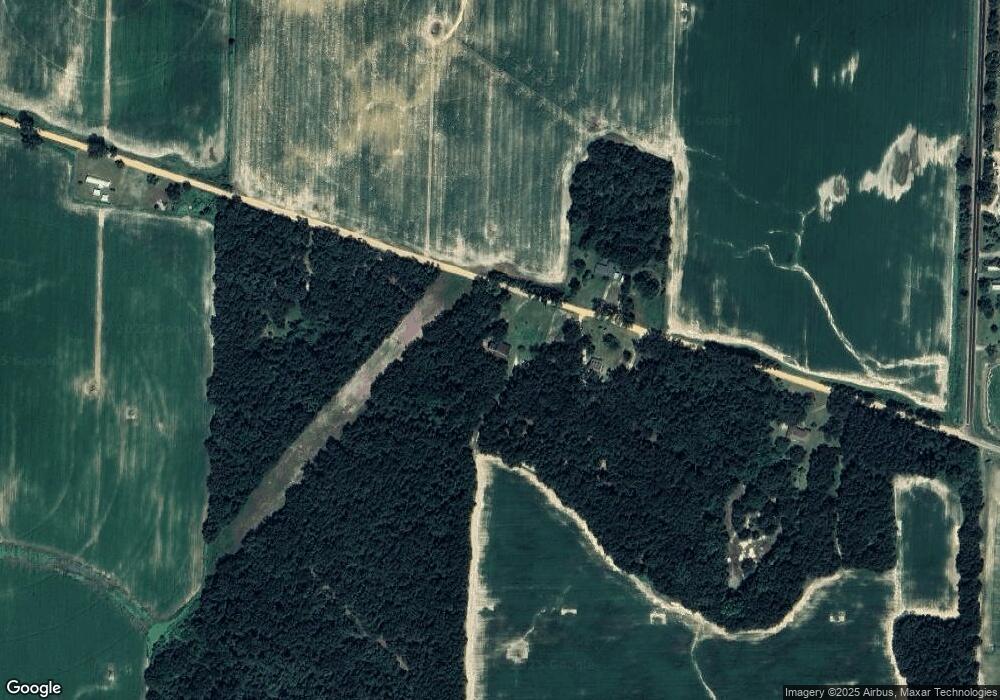
Map
Nearby Homes
- 1645 Georgia 91
- 394 Bush Dairy Rd
- 994 Hornsby Rd
- 308 E Carr St
- 000 Hagen Still Rd
- 000 Hagen Still Rd
- lot 564 Martin Dr
- lot 565 Martin Dr
- 755 Mayhaw Rd
- 0 Hagen-Still Rd
- 000 Hagen-Still Rd
- 816 E 6th St
- 1068 Georgia 39
- 210 W Crawford St
- 508 S Tennille Ave
- 136 S Church St
- 202 W 4th St
- 307 S Morris Ave
- Grady Cobb Rd
- 1502 Brinson Rd