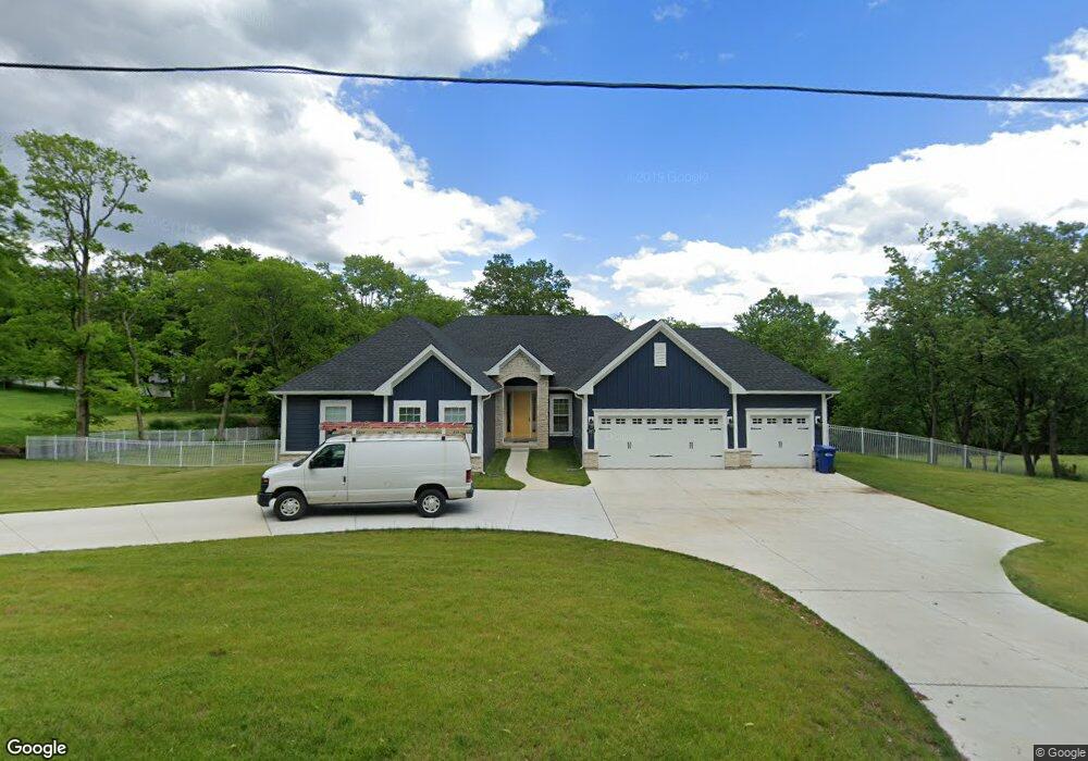
265 Maple Dr Fenton, MO 63026
Estimated Value: $349,000 - $1,035,000
3
Beds
4
Baths
1,444
Sq Ft
$529/Sq Ft
Est. Value
About This Home
This home is located at 265 Maple Dr, Fenton, MO 63026 and is currently estimated at $763,661, approximately $528 per square foot. 265 Maple Dr is a home located in St. Louis County with nearby schools including Stanton Elementary School, Rockwood South Middle School, and Rockwood Summit Senior High School.
Ownership History
Date
Name
Owned For
Owner Type
Purchase Details
Closed on
Apr 15, 2016
Sold by
Carr Brian and Carr Heidi
Bought by
Wolf Daniel and Wolf Alyssa
Current Estimated Value
Home Financials for this Owner
Home Financials are based on the most recent Mortgage that was taken out on this home.
Original Mortgage
$124,600
Outstanding Balance
$98,588
Interest Rate
3.64%
Mortgage Type
Commercial
Estimated Equity
$665,073
Purchase Details
Closed on
Sep 27, 2010
Sold by
Sheppard Carliss E and Adams Jo Anna
Bought by
Carr Brian and Evans Heidi
Home Financials for this Owner
Home Financials are based on the most recent Mortgage that was taken out on this home.
Original Mortgage
$92,000
Interest Rate
4.46%
Mortgage Type
New Conventional
Purchase Details
Closed on
Aug 26, 1999
Sold by
Sheppard William C and Sheppard Lucille J
Bought by
Sheppard William C and Sheppard Lucille J
Create a Home Valuation Report for This Property
The Home Valuation Report is an in-depth analysis detailing your home's value as well as a comparison with similar homes in the area
Purchase History
| Date | Buyer | Sale Price | Title Company |
|---|---|---|---|
| Wolf Daniel | $140,000 | Gateway Title Company Inc | |
| Carr Brian | $115,000 | U S Title | |
| Sheppard William C | -- | -- |
Source: Public Records
Mortgage History
| Date | Status | Borrower | Loan Amount |
|---|---|---|---|
| Open | Wolf Daniel | $124,600 | |
| Previous Owner | Carr Brian | $92,000 |
Source: Public Records
Tax History
| Year | Tax Paid | Tax Assessment Tax Assessment Total Assessment is a certain percentage of the fair market value that is determined by local assessors to be the total taxable value of land and additions on the property. | Land | Improvement |
|---|---|---|---|---|
| 2025 | $9,922 | $151,300 | $35,820 | $115,480 |
| 2024 | $9,922 | $133,960 | $30,880 | $103,080 |
| 2023 | $9,922 | $133,960 | $30,880 | $103,080 |
| 2022 | $9,270 | $116,760 | $30,880 | $85,880 |
| 2021 | $9,199 | $116,760 | $30,880 | $85,880 |
| 2020 | $9,323 | $113,780 | $19,820 | $93,960 |
| 2019 | $9,351 | $113,780 | $19,820 | $93,960 |
| 2018 | $1,307 | $15,260 | $15,260 | $0 |
| 2017 | $1,296 | $15,260 | $15,260 | $0 |
| 2016 | $1,124 | $13,360 | $13,360 | $0 |
| 2015 | $1,100 | $13,360 | $13,360 | $0 |
| 2014 | $523 | $6,190 | $6,190 | $0 |
Source: Public Records
Map
Nearby Homes
- 1418 Bradington Dr
- 1273 Green Falls Dr
- 1716 Preston Centre Dr
- 1221 Newport Landing Dr
- 1233 Newport Landing Dr
- 1251 Green Knoll Dr
- 687 Green Forest Dr
- 1800 Harbor Mill Dr
- 1604 Ivy Chase Ln
- 63 Smoke Tree Dr
- 1230 Summit Meadows Dr
- 1590 Codorniz Ln
- 2221 Bentley Manor Dr
- 1525 Atlantic Crossing Dr
- 1863 Smizer Mill Rd
- 711 Mosely Ct
- 1333 Point Mariner Dr
- 818 Mary Lee Ct
- 1406 Durango Ln Unit 7
- 2245 Fenway Farms Trail
Your Personal Tour Guide
Ask me questions while you tour the home.