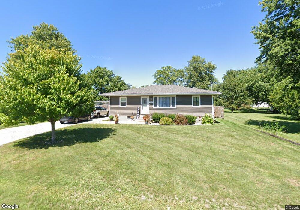
265 Maple St Dunfermline, IL 61524
Estimated Value: $95,000 - $138,000
Studio
--
Bath
--
Sq Ft
12,415
Sq Ft Lot
About This Home
This home is located at 265 Maple St, Dunfermline, IL 61524 and is currently estimated at $117,012. 265 Maple St is a home with nearby schools including Canton High School.
Ownership History
Date
Name
Owned For
Owner Type
Purchase Details
Closed on
Mar 30, 2023
Sold by
Murphy Wesley G and Murphy Anne E
Bought by
Spencer Bradley
Current Estimated Value
Purchase Details
Closed on
Dec 17, 2015
Sold by
Derek Waddell
Bought by
Murphy Wesley
Home Financials for this Owner
Home Financials are based on the most recent Mortgage that was taken out on this home.
Original Mortgage
$56,657
Interest Rate
3.25%
Mortgage Type
New Conventional
Purchase Details
Closed on
Jul 2, 2009
Sold by
Waddellderek
Bought by
Murphywesley
Create a Home Valuation Report for This Property
The Home Valuation Report is an in-depth analysis detailing your home's value as well as a comparison with similar homes in the area
Purchase History
| Date | Buyer | Sale Price | Title Company |
|---|---|---|---|
| Spencer Bradley | $130,000 | Attorney Only | |
| Murphy Wesley | $69,000 | -- | |
| Murphywesley | $69,000 | -- |
Source: Public Records
Mortgage History
| Date | Status | Borrower | Loan Amount |
|---|---|---|---|
| Previous Owner | Murphy Wesley | $56,657 |
Source: Public Records
Tax History
| Year | Tax Paid | Tax Assessment Tax Assessment Total Assessment is a certain percentage of the fair market value that is determined by local assessors to be the total taxable value of land and additions on the property. | Land | Improvement |
|---|---|---|---|---|
| 2024 | $2,401 | $31,440 | $1,360 | $30,080 |
| 2023 | $2,401 | $30,080 | $1,300 | $28,780 |
| 2022 | $1,858 | $30,080 | $1,300 | $28,780 |
| 2021 | $1,603 | $25,730 | $1,300 | $24,430 |
| 2020 | $1,521 | $24,880 | $1,260 | $23,620 |
| 2019 | $1,535 | $25,280 | $1,280 | $24,000 |
| 2018 | $1,448 | $24,800 | $1,260 | $23,540 |
| 2017 | $1,889 | $24,800 | $1,260 | $23,540 |
| 2016 | $1,392 | $23,950 | $1,220 | $22,730 |
| 2015 | $1,389 | $23,950 | $1,220 | $22,730 |
| 2013 | -- | $23,340 | $1,190 | $22,150 |
| 2012 | -- | $22,770 | $1,160 | $21,610 |
Source: Public Records
Map
Nearby Homes
- 106 Lone Pine
- 601 Lincoln St
- 601 Grand Ave
- 20984 E New Bridge Rd
- 1155 S Main St
- 10 W Tamarack St
- 23611 County Highway 22
- 856 S 2nd Ave
- 717 S 6th Ave
- 624 S Main St
- 564 S Main St
- 535 S Main St
- 109 E Oak St
- 454 S 7th Ave
- 0 N County Highway 9 Unit RMAPA1260951
- 640 Grant Place
- 412 W Maple St
- 604 Anderson Place
- 351 S Avenue D
- 24211 N Carver Rd
Your Personal Tour Guide
Ask me questions while you tour the home.